

Directions
From Hungry Horse, travel east on Highway 2 for 51 miles, then 8 miles south on Skyland Road 569. Park in the plowed area along Highway 2, then hike, snowmobile, ski or snowshoe approximately 8 miles along the groomed trail. The cabin is not accessible by car.
Phone
406-387-3800
Activities
CAMPING, HIKING, WINTER SPORTS, WILDLIFE VIEWING
Keywords
CHAC,CHALLENGE,SKYLAND,FLATHEAD NF – FS
Related Link(s)
Overview
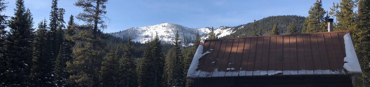
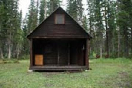
Challenge Cabin is available during the winter and is located about 60 miles southeast of Hungry Horse, in northwestern Montana. It provides a primitive escape for visitors who enjoy winter recreation. The cozy shelter awards visitors with beautiful mountain views, peaceful sounds of nature and virgin, white snow for great photography and snow play.
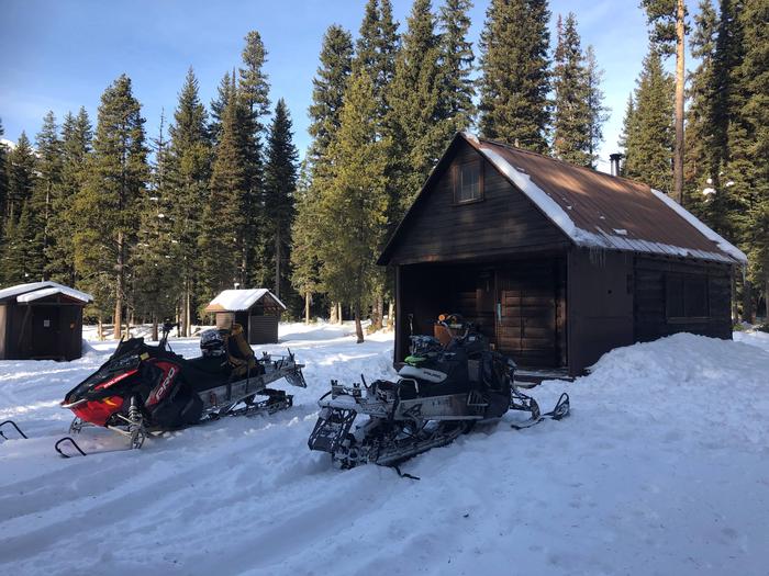
Access to the cabin involves an 8-mile trek by hiking, skiing, snowshoeing or snowmobiling. Guests are responsible for their own travel arrangements and safety, and must bring several of their own amenities.
Recreation
Cross country skiing, snowmobiling and snowshoeing are popular activities enjoyed by visitors to the area. Reaching the cabin on the 8-mile access trail is part of the snow sport fun. Visitors might also catch a glimpse of any number of wildlife that lives in the area.
Facilities
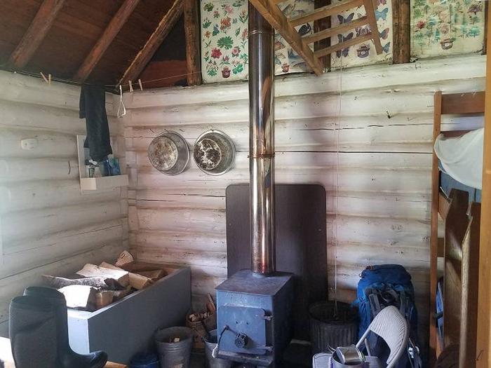
The cabin can sleep up to five guests. It is equipped with a propane cook stove, lights, and a wood stove. Furnishings include a table and chairs, a bunk bed and a small loft where additional people can roll out sleeping bags. Basic cooking pots and utensils are supplied, but guests are encouraged to bring their own. Pets are allowed, but cleaning up after them is required.
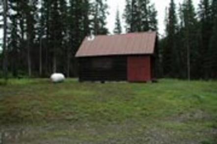
A vault toilet is provided outside the cabin. Firewood is included for heating in the wood stove.
Guests should bring their own water for drinking, cooking and cleaning purposes, as well as food, bedding, flashlights, garbage bags and basic camp gear. Click here for more cabin details.
Natural Features
The cabin sits in a meadow surrounded by a stand of Douglas fir and pine trees, near Challenge Creek. The Hungry Horse Ranger District is bordered on the east by the Middle Fork of the Flathead River and Glacier National Park.
Nearby Attractions
The nearest grocery stores are in East Glacier and Hungry Horse. Both towns are about an hour-and-a-half drive, in addition to the trek from the cabin.