
Directions
From Ennis, travel south on Highway 287 for about 32 miles to the West Fork Rest Area. Turn right onto West Fork Road/Forest Road 209 and continue for about 2 miles. Turn right onto Standard Creek Road/Forest Road 237 and travel 18 miles to the cabin. Maps may be purchased by calling the Madison Ranger District.
Phone
406-682-4253
Activities
CAMPING, HIKING, HUNTING, WINTER SPORTS
Keywords
BLKB,BLACK BUTTE,BEAVERHEAD-DEERLODGE NF -FS
Related Link(s)
Overview
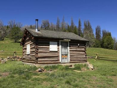
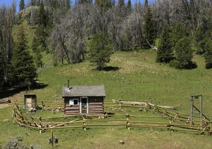
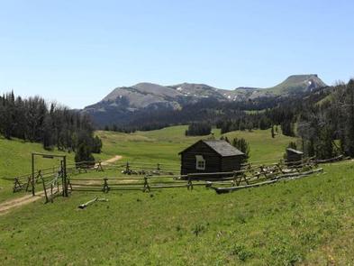
Black Butte Cabin is a snug log cabin that sits high in the Gravelly Mountains. It sleeps four people and has scenic views of Lion Mountain. The area is home to a variety of wildlife and provides access to numerous trails for hiking, horseback riding and off-road vehicles during warmer months, and snowmobiles in the winter.
The cabin is open nine months out of the year, July through March, and can typically be accessed by vehicle in summer and fall, however a portion of the roadway may be muddy or snow-covered, requiring four-wheel drive or chains. Snowmobiles are necessary to reach the cabin in winter. Guests are responsible for their own travel arrangements and safety, and must bring several of their own amenities, including water.
Recreation
A number of hiking and horseback riding trails originate along the road adjacent to the cabin and explore various drainages in the area. Hikers can also summit Black Butte, just over the ridge from the cabin, on a user-created trail that leads to the peak . Off-road vehicles must stay on designated trails at all times. The area is also popular during winter months for cross-country skiing, snowmobiling and snowshoeing.
Guests enjoy hunting in the surrounding wilderness. The area is home to some of the highest-elevation pronghorn antelope, as well as other wildlife. Fishing is available in nearby Standard Creek, where anglers might catch cutthroat and brown trout.
Facilities
You must call the Madison Ranger District at 406-682-4253 Monday – Friday 8:00 am to 4:30 pm for the cabin combination. The office is NOT open on Federal Holidays.
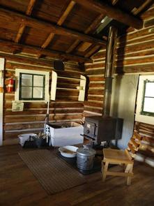
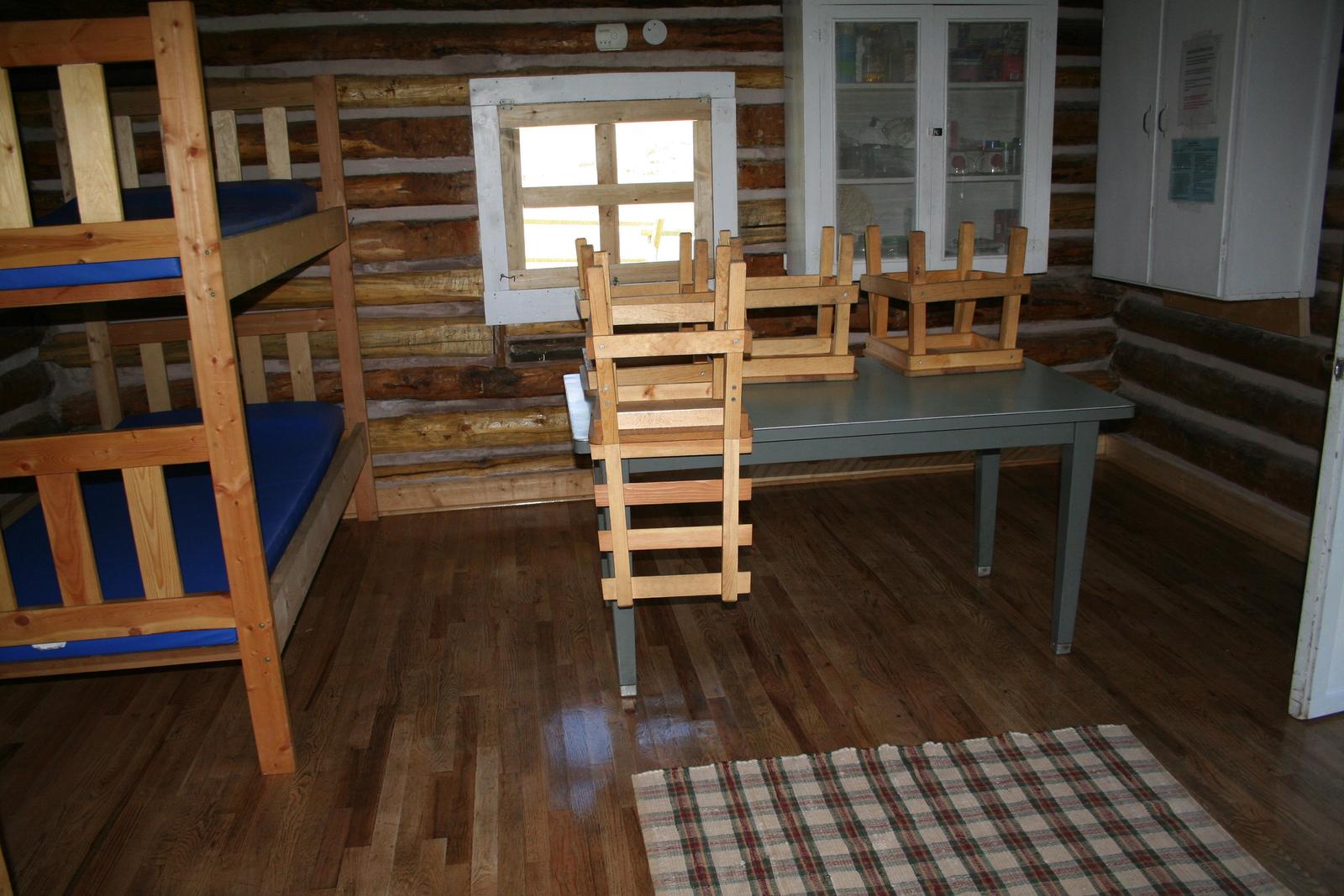
The primitive one-room cabin sleeps up to four people and has two bunkbeds with mattress pads. It is equipped with a propane camp stove and propane lantern, however propane is not supplied.
A table and chairs, basic cooking equipment and a wood stove for heat are provided. Firewood is available, stacked against the fence behind the cabin. An outhouse with a vault toilet is located across the road, about 100 feet from the cabin.
Guests need to bring their own water for drinking, cooking and cleaning purposes, as well as bedding, towels, food, toilet paper and garbage bags, among other necessities. Guests are required to replenish the supply of split firewood, pack out all garbage and THOROUGHLY CLEAN the facility prior to leaving. Cell phone service is not available near the cabin but might be available a few miles south along the Gravelly Range road #290.
Natural Features
The cabin is located on the edge of a large, grassy meadow in the Gravelly Range at an elevation of 8,900 feet. 10,542′ Black Butte, the highest peak on the range and an old volcanic cone, overlooks the cabin. The cabin is used primarily for hunting and snowmobiling and is available from July 1 to March 31. Four-wheel drive and chains may be needed to access the cabin due to mud or snow. During winter or depending on snow conditions, snowmobiles may be necessary for up to 21 miles of the route. Various weather conditions can impact the area’s avalanche risks; guests are encouraged to practice safe snowmobiling techniques.
Nearby Attractions
The cabin is approximately 60 miles west of Yellowstone Park.