
Directions
From Fort Collins, take Highway 14 northwest for 32 miles.
Phone
970-295-6700
Activities
BIKING, BOATING, CAMPING, FISHING, HIKING, WATER SPORTS, WILDLIFE VIEWING, MOUNTAIN BIKING, KAYAKING, CANOEING, BIRDING, RAFTING, WHITEWATER RAFTING
Keywords
NARS,NARROWS,LOWER NARROWS,UPPER NARROWS,ARAPAHO AND ROOSEVELT NF – FS
Related Link(s)
Colorado State Road Conditions
Overview
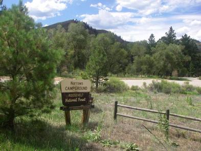
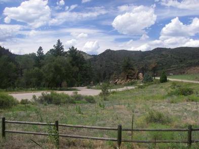
Narrows Campground is located on the Cache la Poudre River, 32 miles northwest of Fort Collins, Colorado, along Highway 14. Visitors enjoy the area for its great rafting, fishing and hiking opportunities.
Recreation
The Cache la Poudre River offers whitewater rafting and fishing. Anglers cast for brown, cutthroat and rainbow trout.
Hiking, biking and horseback riding trails are in the surrounding area, including the Mt. McConnel Trail, William R. Kreutzer National Recreation Trail and Young Gulch Trail.
Other popular activities include birding and wildlife viewing.
Facilities
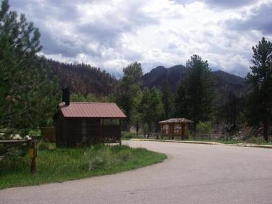
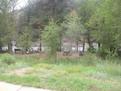
The campground offers accessible single-family sites, including eight walk-to tent sites. Each site is equipped with a 12×15′ tent pad, a picnic table and a campfire ring with grill.
Vault toilets and drinking water are provided. Dead and downed firewood may be gathered in the forest or purchased from the host.
Natural Features
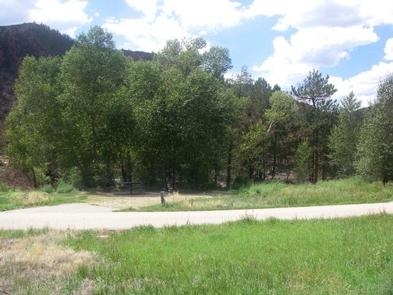
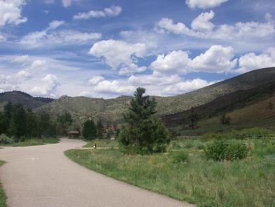
The canyon’s vegetation varies from dense forests to open meadows, surrounded by steep mountains. The campground is situated among ponderosa pine and aspen trees on the banks of the Cache la Poudre River, Colorado’s first National Wild and Scenic River. The lower loop drops off steeply to the river.