Directions
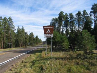
The facility is 30 miles southeast of Fredonia, Arizona on U.S. Route 89A. It is 0.1 miles from the intersection of U.S. Route 89A and State Route 67.
Phone
928-643-7770
Activities
BIKING, HISTORIC & CULTURAL SITE, CAMPING, HIKING, HORSEBACK RIDING, HUNTING, PICNICKING, DAY USE AREA
Keywords
JACB,KAIBAB NF – FS
Related Link(s)
Overview
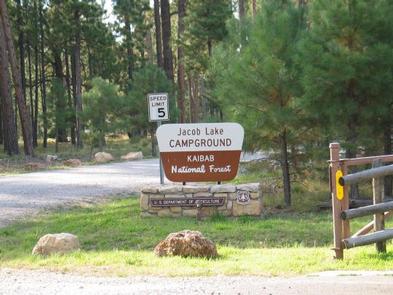
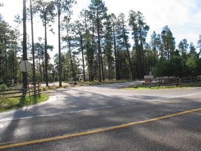
Jacob Lake Recreation Area is conveniently located in Jacob Lake, Arizona, the gateway to the Grand Canyon’s North Rim. The campground is nestled among the towering Ponderosa Pine trees of the North Kaibab National Forest, where ample opportunities to enjoy nature abound, from hiking and mountain biking to birding.
Summer temperatures are pleasant during the day and nights are cool, while several feet of snow cover the landscape in winter. The campground closes each year by the end of October, though the national forest remains open.
Recreation
Grand Canyon National Park is a popular destination for campers staying at Jacob Lake Recreation Area. But from the campground itself, visitors can walk a pleasant one-mile loop trail, or take a 10 minute drive to the Kaibab Plateau Trail a section of the Arizona Trail, which runs north-to-south across the entire length of the state. The national forest also has a variety of mountain biking trails ranging from beginner to advanced levels. There is no fishing at Jacob Lake.
Reservations for horseback riding and chuck wagon rides, as well as bike rentals, are available at Jacob Lake Inn across the street.
Facilities
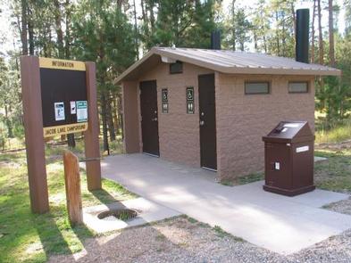
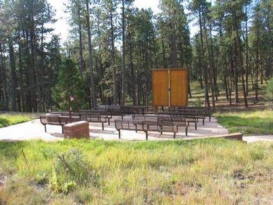
The group campground is adjacent to Jacob Lake Campground and features two group sites that can accommodate up to 100 people each. While perfect for weddings, family reunions and other large group events, this campground is not intended for traditional camping with small groups of people. The facility offers ramadas, grills, tables, toilets and water.
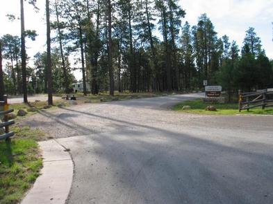
Jacob Lake Recreation Area is very accessible. It is located on 89A, a paved U.S. highway, yet set far enough back from the road to provide privacy. The roads within the campground are gravel.
The facility is across the street from Jacob Lake Inn, which has a restaurant, gas station, gift shop and limited groceries, and the Kaibab Plateau Visitor Center. The nearest full facilities are 30 to 40 miles away in Fredonia, Arizona and Kanab, Utah.
Natural Features
Jacob Lake is at an elevation of 7,920 feet. The Kaibab Plateau is an area uplifted by geologic processes, making it higher in elevation than the surrounding deserts (the closest town of Fredonia, Arizona is 28 miles away and nearly 4,700 feet).
Many species of wildlife call the Kaibab home, including the tassel-eared Kaibab squirrel, found nowhere else in the world, and numerous species of birds. The nearby lake only fills up with water occasionally, but marsh areas along the edges of the lake are great bird habitats.
Nearby Attractions
The campground is 44 miles north of Grand Canyon National Park’s rustic and less populated North Rim – home to abundant wildlife, hiking trails, spruce-fir and Ponderosa pine forests and unparalleled views of one of the Seven Natural Wonders of the World. Enjoy a visit to the North Rim from mid-May through mid-October; the road is closed during winter.

