

Directions
From Safford, Arizona: Take State Route 191 south for 6 miles. Turn right onto State Route 366/Swift Trail and travel 14.5 miles to the Twilight Campground entrance (MM 128.4), following the road for 1 mile to the Upper Twilight Group Site.
From Tucson, Arizona: Take I-10 East for 90 miles. Take exit 352 for State Route 191, and turn left toward Safford. Drive 26.3 miles north and turn left on State Route 366/Swift Trail. Continue for 14.5 miles to the Twilight Campground entrance (MM 128.4), following the road for 1 mile to the Upper Twilight Group Site.
Phone
928-428-4150
Activities
BIKING, CAMPING, FISHING, HIKING, PICNICKING, VISITOR CENTER, WILDLIFE VIEWING, RANGER STATION, SCENIC DRIVE
Keywords
Upper Twilight,Twilight Group Site,Upper Twilight Group,Twilight,Twilight Group,UPPER TWILIGHT GROUP SITE (AZ)
Related Link(s)
Overview
At an elevation of 7,400 feet, Upper Twilight Group Site offers groups a secluded camping escape from the summer desert heat. The scenic mountain setting is a great base for hiking, wildlife viewing and picnicking. The facility sits along the Swift Trail in southeastern Arizona, adjacent to Lower Twilight Group Site.
Recreation
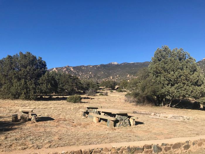
The campground lies along the Swift Trail Scenic Drive, which takes visitors from the Sonoran Desert at 2,900 feet to alpine meadows and forest on the 9,000+ foot ridges of the Pinaleño Range. Because of its diverse habitat, the area is well-known for birding and wildlife watching.
The Swift Trail provides access to a number of hiking, horseback riding and mountain biking trails, along with several other campgrounds that invite you for an afternoon picnic. A trip up to Riggs Lake, stocked with trout by Arizona Game & Fish, or to the Columbine Visitors Center could make a worth-while day trip as well.
Facilities
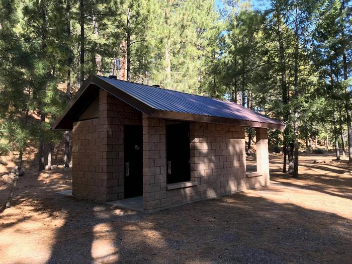
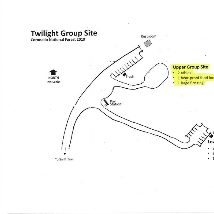
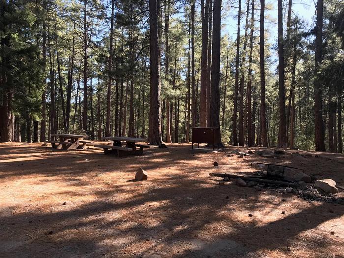
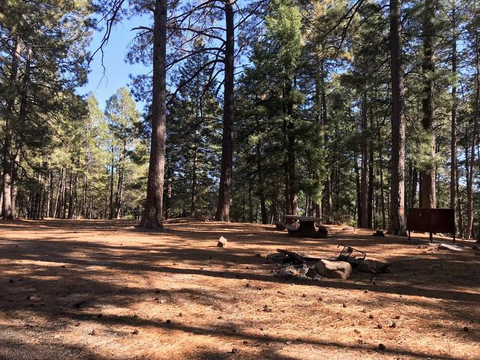
Upper Twilight can accommodate a single group of up to 50 guests. Amenities include vault toilets, parking areas for up to six vehicles, picnic tables, and a group campfire ring with a grill. Bear-proof food lockers and trash cans are provided to keep visitors and wildlife safe. Dead-and-downed firewood may be collected in and around the campsite.
Natural Features
The campground lies beneath a nice canopy of ponderosa pine trees in the scenic Pinaleño Mountains in Coronado National Forest. Temperatures are very pleasant in summer compared to the heat of surrounding lowers deserts.
The Coronado National Forest covers 1.78 million acres of southeastern Arizona and southwestern New Mexico. Elevations range from 3,000 to 10,720 feet in 12 widely scattered mountain ranges, or “sky islands,” that rise dramatically from the desert floor, supporting biologically diverse plant communities.
Nearby Attractions
The Mount Graham Wilderness Study Area, which includes the 10,720-foot Mount Graham, the tallest mountain in southern Arizona. Columbine Visitors Center, Riggs Lake, and a variety of trails can be accessed along the Swift Trail Scenic Drive.
The town of Safford is approximately a 45 minute drive from the Twilight campground, heading north on SR 191. Safford is home to our Ranger Station, where you can go to find information about trails, camping, hunting and fishing, and other questions you may have about our district (open Monday-Friday, 8am-4:30pm).
Charges & Cancellations
Please review the Rules & Reservations Policies page on recreation.gov