
Directions
Visitors can get to the island via passenger ferry or private watercraft. The ferry departs from Grand Island Landing on the mainland, located on State Route 28. Look for the Grand Island National Recreation Area signs. Prices and schedules vary from season to season. For information or reservations, call 906-387-3503 or click here.
Murray Bay is located approximately 2 miles from where the ferry boat docks at Williams Landing. VIsitors must hike or bike from the landing to Murray Bay. Boats must anchor off-shore.
Phone
906-387-2512
Activities
BIKING, BOATING, HISTORIC & CULTURAL SITE, CAMPING, FISHING, HIKING, HUNTING, WILDLIFE VIEWING, FIRE LOOKOUTS/CABINS OVERNIGHT, SWIMMING SITE
Keywords
Grand Island Group Site,Murray,MURRAY BAY GROUP CAMPSITE on GRAND ISLAND (MI),Murray Bay,Murray Bay Group Campsite,GRAND ISLAND NATIONAL RECREATION AREA
Related Link(s)
Michigan State Road Conditions
Overview
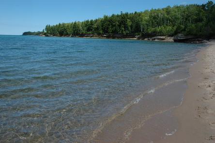
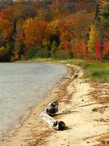
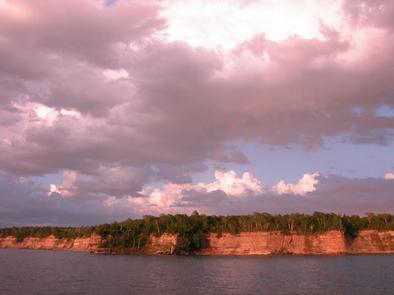
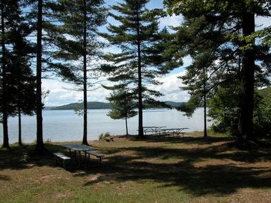
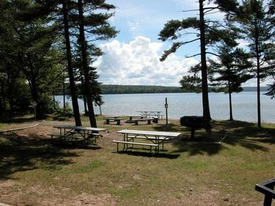
Murray Bay Group Campground is located on the southern shores of Grand Island, at the southeastern tip of Lake Superior. The island’s scenic natural beauty and interesting history make it an attractive place for camping and other outdoor activities.
The Grand Island National Recreation Area boasts massive 300-foot wave-cut sandstone cliffs, 13,500 acres of lush forest, beaches of fine sand, winter ice caves and historic buildings and artifacts dating back as far as 2000 B.C.
Recreation
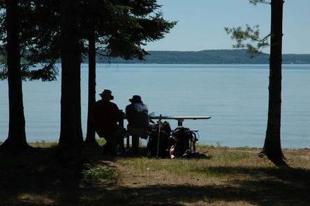
The sandy lake is a popular swimming destination. Boating is also available, however, there is no boat ramp or dock facility at the campground.
Anglers and hunters frequent the area for its wide variety of fish and game. Licenses are required to participate in either activity.
Visitors also enjoy over 30 miles of hiking and mountain biking trails on the island. A bus tour is also available for those who would like to learn more about the island’s natural and cultural history.
Facilities
The campground offers a single group campsite that can accommodate up to 25 guests, as well as a day-use picnic area. Both are equipped with tables and campfire rings with grills.
Vault toilets and drinking water are also provided. Camping is not allowed at the day-use site. A bear pole and box for food storage are provided at each site.
Natural Features
Grand Island and the Murray Bay Group Campground are part of the Hiawatha National Forest, near Michigan’s Upper Peninsula. Calm waters and white-sand beaches beckon boaters and swimmers to the area.