CHERRY GLEN PICNIC, IA Campground Reservation, Info, Images, Map, Directions

CHERRY GLEN PICNIC, Iowa Campground Images, Info & Reservations

Listen

Directions

Utilize address 4586 NW 94th Avenue Polk City IA 50223 (Not a valid mailing address). From I-35, take Exit 92 in Ankeny and turn right on East 1st Street. Travel approximately 5 miles west to NW 94th Ave. Continue across HWY 415 approximately .5 miles to Cherry Glen Picnic Area on your right.

Phone

515-276-4656

Activities

BIKING, CAMPING, FISHING, HIKING, WILDLIFE VIEWING

Keywords

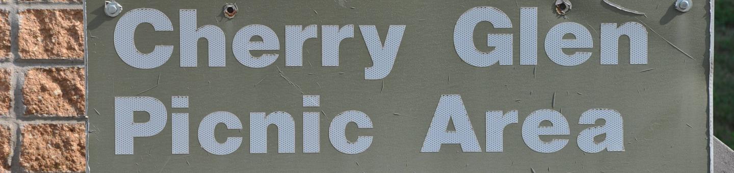
CHERRY GLEN PICNIC (IA)

Related Link(s)

Rec Area Info & Images

Iowa State Road Conditions

Iowa State Tourism

Overview

Cherry Glen Picnic Area is a day-use facility located on the 26,000-acre Saylorville Lake Project, which stretches over 50 miles up the Des Moines River Valley. The lake provides a wide variety of recreational activities, including boating, swimming, fishing, hiking and hunting.

Recreation

Visitors come to Saylorville Lake for its great boating, sailing, water skiing, windsurfing and swimming opportunities. Anglers fish for walleye, wiper, largemouth bass, catfish, crappie and northern pike.

The paved Neal Smith Trail winds 24 miles from Des Moines to Big Creek State Park and connects the campgrounds on the east side of the lake. It is designated as a National Recreation Trail and is used for biking, hiking, jogging, walking and in-line skating.
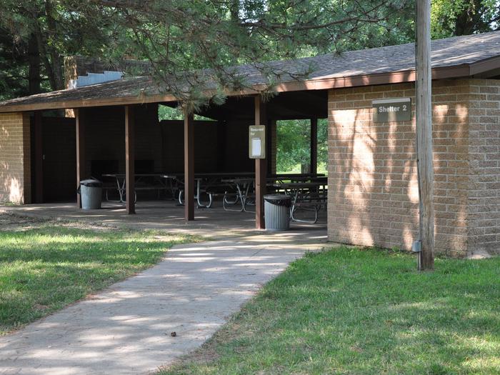
Facilities

This day-use area offers six group picnic shelters, all with electric hookups. Amenities include flush toilets, a playground and hiking trails. Cherry Glen Campground is adjacent as well as Cherry Glen Boat Ramp.

Natural Features

Cherry Glen is nestled on a compact 13-acre wooded ridge. Visiting with family and friends while relaxing in the shade of one of the area’s many trees is a popular pastime.

Wildlife is abundant throughout the project. White-tailed deer, turkeys, pheasants, waterfowl, and other small game animals roam the lands around the lake.

Nearby Attractions

Cherry Glen Campground and Cherry Glen Boat Ramp.

Reservation

More from CampingHiking.net:

PACKERS CABIN, Oregon Campground Images, Info & Reservations

Listen Directions From Portland take 1-5S to US 199 South to Brookings. From Brookings, Oregon, take U.S. Highway 101 and turn onto County Road 784 (North Bank Chetco River Road). This becomes Forest Road 1376. Follow this Forest Road 1376 to the junction with Forest Road 1917. Follow Forest Road

WHISPERING FALLS CAMPGROUND, Oregon Campground Images, Info & Reservations

Listen Directions From Detroit, Oregon follow Highway 22 southeast for 8.3 miles to Whispering Falls Campground on the right. Phone 503-854-3366 Activities FISHING, WATER ACTIVITIES Keywords Related Link(s) Rec Area Info & Images Forest Service Concessionaire Oregon State Tourism Oregon State Road Conditions Overview Whispering Falls Campground is an excellent

SHORT CREEK GUARD STATION, Oregon Campground Images, Info & Reservations

Listen Directions From the town of Prairie City, OR., turn South (right) onto South Main Street. Follow South Main Street to the junction with Bridge Street, turn left onto Bridge Street. Follow Bridge Street past the local cemetery, the road then changes to County Road 62. Continue on County Road

FISH CREEK PAVILION, Idaho Campground Images, Info & Reservations

Listen Directions From Grangeville, head south on Grangeville-Salmon Road for approximately 7 miles to the Fish Creek Meadows area. Turn right onto Forest Road 4600. The entrance to Fish Creek Pavilion is located 300 feet ahead on the left. Phone 208-983-1950 Activities CAMPING, HIKING, HORSEBACK RIDING Keywords None Related Link(s)