
Directions
Physical Address (NO MAIL SERVICE): 1400 Fort Pickens Road, Pensacola Beach, FL 32561
From I-10, take I-110 S to Pensacola. Take U.S. Highway 98S/FL Highway 30 over Pensacola Bay to Gulf Breeze. Follow 98 through Gulf Breeze, turn right onto FL Highway 399 to Pensacola Beach. Pay $1/vehicle at (Sunpass) toll booth entering Pensacola Beach, then turn right at the traffic light onto Fort Pickens Road. It is about 3 miles to the park entrance station, then 4 miles to the campground registration office.
Phone
850-934-2622
Activities
BIKING, BOATING, HISTORIC & CULTURAL SITE, CAMPING, INTERPRETIVE PROGRAMS, HIKING, VISITOR CENTER, WATER SPORTS, SWIMMING SITE
Keywords
FORT PICKENS,Gulf Islands Campground,Gulf Islands National Seashore Campground,Fort Pickens State Park,Fort Pickens National Park Campground,Gulf Islands National Park Campground,FORT PICKENS CAMPGROUND (FL)
Related Link(s)
Overview
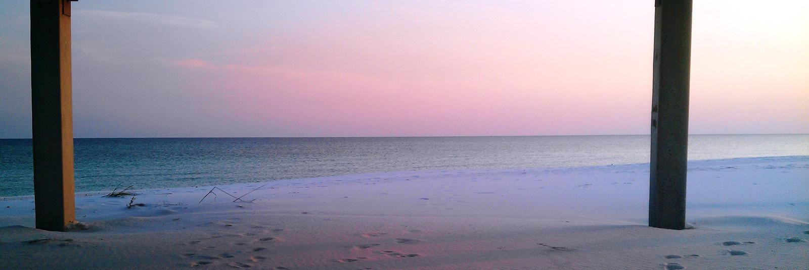
Fort Pickens Campground is situated on Santa Rosa Island, a part of the Gulf Islands National Seashore south of Pensacola and Gulf Breeze, Florida. Visitors enjoy the seashore for its great recreational activities, historic sites and unique white sand beaches.
Recreation
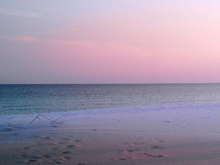
Many visitors young and old come to Fort Pickens to enjoy its scenic location on the beach. The white sands of Santa Rosa Island are the perfect place for a long walk or an afternoon of building sandcastles. The warm ocean waters are great for swimming and snorkeling.
Fishermen will find a pier just a short distance from the picnic pavilions. It can be used by visitors without a Florida fishing license. Many hiking trails through the sand dunes provide beautiful views and hours of exploration.
Historic Fort Pickens, a pentagonal fort built to defend Pensacola Bay in 1834, is just 1 mile from the campground. The structure was fortified after the War of 1812 and was one of four forts in the South never occupied by Confederates during the Civil War.
Facilities
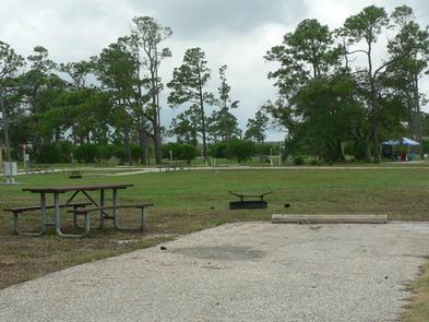
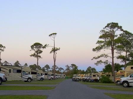
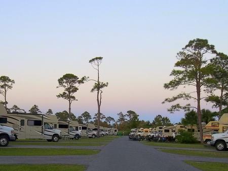
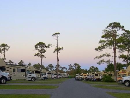
This campground is open for reservations year-round. It contains 137 family sites with electric and water hookups, as well as 40 non-electric tent sites, one non-electric tent only group site with water hookup is also available. Amenities include flush toilets, showers, drinking water and a dump station. There are no boat ramps in the Fort Pickens area. All Fort Pickens campsites are available to book up to 6 months in advance with 24 hour booking window. First-come, first-served sites may occasionally be available for visitors who arrive at the CG before 5:00 pm. Please inquire before arrival as same day availability is rare. Fort Pickens does not have a wait list or call back system if CG is full.
Natural Features
The campground is located on a barrier island between the Gulf of Mexico and Pensacola Bay. Groves of live oak trees are scattered across the island, providing shelter for resident and migrating bird populations, as well as shade for park visitors.
The Gulf Islands National Seashore is home to sparkling blue waters, white beaches and coastal marshes. However, more than 80% of the national park is underwater, as it’s a vital protective habitat to marine life.
Nearby Attractions
The campground is a short distance from restaurants and beach nightlife, downtown Pensacola, the Pensacola Naval Air Station and Naval Aviation Museum, the Pensacola Lighthouse and other historic sites. Campsites are within 1/4 mile of the beaches of the Emerald Coast of the Gulf of Mexico and Pensacola Bay.