BERLIN FLATS, ID Campground Reservation, Info, Images, Map, Directions

BERLIN FLATS, Idaho Campground Images, Info & Reservations

Directions

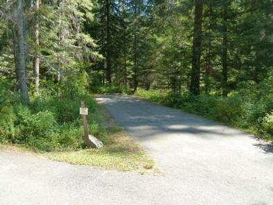
From Coeur d’Alene, the route is 28 miles east on Interstate 90, then 26 miles north (Kingston exit) on paved Forest Road #9, then 5 miles north from Prichard on paved Forest Road #208, then 9 miles north on Forest Road #412 (paved except 2 miles).

Phone

435-245-6521

Activities

CAMPING, FISHING, WATER SPORTS

Keywords

BERLIN FLATS,BERLIN FLAT,BERLIN

Related Link(s)

Rec Area Info & Images

Forest Service Concessionaire

Idaho State Road Conditions

Idaho State Tourism

Overview

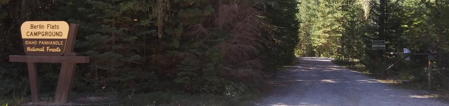
Berlin Flats Group Area is located along Shoshone Creek, near the North Fork Coeur d’Alene River. This area provides a perfect escape for a warm summer weekend. Here, visitors can tent camp or pull out their RVs and trailers. The nearby river provides ample fishing and river floating opportunities.

Recreation

Catch-and-release cutthroat trout fishing is also popular on Shoshone Creek, and the North Fork Coeur d’Alene River. Rafting, swimming and kayaking are favorite activities on the water.
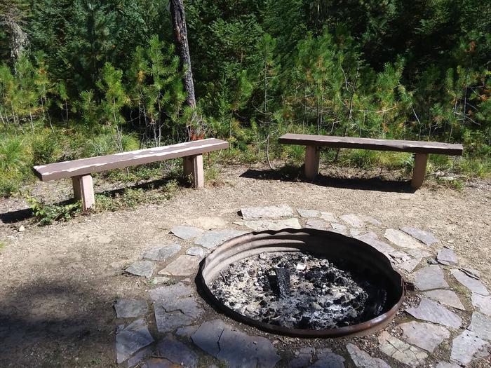
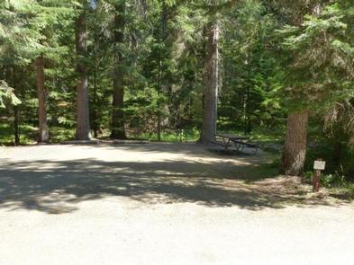
Facilities

Berlin Flats Group Area was formed from 9 single family sites. The group area can accommodate up to 75 people. Amenities include drinking water and vault toilets within 10 miles.

Natural Features

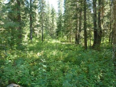
The campground sits among lodgepole and other mixed pines along the river at an elevation of 2,600 feet. The area is located among peaks of the Cascades, about 70 miles from the popular Coeur d’Alene Lake. Wildlife watchers and photographers have the chance to see mule deer, moose, osprey and calliope hummingbirds.

Reservation

More from CampingHiking.net:

NIZHONI, Utah Campground Images, Info & Reservations

Directions From Blanding, Utah, travel north on Highway 191 approximately two miles. Turn left on E. Pinion Ridge Road (National Forest Access sign: Dry Wash Reservoir) and proceed 3/4-mile to the stop sign. Turn right on Forest Road 079 and continue approximately 10 miles to the campground on the right

COLORADO CAMPGROUND, Colorado Campground Images, Info & Reservations

Directions From the I-25 and Highway 24 intersection in Colorado Springs, travel west on Highway 24 for about 18 miles to the intersection with Highway 67 in Woodland Park. Turn right (north) on Highway 67 and drive about 6.7 miles to Colorado Campground. The campground is on the right side

TAHKENITCH CAMPGROUND, Oregon Campground Images, Info & Reservations

Directions From Reedsport, drive north 7.5 miles on Highway 101. Campground is on the west (left) side of Highway 101. Phone 541-271-6000 Activities BOATING, CAMPING, FISHING, WILDLIFE VIEWING, SWIMMING SITE, BIRDING Keywords TAHK,OREGON DUNES,SIUSLAW NF – FS Related Link(s) Rec Area Info & Images Oregon State Road Conditions Oregon State

BELLAH MINE, Arkansas Campground Images, Info & Reservations

Directions From DeQueen, AR, take Highway 71 north for 7 miles. Turn west onto Bellah Mine Road and continue for 5 miles, following signs into the campground. Phone 870 386 7511 Activities BOATING, CAMPING, FISHING, HUNTING, WATER SPORTS Keywords BELL,DEQUEEN LAKE,DEQUEEN LAKE Related Link(s) Rec Area Info & Images Arkansas