
Directions
Turn off U.S. Highway 2 at milepost 144 and follow the West Side Hungry Horse Reservoir (Forest Road #895) across the Hungry Horse Dam. The campground is 3 miles south of the Dam. The road is paved to the campground.
Phone
406-752-7924 FOR RESERVATIONS CALL: 1-877-444-6777
Activities
BOATING, CAMPING, FISHING, HIKING, WILDLIFE VIEWING, SWIMMING SITE
Keywords
Doris Point
Related Link(s)
Overview
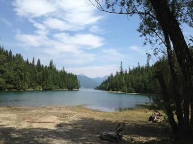
Doris Creek Campground is located high in the Rocky Mountains, west of the Continental Divide and just south of the Canadian border. Spectacular views and ample opportunities for recreation surround the campground.
Recreation
Boating is popular on the 27,750-acre reservoir, and a concrete boat ramp is accessible at Doris Point Boat Launch above the campground which also provides ample parking. Swimming and fishing are also popular pastimes, and anglers can expect to catch a variety of fish, including cutthroat trout.
Facilities
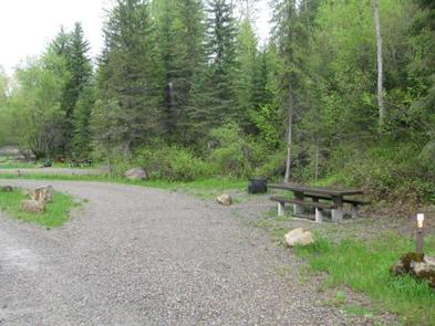
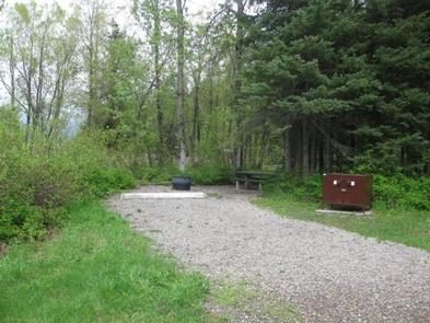
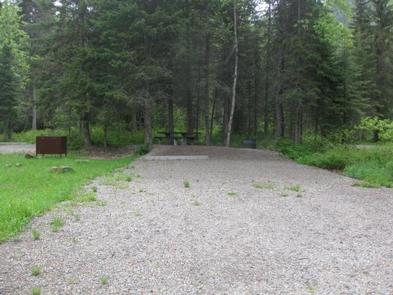
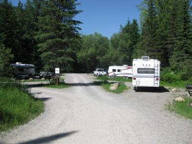
The campground offers 9 overnight sites for tent and RV camping. Each is equipped with tables and campfire rings with grills. There is no water at this campground. Please bring your own drinking water. An accessible vault toilet is provided. Campground roads and parking spurs are gravel. Campground host is available to answer any questions about the campground and surrounding area. The campground also offers first-come, first-serve sites as well.
Natural Features
The campground is situated along the massive Hungry Horse Reservoir, which was dammed to provide hydroelectric power and flood control to the area. It is the 10th highest dam in the United States and provides a stunning backdrop. Home to lynx, grizzly bear and bull trout, the forest is a premiere destination for visitors.
Nearby Attractions
Doris Creek Campground is approximately 14 miles southwest of the West Glacier entrance to Glacier National Park.
Charges & Cancellations
Cancellations made within 14 days of arrival will be “considered” for a refund, by the concessionaire, of Camping fees only and will automatically forfeit the first nights fee. Day of Arrival cancellations must be turned in by calling 1-877-444-6777, then followed up with a call to Cheryl at 406-752-PWAI (7924) or 406-404-4164 to get the information to the campground and to be considered for any refund.