Midway Campground (FL), FL Campground Reservation, Info, Images, Map, Directions

Midway Campground (FL), Florida Campground Images, Info & Reservations

Listen

Directions

From Naples: Follow US HWY 41 east until you see signs for campground (approximately mile marker 52)
From Miami: Follow US HWY 41 west until you see signs for campground (approximately mile marker 52)

Phone

1 (239) 695-1205

Activities

CAMPING, DAY USE AREA

Keywords

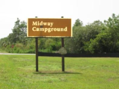
Midway Campground,Big Cypress

Related Link(s)

Rec Area Info & Images

Florida State Tourism

Florida State Road Conditions

Overview

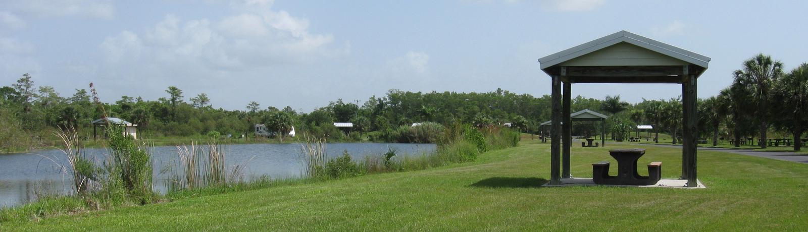
Midway Campground is a beautiful place where visitors can enjoy the surrounding preserve while sitting at their picnic table. Visitors may enjoy nearby activities such as fishing, hiking through the preserve, and exploring the many boardwalks.

Recreation

Midway Campground is centrally located in Big Cypress National Preserve, offering a multitude of recreational activities. Ranging from hiking, biking, fishing, hunting, photography, and off-road vehicle trails.

Facilities

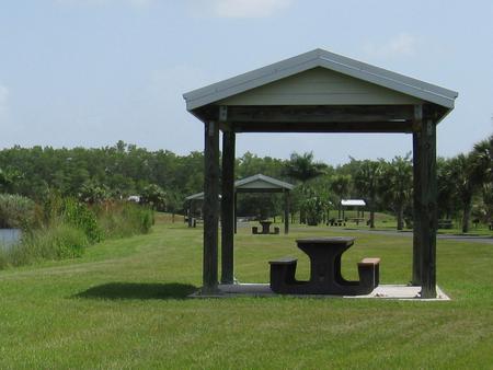
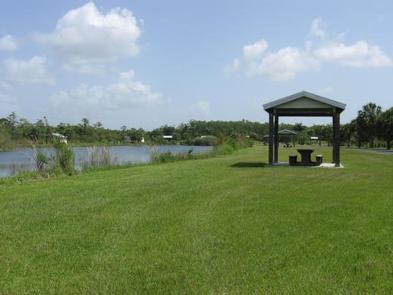
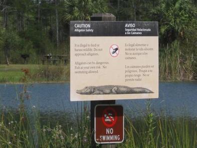
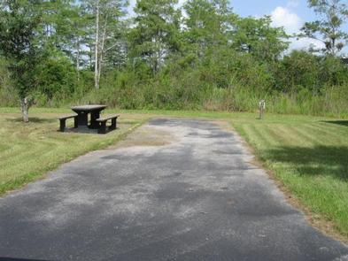
This campground offers electric hookups for RV sites, dump station, flush toilets, and water. Each RV campsite has its own picnic table and hibachi style grill. Covered picnic areas are located around the lake for day use.

Natural Features

The RV campsites surround the lake offering a view from every site. Each campsite is open with limited to no shade. The outer perimeter of the campground is lined with a mixture of different trees.

Nearby Attractions

Located just off the highway, this campground is close to the Oasis Visitor Center, Miccosukee Cultural Center, Shark Valley, and Clyde Butcher’s Art Gallery.

Reservation

More from CampingHiking.net:

ARCH DAM CAMPGROUND, Utah Campground Images, Info & Reservations

Listen Directions From Vernal, Utah, take U.S. 191 north for about 46 miles. From Manila, Utah, take Highway 44 for 28 miles. Turn left on U.S. 191 and go about 6 miles north. From Rock Springs, Wyoming, take I-80 west toward Green River about 6 miles to the junction with

POOLE CREEK, Oregon Campground Images, Info & Reservations

Listen Directions From Roseburg, OR, travel east on OR-138 / NE Diamond Lake Boulevard for approximately 72 miles, turn left onto Forest Road 2610 (Bird’s Point Road). Proceed 4 miles and turn right at the Poole Creek Campground sign. The campground is located on the west shore of Lemolo Lake.

SPLIT MOUNTAIN GROUP CAMPGROUND, Utah Campground Images, Info & Reservations

Listen Directions Split Mountain Campground is located approximately 12 miles north of US Highway 40. Take Utah State Route 149 from Jensen, Utah. Phone 435-781-7700 Activities BIKING, BOATING, HISTORIC & CULTURAL SITE, CAMPING, FISHING, HIKING, VISITOR CENTER, WILDLIFE VIEWING Keywords DNM Related Link(s) Rec Area Info & Images Utah State

GROOM CREEK HORSE CAMP, Arizona Campground Images, Info & Reservations

Listen Directions From Phoenix, Arizona, Take I-17 north for 61.8 miles. Take exit 262 toward Cordes Junction/Prescott. Merge onto State Route 69 west and follow for 33.8 miles. At the split, take the ramp for Route 89 south. Turn slight left onto East Gurley Street/89 and follow for about 0.8-mile.

ROCK CREEK LAKE, California Campground Images, Info & Reservations

Listen Directions From Mammoth Lakes, California, drive south on Highway 395 for approximately 13 miles. Take the Tom’s Place exit and proceed west up the canyon for about 10 miles. At the lake, follow the signs to the family campground. Phone 760-873-2500 Activities BOATING, CAMPING, INTERPRETIVE PROGRAMS, FISHING, HIKING, HORSEBACK