BEARD'S BLUFF PARK (AR), AR Campground Reservation, Info, Images, Map, Directions

BEARD’S BLUFF PARK (AR), Arkansas Campground Images, Info & Reservations

Listen

Directions

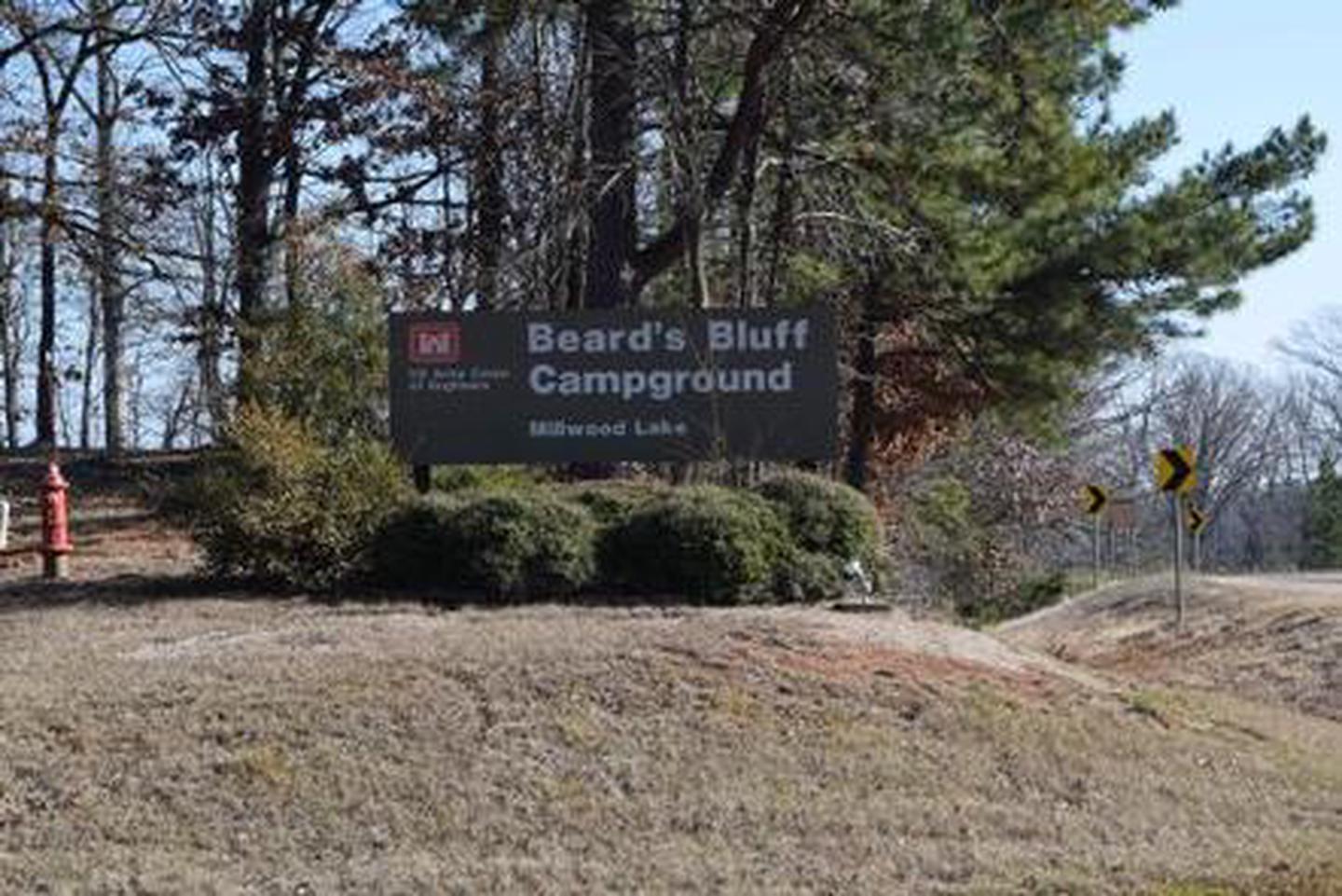
Beard’s Bluff Park is located 13 miles east of Ashdown on State Highway 32. When driving from Ashdown, cross Millwood Dam and take the second left.

Phone

870-388-9556

Activities

BOATING, CAMPING, FISHING, WILDLIFE VIEWING

Keywords

Related Link(s)

Rec Area Info & Images

Arkansas State Tourism

Arkansas State Road Conditions

Overview

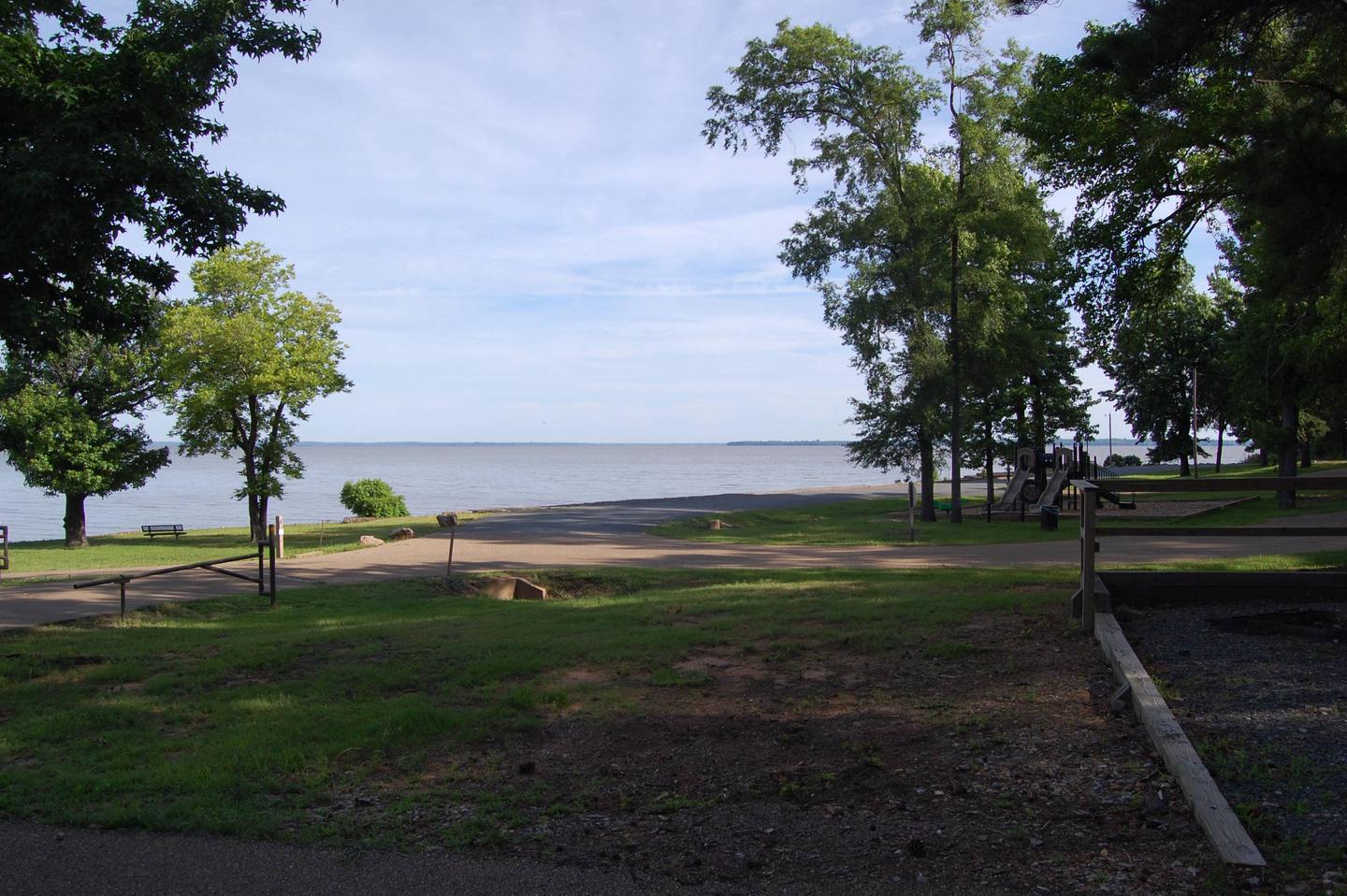
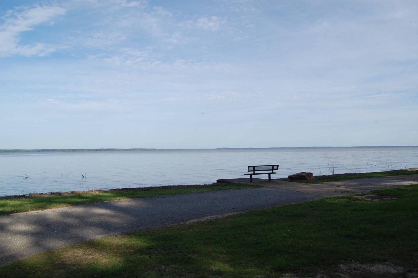
Beard’s Bluff is located 13 miles east of Ashdown on State Highway 32. It is a bird watcher’s paradise with a birding overlook and access to the best sunset viewing on the lake.

Recreation

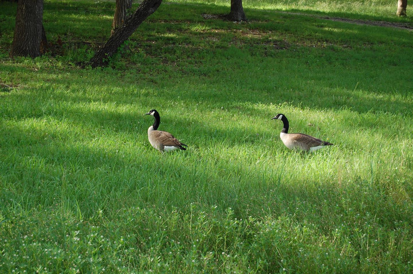
The campground offers open water access to the lake and Little River. The area is made navigable by boat lanes which mark the river and other designated waterways through the lake. Outside of these channels is submerged timber and aquatic vegetation that appeal to anglers and duck hunters alike. Millwood Lake is home to over 300 species of birds including the American Bald Eagle and Great White Pelicans, many of which can be found in the Beard’s Bluff area.

Facilities

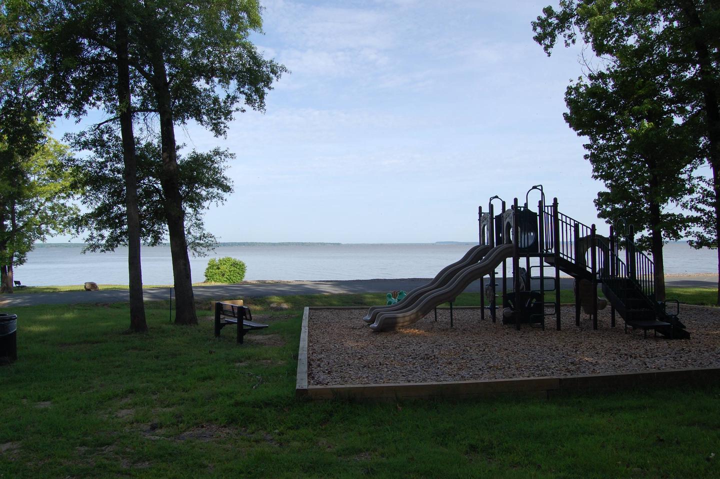
The campground contains lake side campsites as well as those not located directly on the lake but with a lake view. Flush toilets, showers, and potable water are located throughout the campground. The facility also offers one centrally located sewage dump station. Campsites are equipped with picnic tables, grills, fire rings, 30/50 amp electricity, water hydrants, and lantern poles.

Natural Features

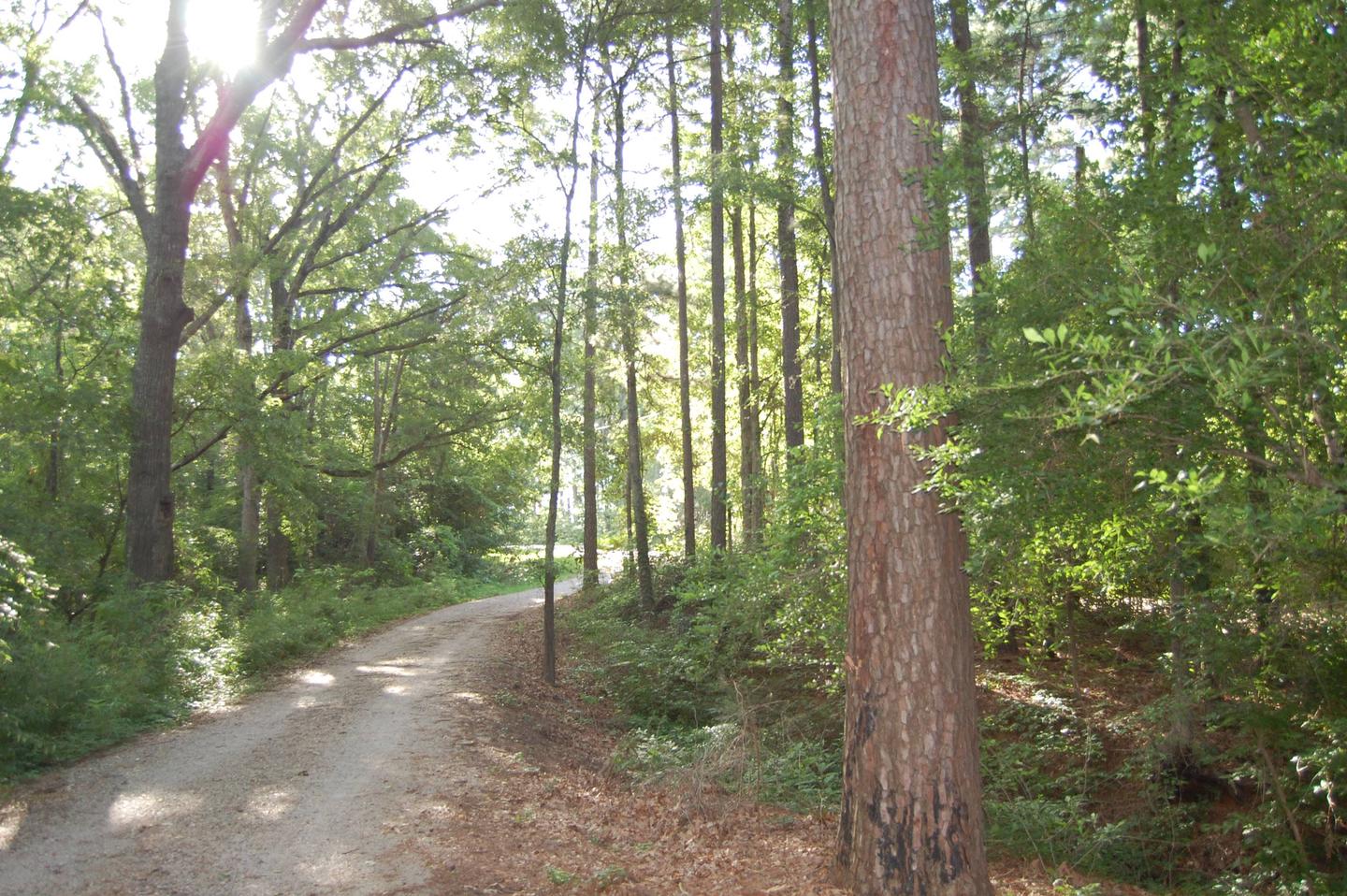
The campground is located directly on Millwood Lake with lake views from most of the campsites. Bluffs overlook the lake and the area is surrounded by a variety of dense forest.

Reservation

More from CampingHiking.net:

BERRY BEND, Missouri Campground Images, Info & Reservations

Listen Directions From Z Highway, travel approximately 2 miles south on the Berry Bend Access Road. Phone 660-438-3872 Activities BOATING, CAMPING, FISHING, HIKING, FISH HATCHERY, SWIMMING SITE Keywords BERR,TRUMAN LAKE,BERRY BEND SOUTH,HARRY S TRUMAN Related Link(s) Rec Area Info & Images Missouri State Road Conditions Missouri State Tourism Overview Berry

SARDINE LAKE, California Campground Images, Info & Reservations

Listen Directions From Sierra City, travel north on Highway 49 for 5 miles. Turn left at Bassett Station on Gold Lake Highway and continue just over a mile to Packer Lake Road and turn left. Continue for about 1 mile and turn left into the campground. Phone (530)478-6253 Activities BOATING,

TETILLA PEAK, New Mexico Campground Images, Info & Reservations

Listen Directions From Albuquerque, New Mexico, take I-25 north to exit 264. Travel west on State Road 16 to the Tetilla Peak Recreation Area/La Bajada Village turnoff and follow the paved road into the recreation area. Phone 505-465-0274 Activities BOATING, CAMPING, FISHING, HIKING, SWIMMING SITE Keywords TPEA,COCHITI LAKE Related Link(s)

SPEARHEAD POINT, Wisconsin Campground Images, Info & Reservations

Listen Directions From Medford, travel north on State Highway 13 for 4 miles, then turn left (west) onto County Road M and continue for 7 miles. Turn right (north) onto County Highway E and continue about 8 miles, then turn right (east) onto Forest Service Road 1563 and continue for