
Directions
From Moab, drive nine miles north on Hwy 191 to the intersection with Hwy 313. Turn west on Hwy 313 and drive eight miles then turn right on the Dubinky Road and go approximately 200 yards to the campground entrance road. Turn right and proceed up a small hill to the site.
Phone
435-259-2100
Activities
BIKING, CAMPING, OFF HIGHWAY VEHICLE, RECREATIONAL VEHICLES, HORSE CAMPING, MOUNTAIN BIKING, OFF ROAD VEHICLE TRAILS
Keywords
Related Link(s)
Overview
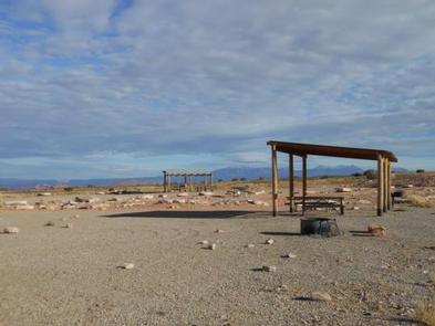
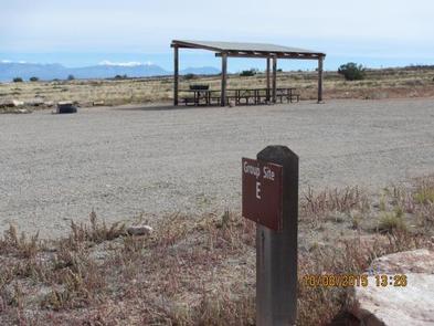
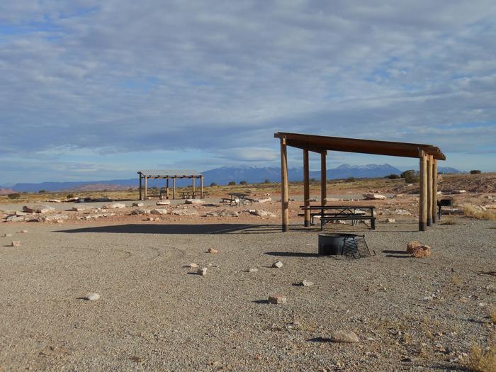
Lone Mesa Group Sites are ideal for large gatherings such as school groups or family reunions. Within close proximity to national parks and open space, outdoor enthusiasts will enjoy hiking, mountain biking, whitewater rafting, and four-wheel drive tours in the surrounding area. Lone Mesa is 1,000 feet higher in elevation than Moab, which can mean slightly cooler temperatures. The town of Moab is approximately 30 minutes away and has dining, shopping, sports rentals, tour companies and museums.
Recreation
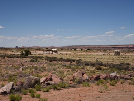
From Lone Mesa there are multiple options for mountain biking, hiking, scenic tours, backcountry off-highway vehicle driving and photography. The area has many four-wheel drive roads leading to canyons and vistas. Nearby Canyonlands and Dead Horse Point State Park have many trails for hiking, biking and OHV driving.
Facilities
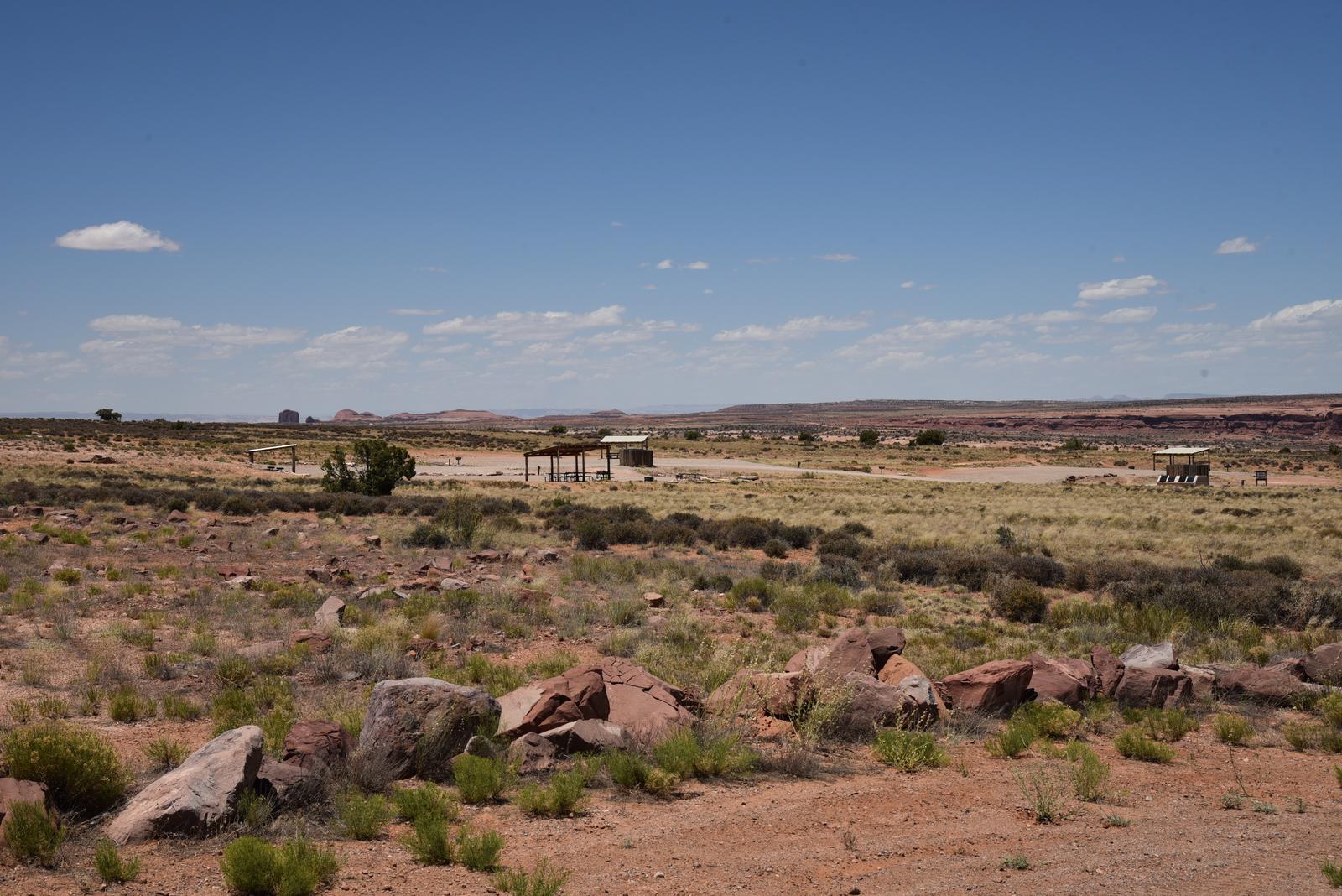
The group areas have fire grates, picnic tables, vault toilets, shade shelters and large parking areas. The group sites do not have water, dump stations or electric hook-ups. Larger vehicles fit well at this site.
Natural Features
The views from Lone Mesa will set you on the path to explore the nearby canyons and mesas. You are close to Arches and Canyonlands National Parks, Dead Horse Point State Park, Gemini Bridges, the White Rim trail and the Green River.
Nearby Attractions
Arches and Canyonlands National Parks, Dead Horse Point State Park, Gemini Bridges Road and trails, and Mineral Bottom (the Green River boat ramp) are all within close proximity. Groups heading into Canyonlands National Park to ride the White Rim trail often use this site for camping before and after their trip. L