
Directions
From the courthouse located in downtown City of Prescott, go northwest on Iron Spring Road. Continue 5 miles past the junction of Gale Gardner Way and Iron Springs Road. Alto Pit is on the right side of the road.
Phone
1 (877) 444-6777
Activities
CAMPING
Keywords
Alto Pit
Related Link(s)
Overview
Alto Pit OHV Campground is located at the foot of Granite Mountain Wilderness Area, at an elevation of 6,200 feet. The off-highway trail system within the recreation area draws enthusiasts of all ages with degrees of skills that prove challenging and enjoyable for everyone alike. To make reservations click on the availability button to the right to book this site or call 1 (877) 444-6777. For general campground questions contact the Bradshaw Ranger District at 1 (928) 443-8000.
Recreation
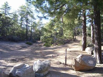
Once an active gravel pit, Alto Pit is now exclusively used for motorized off-road travel. Main Pit is the larger of two gravel pits within the recreation area. West Pit is located a short distance to the southwest of Main Pit. The 20-mile trail system offers challenging rides for advanced recreationists and thrilling rides for beginners.
Facilities
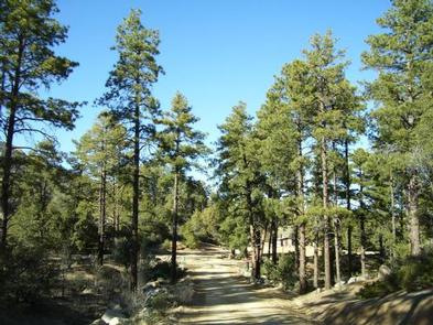
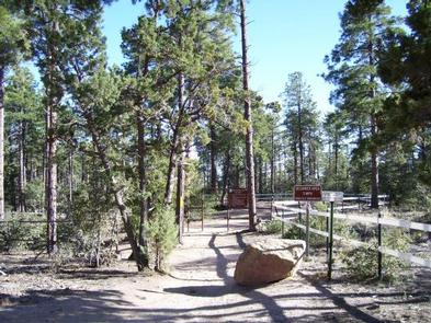
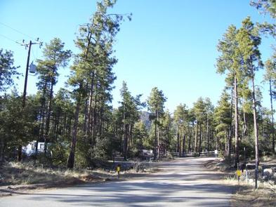
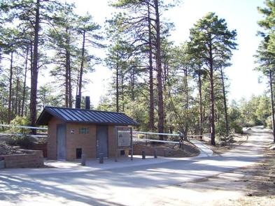
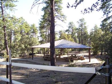
The campground has 10 single occupancy campsites and one double occupancy campsite. Each campsite has a picnic table, campfire ring, and space for a tent. Near the entrance to the facility is a large Ramada. This may be used for group gatherings of up to 50 people. Ten campsite driveways are pull-through, one campsite driveway is back-in, and all have gravel surfaces. Some campsite driveways allow a camp unit (RV or tow vehicle and trailer) and an extra vehicle quite easily, while others may be snug. Services include three vault restrooms and two trash dumpsters. There are no RV hook-ups or dump station in the campground. There is a $5 day-use fee for visitors not camping although day-use is free on Wednesdays.
Natural Features
The rugged landscape that encompasses and surrounds Alto Pit OHV Campground is a nearly perfect setting for off-highway vehicle (OHV) enthusiasts. Granite rock in various stages of degradation is evident and is more pronounced when viewing craggy and rugged Granite Mountain rising abruptly to the north. Predominate vegetation include ponderosa pine, limber pine, oak, manzanita, and a variety of shrubs and grasses.
Nearby Attractions
Granite Basin Recreation Area is located northeast of the Alto Pit OHV Area and just a 15 minute drive away. Granite Basin contains Yavapai Campground, Granite Basin Lake and several day use areas. Visitors enjoy fishing, bird-watching, backpacking, hiking, horseback riding, biking, picnicking, camping, and just plain relaxing. Immediately rising north of Granite Basin Lake is rugged Granite Mountain with a highest point of 6,874 feet within Granite Mountain Wilderness Area. Thumb Butte, at 6,515 feet, rises prominently southeast of Alto Pit OHV Area and can be seen from most anywhere in the Prescott Basin. It is one of the most popular destinations in the Prescott National Forest.