


Directions
Address: 979 Kelletville Road Tionesta, Pennsylvania 16353 From Pittsburgh take I-79 North. Merge onto I-80 East exit 116a toward Clarion for 9.8 miles. Take the PA-8 exits 29 toward Barkeyville. Turn Left onto Pa-8/State Route 8 for 16.4 miles. Turn right on US-62 and follow US-62 for 34 miles. Turn right on Pa-666 for 10 miles. Then take left turn on to Branch Rd for .1 mi and take a left at campground entrance. From Warren travel US-62 south 30 miles turn left onto PA-666 for 10 miles. Then take left turn on to Branch Rd for .1 mi and take a left at campground entrance.
Phone
814-755-3512
Activities
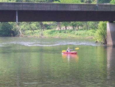
BOATING, CAMPING, FISHING, HIKING, HORSEBACK RIDING, WILDLIFE VIEWING, WILDERNESS, MOUNTAIN BIKING, KAYAKING, CANOEING, SCENIC DRIVE
Keywords
Kellettville Campground
Related Link(s)
Pennsylvania State Road Conditions
Overview
Half of Forest County, where Tionesta Lake is located, is preserved as public lands. The region is known as one of Pennsylvania’s best big game regions and is home to a remarkable variety of wildlife.
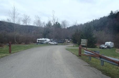
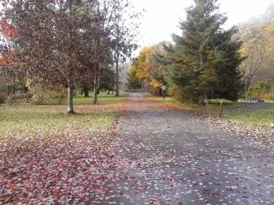
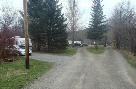
Campers come to the Kellettville Recreation Area Campground to enjoy the forested area along Tionesta Creek. The area is ideal for fishing, hunting as well as scenic hiking.
Tionesta is a culturally rich region with a long history. The Seneca Indian tribe named this area "where the water separates the land." Nearly a century ago, narrow gauge railways dotted the surrounding countryside, hauling out virgin timber from the hillsides.
Recreation
In-season hunting, fishing, hiking canoeing and kayaking, are all available from Kellettville.
Visitors interested in wildlife viewing are likely to spot white-tailed deer, porcupine, wild turkey, osprey and opossum.
Facilities
Each camp site has a picnic table, fire ring and water is available to use, flush toilets and dump station.
Natural Features
Tionesta Lake winds its way through the rugged hills of northwestern Pennsylvania. Surrounding public areas include the Allegheny National Forest, Cooks Forest State Park, Cornplanter and Clear Creek State Forests, the state fish hatchery and state game lands.
Nearby Attractions
Tionesta Creek Road, which winds through the Tionesta Creek valley upstream of the dam, is an excellent scenic drive with spectacular views.
The nearby Allegheny National Forest also makes a great day trip.