
Directions
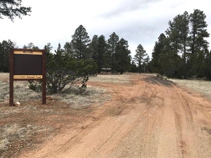
From Flagstaff, Arizona, drive 55 miles south on FH 3 (Lake Mary Road) to AZ 87 at Clints Well. Turn left onto AZ 87. Drive approximately 20 miles to milepost 309.9. Turn left on FR 9717H and drive about one quarter mile to the campground.
From Winslow, Arizona, drive 32 miles south on AZ 87 for approximately 32 miles. Turn right on FR 9717H and drive about one quarter mile to the campground.
GPS Coordinates; 34°42’32.3″N 111°06’09.4″W
Phone
928-477-2255
Activities
CLIMBING, CAMPING, FISHING, HIKING, WILDLIFE VIEWING, PHOTOGRAPHY, MOUNTAIN BIKING, KAYAKING, CANOEING, STAR GAZING
Keywords
Related Link(s)
Overview
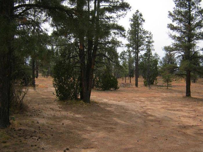
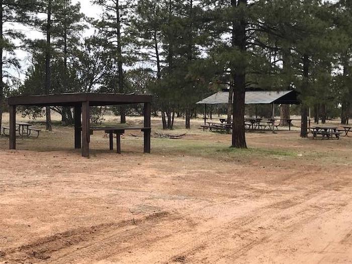
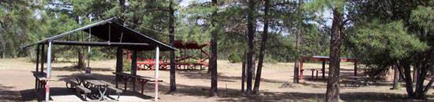
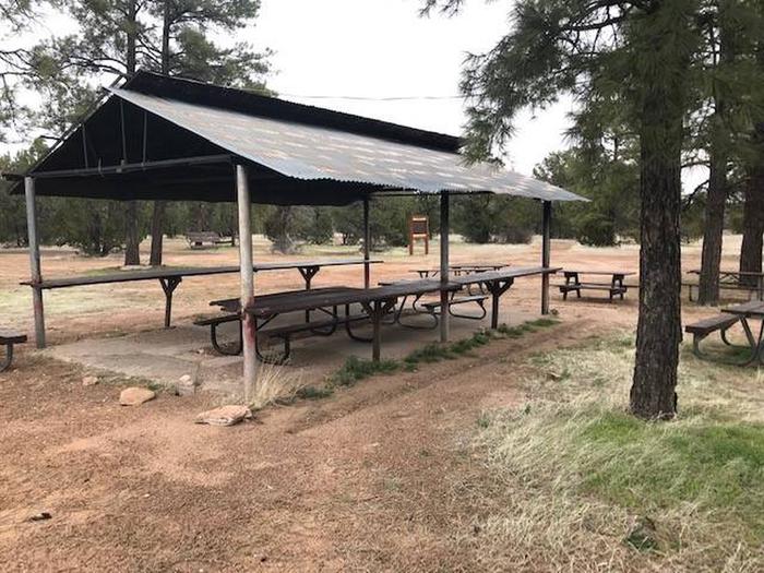
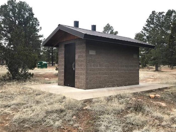
The Elks Group Campground sits among a mix of ponderosa pines and juniper at an elevation of 6,500 feet offering a cool respite from the summer heat of the valley below. This campground facility was designed and constructed by the Winslow Elks Lodge and generously donated to the Mogollon Rim Ranger District. The campground is designed to meet the needs of large groups and can accommodate 300 people, offering picnic tables, grills, and fire pits. There are vault toilets. For every 25 people after the first 50, the group will need to provide additional port-a-pots.
Recreation
Many visitors spend time relaxing and exploring the area. The nearby C.C. Cragin Reservoir and Knoll Lake offers opportunities for water based recreation, while the Arizona National Scenic Trail, General Crook National Recreation Trail, and historic Cabin Loop Trail System offers opportunities for hikers, bicyclist, and equestrian users. There are also several Fire Lookout Towers in the area.
Facilities
The group campground is in a primitive setting on 6 acres. The site has a swing set, horseshoe pit, poles for a volleyball net, flag pole, pavillion, grills, picnic tables, a large fire ring, a 500 gallon water buffalo, trash collection and vault toilets. It is important to know that for every 25 people after the first 50, the group will need to provide additional port-a-pots. The site can accomodate up to 300 people and 50 vehicles.
Natural Features
The campground is in a transition zone where ponderosa pines fade into stands of pinyon and juniper trees. The nearby Mogollon Rim is one of the most striking geologic features in the state. This steep escarpment, measured in thousands of feet, stretches from New Mexico diagonally across two thirds of Arizona and offers sweeping views of the landscape.
Nearby Attractions
The community of Happy Jack, Arizona offers two convenience stores, two restaurants, and a gas station.