

Directions
From I-26 take exit 34 to Main Street (TN107) in Erwin, take TN 395 east for 3.5 miles to Rock Creek Recreation Area.
Phone
423-638-4109
Activities
BIKING, HISTORIC & CULTURAL SITE, CAMPING, FISHING, HIKING, PICNICKING, RECREATIONAL VEHICLES, WILDLIFE VIEWING, FISH HATCHERY, WILDERNESS, DAY USE AREA, PLAYGROUND PARK SPECIALIZED SPORT SITE, SWIMMING, MOUNTAIN BIKING, CANOEING, STAR GAZING, EVENING PROGRAMS, RECREATION PROGRAMS, SCENIC DRIVE, RAFTING, RIVER TRIPS, WHITEWATER RAFTING, BACKPACKING, LOOKOUT TOWER, EMERGENCY SERVICES, MUSEUM
Keywords
Rock Creek Park.
Related Link(s)
Tennessee State Road Conditions
Overview
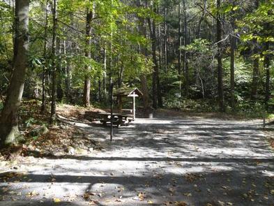
Rock Creek Recreation Area is named for the small creek that runs alongside this recreation site. The facilities, creek-fed concrete pond and bathhouse were originally built by the Civilian Conservation Corps in the early 1930s. It is located just outside the town of Erwin, TN at an elevation of 2,300 feet – a welcome respite from the summer heat.
Recreation
Hike on one (or all) of the trails adjacent to Rock Creek Recreation Area. Visitors can enjoy cooling off in the creek-fed concrete pond. Younger children can enjoy the playground located in the day use area of the recreation area. Campground programs are offered every Friday night in July at the amphitheater.
Facilities
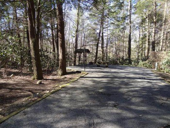
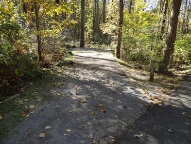
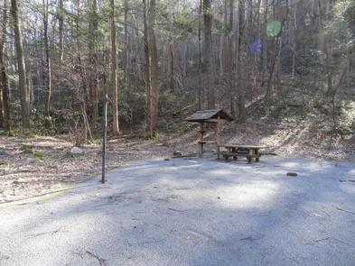
There are 27 fully accessible single and five double campsites in Rock Creek Recreation Area; all with electric hook-ups. In addition, there are five walk-in tent sites without electric hookups, which are available first-come, first served only. Three bathhouses are located within the recreation area; one in Loop A, one in Loop C, and one located by the concrete pond – it is a Civilian Conservation Corps-era bathhouse adapted for modern use. Each bathhouse has flush toilets and shower facilities. A dump station is located on site. An on-site host is located in the campground.
Rock Creek Recreation Area Map
Natural Features
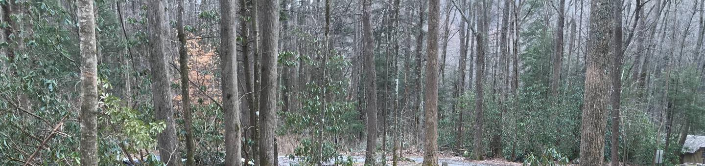
Campsites are nestled in a cove hardwood forest. Adjacent to the campground is Unaka Mountain Wilderness area, a rugged and undeveloped area.
Nearby Attractions
The Appalachian Trail crosses TN 395 at Indian Grave Gap, 3.1 miles east of Rock Creek. Mountain Balds, Beauty Spot and Unaka Mountain Overlook are located nearby along Forest Service Road #230. Whitewater rafting on the Nolichucky River is provided by private companies located in Erwin, TN.