

Directions
Located 5 miles southwest of Globe. Follow Jess Hayes Road southeast of Globe to the junction of Icehouse Canyon Road and Six Shooter Canyon Road. Continue on Ice House Canyon for 3 miles to the junction of Forest Road (FR) 55 and 112. Take the right fork and continue following FR 55 for another 3 miles to the site.
Phone
928-402-6200
Activities
BIKING, CAMPING, HUNTING, WILDLIFE VIEWING, DAY USE AREA, MOUNTAIN BIKING, OFF ROAD VEHICLE TRAILS
Keywords
Related Link(s)
Overview
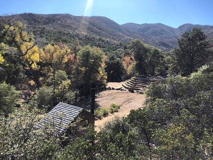
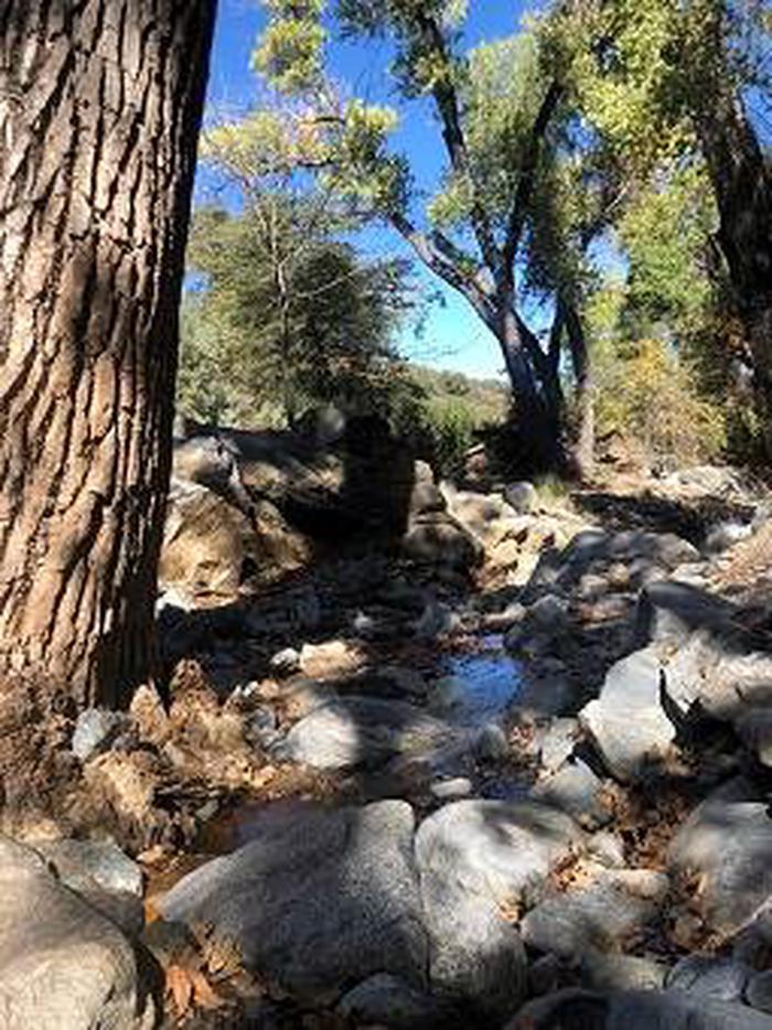
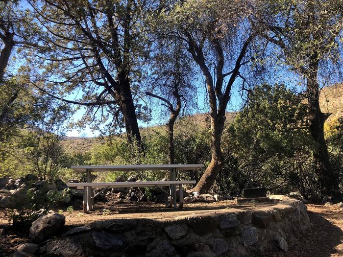
Kellner Group Site is nestled at the base of the beautiful Pinal Mountains south of Globe, Arizona. Several picnic areas are separeted from the larger group area creating a semi-secluded setting. This site’s interesting rock walls and steps were built by the Civilian Conservation Corps. It sits in the riparian area of Kellner Canyon, which frequently has a small stream running through it following winter runoff.
Recreation
Kellner Group Site recreation opportunities include hiking, exploring and wildlife viewing. The Pinal Mountains are considered a “Sky Island” and make for excellent bird watching opportunities. A short seven-mile drive leads to Icehouse Canyon Day Use Area which hosts trailheads for Six Shooter Canyon Trail, Ice House Canyon Trail, Kellner Canyon Trail and the Telephone Trail.
Facilities
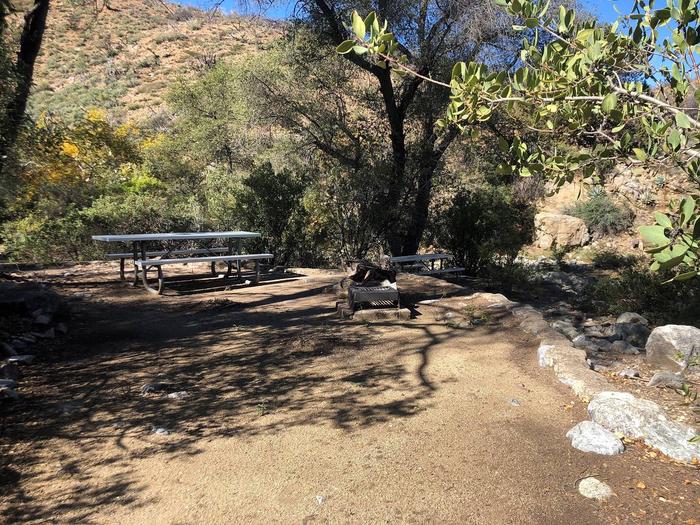
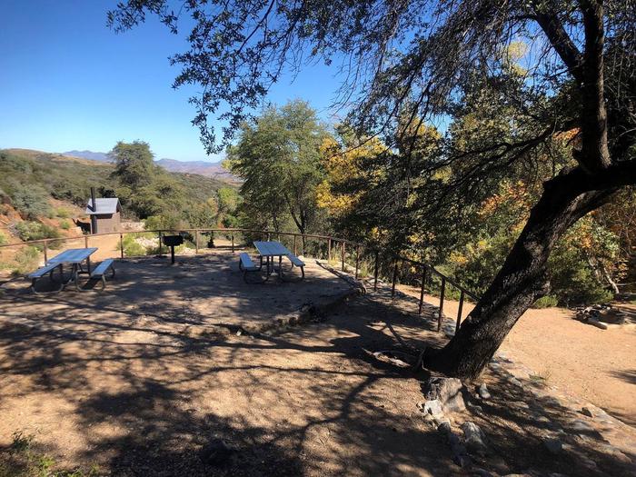
The unique rock walls and steps of Kellner Group Picnic Site were built by the Civilian Conservation Corps in 1940s. The site is at the end of a gated, 3/4 mile long road, giving it privacy and a remote feel. There are five picnic units with tables and grills, one group fire ring, and a vault toilet. The site can accommodate up to 25 people. Due to a small parking area with minimal turnaround room, parking is limited to five vehicles under 20 feet. This site is available for overnight and day use.
Natural Features
Kellner Group Site boasts spectacular views of the Pinal Mountains, which rise 3,500 feet above it. The riparian area and stream host large sycamore and white oak trees which give it shade. Wildlife in the Pinal Mountains includes a large variety of birds, chipmunks, squirrels, coatimundi, and coos whitetail deer. A fire came very close to this area in the spring of 2017 and has affected some of the vegetation.
Nearby Attractions
Kellner Group Site is next to the City of Globe which offers an array of restaurants, as well as antique, grocery, and feed and tack stores. It is roughly an hour’s drive from the Salt River Canyon, where several overlooks allow you to capture the magnificent beauty of “Arizona’s other Grand Canyon.” Roosevelt Lake and the Apache Trail are also within driving reach.