
Directions
From Interstate 5 in Redding, CA, drive 10 miles west on Highway 299. Turn left on Kennedy Memorial Drive at the visitor center and follow it for 1.6 miles until you reach a fork in the road at the dam. Turn left on Paige Bar Road and drive for two miles until you reach another fork in the road at the NEED Camp. Turn left onto the gravel road and proceed .5 miles to Horse Camp.
Phone
530-242-3412
Activities
CAMPING, HIKING, HORSEBACK RIDING, HUNTING, MOUNTAIN BIKING, GOLD PANNING
Keywords
Related Link(s)
California State Road Conditions
Overview
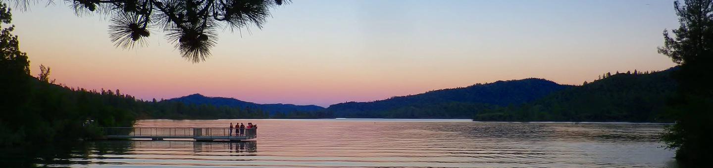
This campground is located in the southeast corner of Whiskeytown National Recreation Area, 15 miles west of Redding, California, and three and a half hours north of Sacramento. This is the only campground in the park that can accommodate camping with horses, but horseback riders must share the campground with visitors who may not have horses.
The cool, clear waters of Whiskeytown Lake provide endless water activities. The picturesque mountain setting and extensive forested backcountry offer ample opportunities for horseback riding, hiking and biking.
Recreation
During the summer heat, swimming, kayaking, sailing, paddle boarding and water skiing are popular on the 3,200 acre lake. Year round, hiking, mountain biking, horseback riding, gold panning, fishing and picnicking attract visitors. Hunting is allowed in the appropriate season.
Facilities
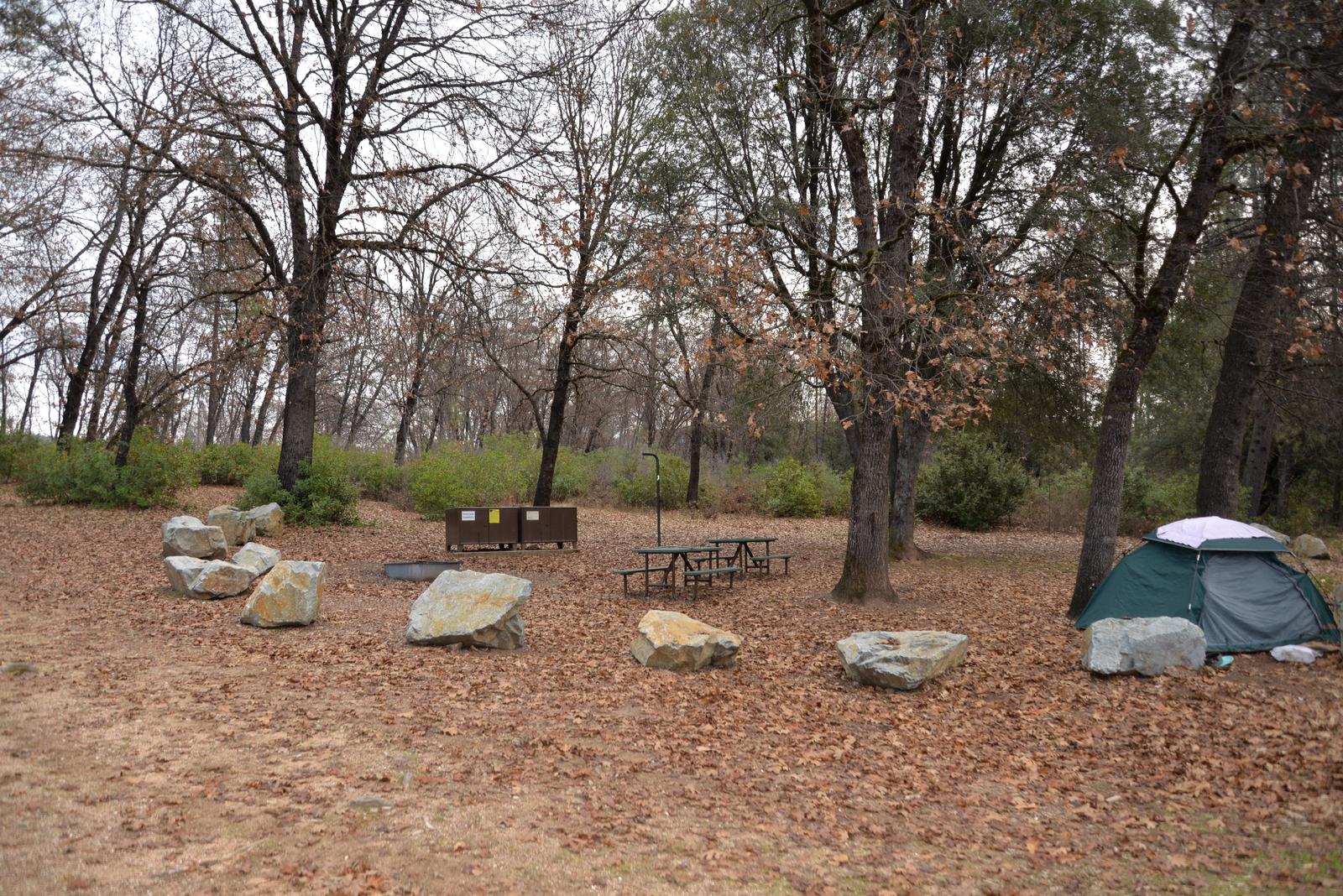
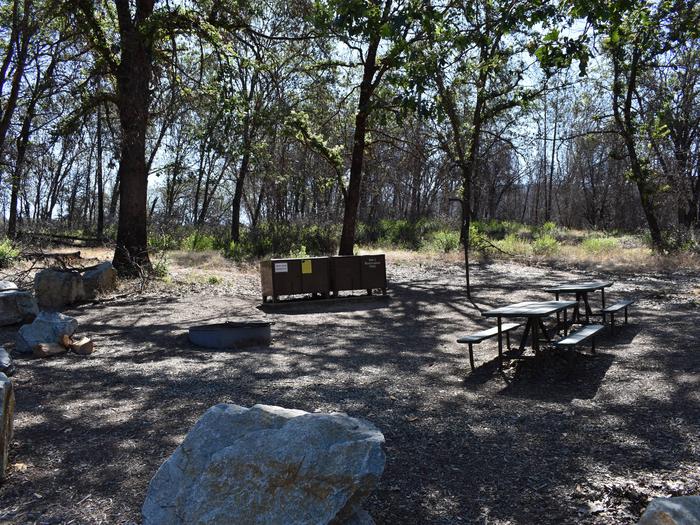
Horse Camp can accommodate any vehicle or combination of vehicles, including trailers, RVs and RVs pulling other vehicles. Overflow parking is available. Each campsite is equipped with two picnic tables, two large bear-resistant storage lockers, a metal fire pit with a swing-arm barbecue grill and a lamp pole. The two campsites share a vault toilet. A hand pump provides potable water when available. There is no electricity at the site.
There are no corrals, hitching posts or troughs at the site. Horses must be high-lined or tethered to trailer.
Natural Features
Whiskeytown National Recreation Area is located where the Klamath Mountains, Cascade and Coast Mountain Ranges, and the Sacramento Valley meet, creating a wide variety of wildlife and landscapes. Foothill pines lightly shade Horse Camp.
Nearby Attractions
Brandy Creek Beach is located five and a half miles from the campground and features sandy beaches, a large swimming area, picnicking and barbecuing facilities. From Memorial Day through Labor Day, there are showers, a store with food and supplies and rentals of paddle boards and kayaks.