
Directions
From Interstate 5 in Redding, CA, drive 10 miles west on Highway 299. Turn left on Kennedy Memorial Drive and follow it for 5.4 miles to Brandy Creek Road. Turn left and follow Brandy Creek Road for 1.2 miles to the entrance to the campground on the right-hand side of the road. Site #1 will be immediately to the left. Site #2 will be to the right down the driveway.
Phone
530-242-3412
Activities
BIKING, BOATING, CAMPING, FISHING, HIKING, SWIMMING SITE
Keywords
Related Link(s)
California State Road Conditions
Overview
This campground is located in Whiskeytown National Recreation Area,19 miles west of Redding, California, and three and a half hours north of Sacramento. You can hear the waters of Brandy Creek from each campsite. Brandy Creek Trail passes nearby the campground and leads to a lovely series of waterfalls.
The cool, clear waters of Whiskeytown Lake provide endless water activities. The picturesque mountain setting and extensive forested backcountry offer ample opportunities for hiking and biking.
Recreation
During the summer heat, swimming, kayaking, sailing, paddle boarding and water skiing are popular on the 3,200 acre lake. Year round, hiking, mountain biking, horseback riding, gold panning, fishing and picnicking attract visitors. Hunting is allowed in the appropriate season.
Facilities
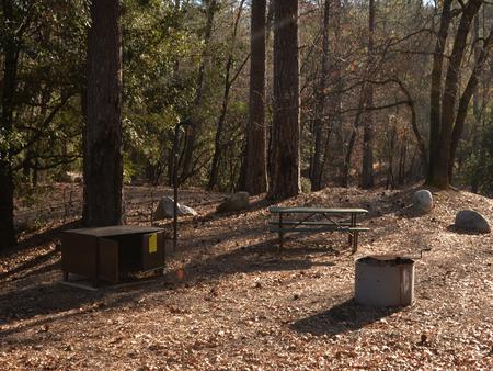
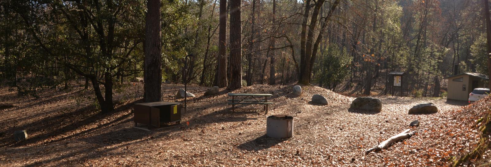
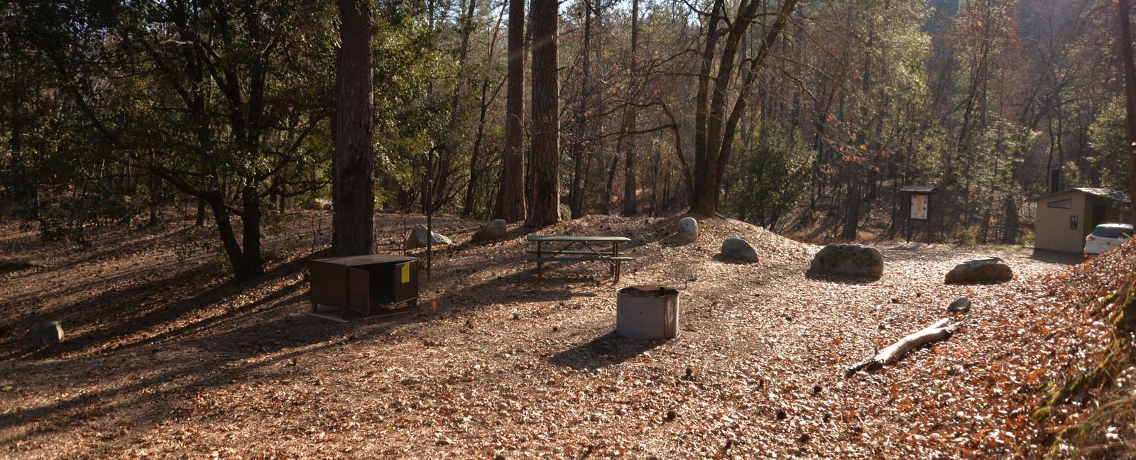
Each campsite is equipped with a picnic table, a large bear-resistant storage locker, a metal fire pit with a swing-arm barbecue grill and a lamp pole. Each campsite has its own vault toilet. Drinking water and electricity are not available.
Brandy Creek may accommodate any vehicle or combination of vehicles, including trailers, RVs, and RVs pulling other vehicles that do not exceed 25 feet in length. No overflow parking is available.
Natural Features
Ponderosa pines, black oaks and firs skirt the edges of this sunny clearing above Brandy Creek.
Whiskeytown National Recreation Area is located where the Klamath Mountains, Cascade and Coast Mountain Ranges, and the Sacramento Valley meet, creating a wide variety of wildlife and landscapes.
Nearby Attractions
Brandy Creek Beach is located two miles south of the campground and features sandy beaches, a large swimming area, picnicking and barbecuing facilities. From Memorial Day through Labor Day, there are showers, a store with food and supplies and rentals of paddle boards and kayaks.