

Directions
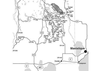
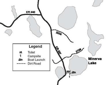
From Cooks (about 12 miles west of Manistique or 24 miles east of Rapid River on US-2) drive north 4.4 miles on County Road 442 to CR 437. Turn left (north) on CR 437 and drive 14.4 miles to FR 2767. Turn right (east) and drive 0.25 mile to the campsite. The access road crosses a short, steep hill and is narrow, but still capable of handling moderate sized vehicles.
Phone
906-474-6442 OR 906-387-2512
Activities
CAMPING
Keywords
Dispersed campsites,Manistique,Rapid River,lyman lake,swan lake,bass lake,bear lake,camp cook,carr lake,chicago lake,clear lake,crooked lake,east lake,gooseneck lake,ironjaw lake,jackpine lake,lake nineteen,leg lake,little bass lake,minerva lake,mowe lake
Related Link(s)
Michigan State Road Conditions
Overview
The campsites on the Rapid River/Manistique Ranger District are located on inland lakes and are in a rustic forest environment with few, if any amenities. The rustic environment offers a wonderfully serene and peaceful setting for your next camping experience.
Recreation
Visitors will be able to enjoy swimming, berry picking, and fishing at these campsites. Licenses are required for fishing in Michigan waters. Some of these campsites offer only one site on these inland lakes allowing for a very peaceful and wilderness-like experience.
Facilities
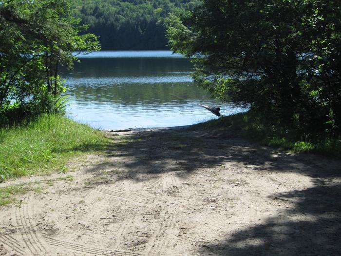
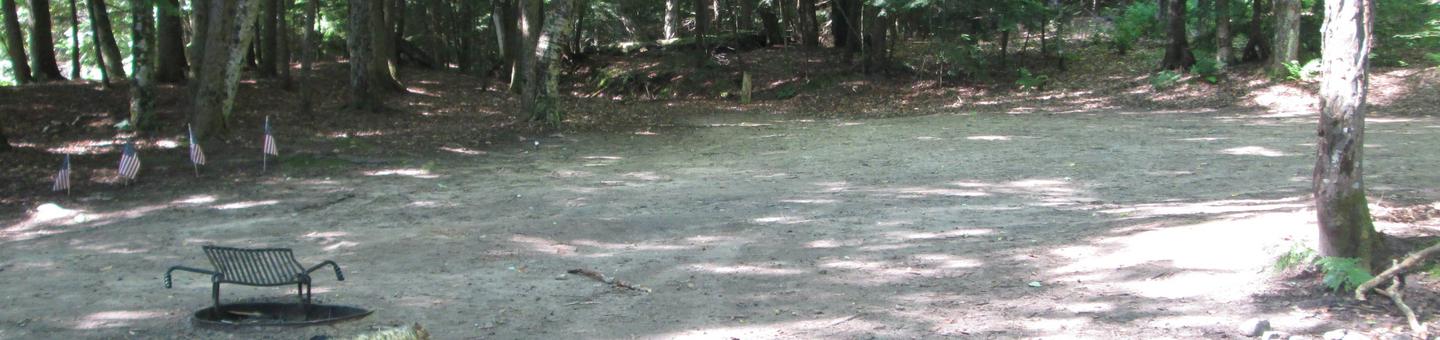
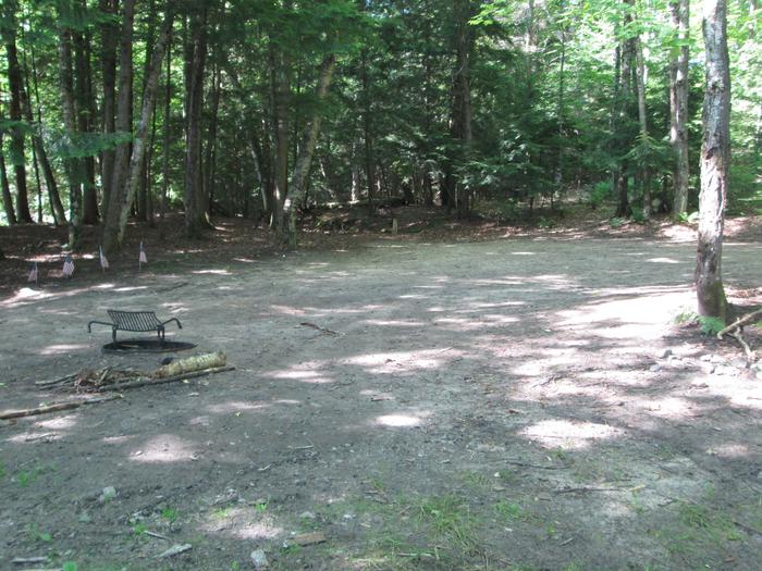
The 45 acre Minerva Lake contains largemouth bass and perch. The lake has always enjoyed a good reputation for fishing. No primitive toilet or drinking water are available at this site. There is one primitive campsite located on Minerva Lake. It is located in a small, semi-open area bordered by hardwood trees and hemlocks. It is 40 ft. by 30 ft. and suitable for one family and tents or small trailers due to limited turn around space. Swimming at Minerva Lake is considered to be poor. There is an improved, day use boat access located adjacent to the campsite. It has a gravel base and is recommended for small boats and trailers only. Parking is limited. Gasoline, groceries, fishing and camping supplies, ice and deli are available approximately three miles south on County Road 437 in the Thunder Lake area. Lake Name Number of Sites Maximum number of people per site Toilets Boat Access Lake Size (acres) Minerva Lake 1 8 No Back In 45
Natural Features
All of these sites are nestled in hardwood trees and pines. All of them are on small inland lakes, which offer a wide variety of fishing opportunities. There is one exception; Camp Cook, which is close to the Fishdam River and provides opportunities for good brook trout fishing.
Nearby Attractions
There are a number of horse, bike, and hiking trails within minutes of several of the sites. In over a mile from these campsites, visitors can expect to find: bait shops, general and grocery stores, gas, a pay phone, trailheads, a fishing pier, biking, and kayak/canoe rentals.