
Directions
Campground is at the end of Big Creek Entrance Rd. Waterville, NC, 28785 (Haywood County)
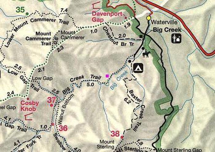
The campground is located off I-40 Exit 451 (Waterville). It sixteen miles east of Newport, TN. Follow Waterville road, crossing over the Pigeon River, past the Walters Power Generating Station and continue one mile to the 4-way intersection at Mt Sterling Gap.
Follow the signs to Big Creek. GPS coordinates are 35°45’00.3″N 83°06’38.6″W
The 4 way intersection is composed of Big Creek Campground Road and Waterville Rd (from I-40) + Mt. Sterling Road (from Cataloochee) + Hwy 32 (from Cosby)
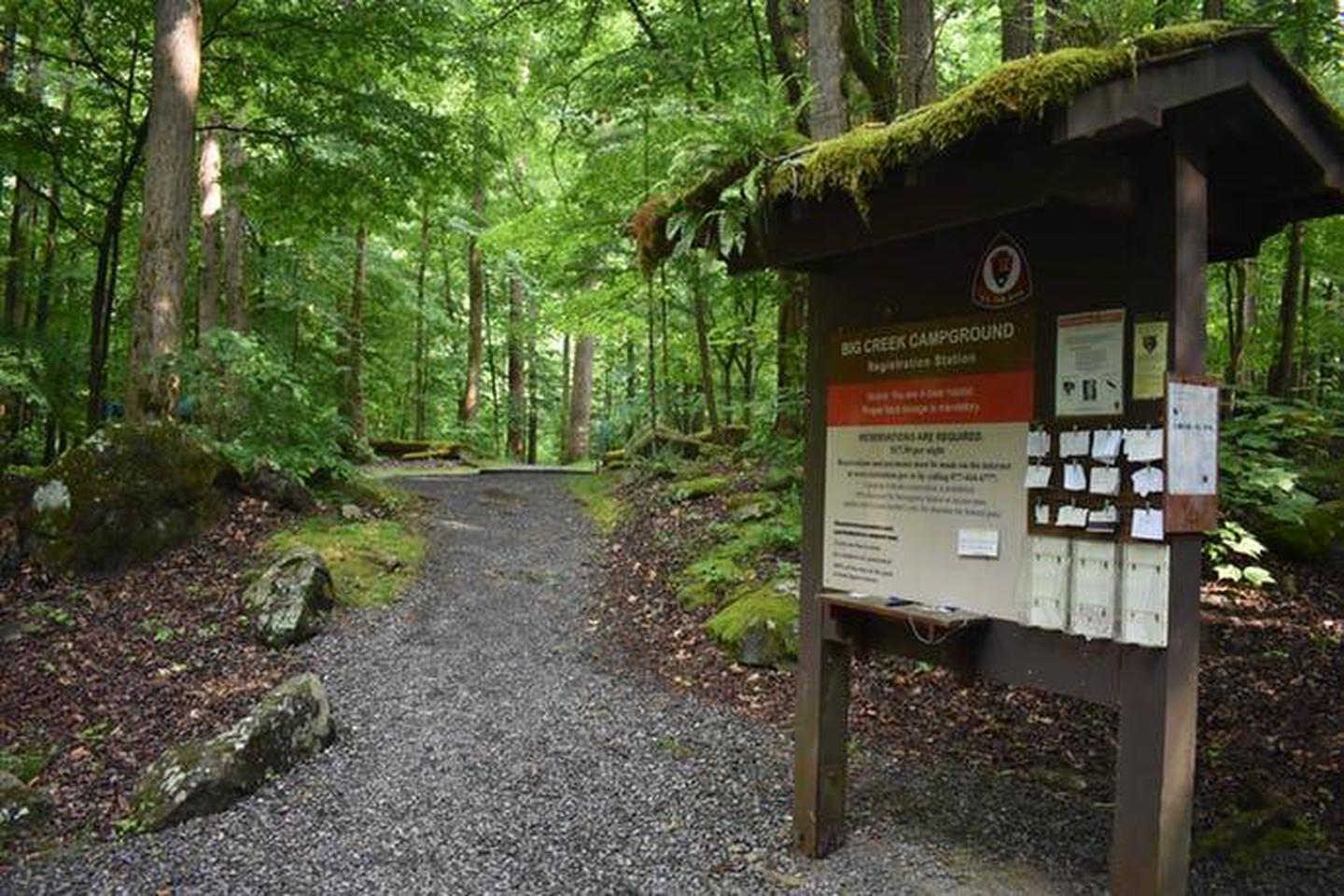
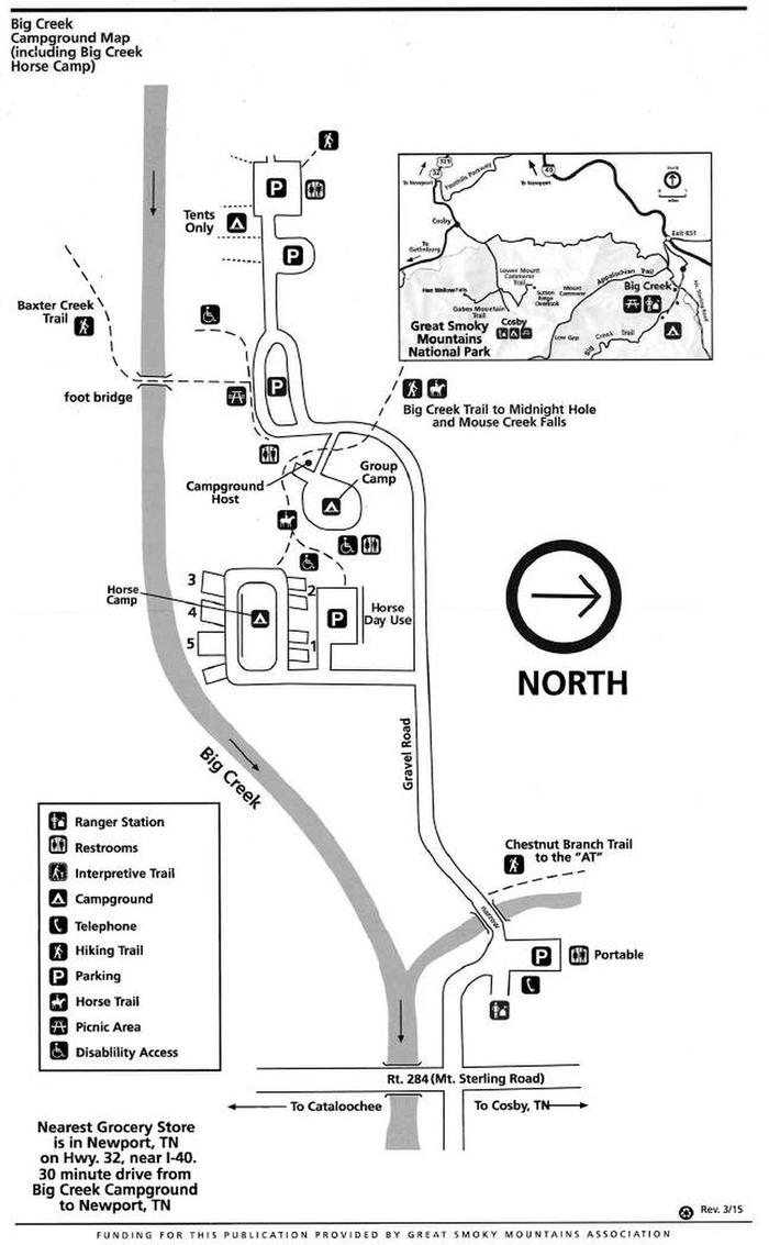
Drive up to the end of Big Creek Entrance Road. You will pass the Ranger Station, horse camp, group camp, and hiker parking.
Phone
865-436-1261
Activities
BOATING, CAMPING, FISHING, HIKING, VISITOR CENTER, WATER SPORTS, WILDLIFE VIEWING
Keywords
Related Link(s)
Tennessee State Road Conditions
Overview
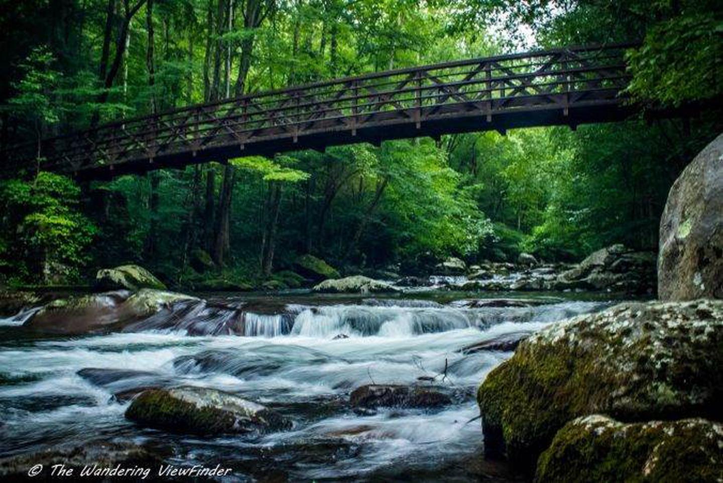
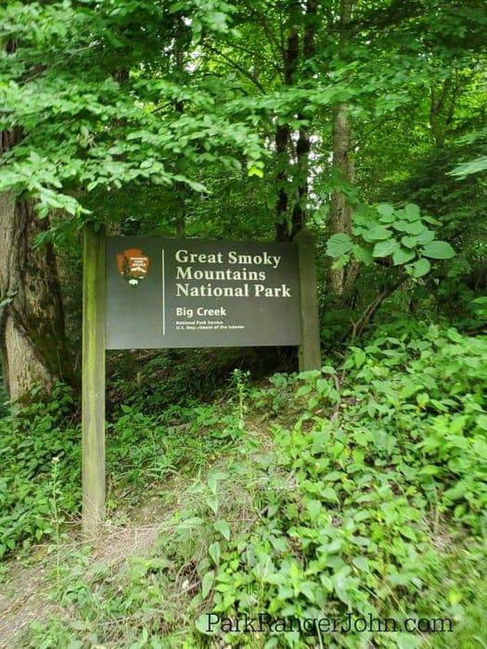
Big Creek Campground is located in a remote portion of Great Smoky Mountains National Park. Backcountry camping in a front country setting. There are flushing toilets and potable water. This is a tent only campground with a short walk from the parking area. The beautiful flowing waters of Big Creek parallel the campground offering the visitor a pleasant soundscape and peaceful beauty. Big Creek is an oasis for hiking, swimming, wildlife, fishing, and relaxation.
Recreation
Great Smoky Mountains National Park is a hiker’s paradise, with over 800 miles of maintained trails ranging from short, leg-stretchers to strenuous treks. The Big Creek area offers some of the most challenging hikes within the Park. Baxter Creek trail begins near the campground and with an elevation gain of 4200′ from trail head to the summit of Mt Sterling provides a strenuous work out for the strongest of hikers. The nearby Big Creek trail offers a pleasant hike along the waters of Big Creek with a beautiful waterfall along the way.
Local anglers agree that Big Creek offers some of the best trout fishing in the area. Fly fishing is particularly good during spring months when aquatic insects hatch in large numbers. Wildlife viewing is a popular pastime, and with around 1,500 black bear living in the park, it is not uncommon for visitors to spot one. The park is a sanctuary for a magnificent array of animal and plant life, all of which is protected for future generations to enjoy.
Facilities
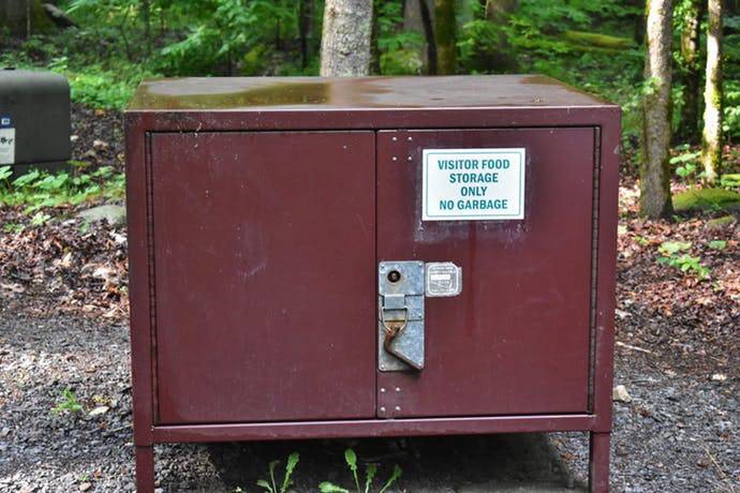
Big Creek Campground offers 12 TENT ONLY campsites for a traditional outdoor camping experience with the added convenience of flush toilets and drinking water. There are no hookups or showers at the campground. There is an emergency phone available at the Big Creek Ranger Station located 1 mile from the campground. No generator use or recreational vehicles are allowed in Big Creek Campground. There is a food storage locker available for public use.
Natural Features
Located at an elevation of 1,700′ Big Creek Campground is surrounded by picturesque mountain ranges and a pristine mountain stream. Black Bear sightings are not uncommon and some lucky visitors may spot River Otter playing in Big Creek.
Nearby Attractions
Nearby attractions include the Cataloochee Valley, Newport, TN, Cosby Campground, Hartford Whitewater Rafting, the Appalachian Trail and the Max Patch/Pisgah National Forest.