

Directions
From Lake Havasu City, this campground is about 45 minutes south of town. Visitors will need to drive over the Parker Dam onto the California side of the Colorado River. (Note: Oversized vehicles and vehicles towing trailers are not permitted to cross the dam.) Located about 9 miles south of the Parker Dam on the California side of the Colorado River turn left at the BLM sign.
From Parker, drive north across the bridge over the Colorado River and turn right. Crossroads Campground will be 7 miles ahead on your right.
Phone
(928) 505-1200
Activities
CAMPING
Keywords
Related Link(s)
Overview
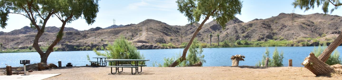
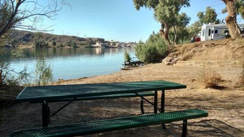
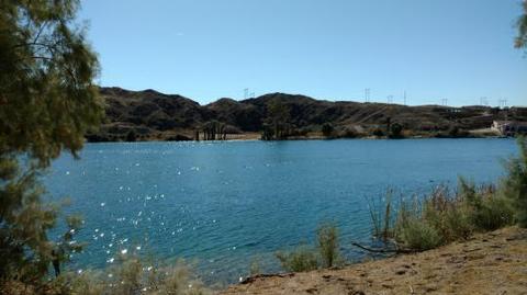
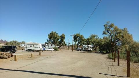
Crossroads Campground is located on the riverfront of the beautiful Lower Colorado River. This campground is popular with winter visitors looking to enjoy the warm winter temperatures and relax on the riverfront. This campground has great access to fishing, boating and off-roading.
Recreation
The Lower Colorado River offers excellent boating, fishing, canoeing and swimming opportunities. The campground provides river front views and a beach.
Just follow the Parker Dam Road Scenic Backcountry Byway to various recreation sites along the river. The Rock House Visitor Center and Boat Launch are within a mile of the campground, and offers information and a free boat launch open year-round.
Other popular activities in the Parker Strip Recreation Area include hiking, biking, rock hounding and off-road vehicle travel.
Facilities
This small campground contains individual campsites and one accessible campsite. All of the sites are dry camping (no water) and provide a picnic table and grill.
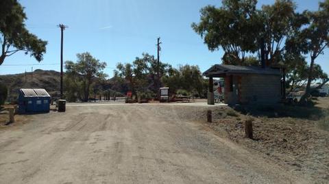
One vault toilet is available. There is a Campground Host available to answer questions.
Natural Features
The campground is situated on the shoreline of the Lower Colorado River. The river runs through a backdrop of steep rocky terrain, and wind shaped sand dunes. The area is teeming with wildlife, especially fish, migratory birds and small mammals.
Nearby Attractions
The Copper Basin Dunes and Crossroads Off- Highway Vehicle Open Areas offer miles of off-road adventures. Rock hounders enjoy hiking and driving through the area to search for unique rocks.
Rock House Visitor Center has a free boat launch and a visitor center stocked with brochures and information about the area.