


Directions
From Maupin, Oregon: On the east side of the Deschutes River drive either direction on the Deschutes River Access road.
Phone
541-416-6700
Activities
AUTO TOURING, BIKING, BOATING, HISTORIC & CULTURAL SITE, CAMPING, FISHING, HUNTING, PICNICKING, DAY USE AREA, PHOTOGRAPHY, PADDLING, WATER ACTIVITIES
Camping Reservations
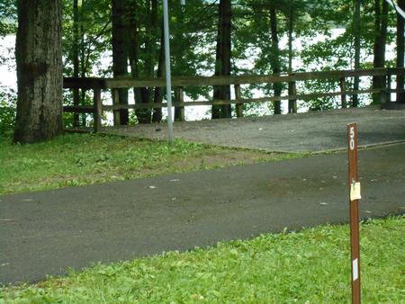
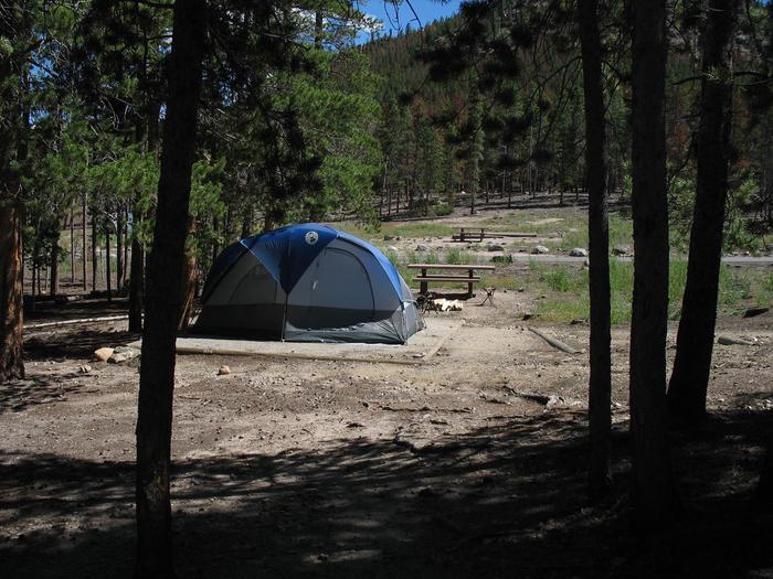
Reserve your campsite at these camping areas:
Hiking Trails
Looking for nice hiking areas to take a hike? Choose from these scenic hiking trails:
Related Link(s)
Lower Deschutes River Flickr Album
Lower Deschutes Boater Pass Information
Learn more about the Deschutes Wild and Scenic River
Lower Deschutes River Back Country Byway
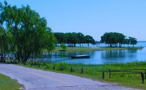
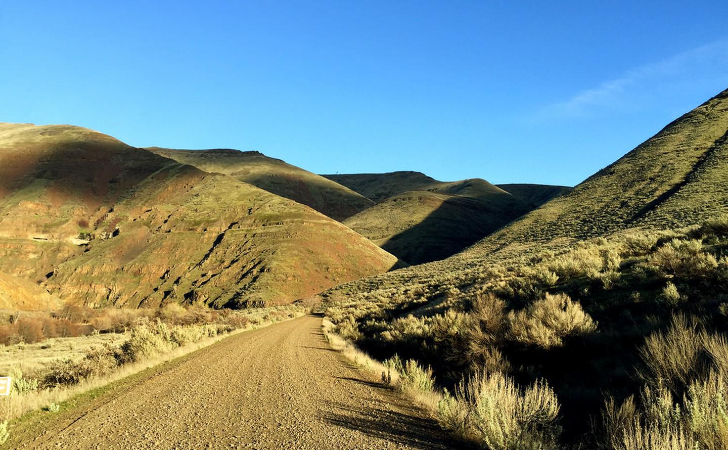
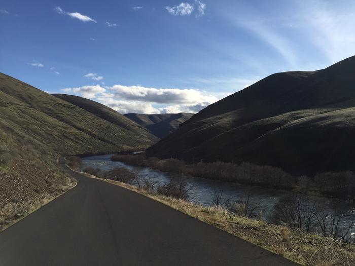
Spanning 32 miles along the east bank of the Lower Deschutes Wild and Scenic River, this back country byway offers close-up views of rapids and steep canyon country. Twelve paved miles originate from the hamlet of Maupin and connect to state highway 216 near Sherar™s Falls. The remainder of the byway is surfaced with high-standard gravel, suitable for passenger vehicles. Twenty-two developed recreation sites offer year-round river access including 4 boat launches, 7 day-use areas, and 10 campgrounds with 140 individual campsites and 21 group campsites. The byway terminates to the south at Locked Gate Day-Use Area and to the north at Macks Canyon Campground.
Know Before You Go:
- Cell phone service is limited or not available in most locations along the back country byway.
- Watch for bicyclists: portion of the paved section of road is a segment of Sherar’s Falls Scenic Bikeway
- Boater Passes are required year-round, for both day and overnight use, for anyone using a watercraft or any other floating device as a means of transport on the Lower Deschutes River. See the Boater Pass link elsewhere on this page for further information.
-
- Developed recreation sites along the back country byway are available on a first-come, first-served basis.
- Locked Gate Day-Use Area
- Nena Day-Use Area
- Devil’s Canyon Campground
- Long Bend Campground
- Harpham Flat Campground
- Wapinitia Day-Use Area
- Section Foreman’s House Historic Site
- Oasis Campground
- Grey Eagle Day-Use Area
- Blue Hole Campground
- Lower Blue Hole Day-Use Area
- Oak Springs Day-Use Area
- Surf City Day-Use Area
- White River Campground
- Sandy Beach Day-Use Area
- Buckhollow Day-Use Area
- Pine Tree Day-Use Area
- Twin Springs Campground
- Oakbrook Day-Use Area
- Jones Canyon Campground
- Beavertail Campground
- Rattlesnake Canyon Campground
- Macks Canyon Campground
Recreation and Cultural Sites South of Maupin, Oregon (ordered south to north)Recreation and Cultural Sites North of Maupin, Oregon (ordered south to north)
Point of Interest:
Much of the back country byway was a former railbed, one of two whose owners feverishly competed for completion in the early 19th century. Today, the historic Section Foreman’s House remains alongside the road just south of Maupin. Open seasonally, the building is restored to historically-authentic condition and offers interpretive displays and general river information.