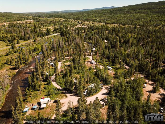
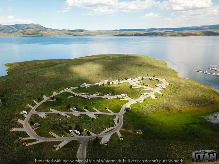
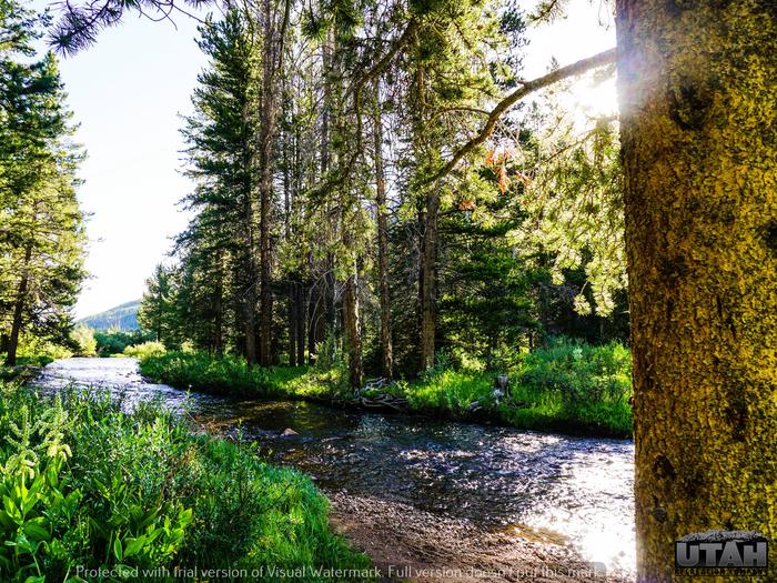
Activities
AUTO TOURING, BIKING, BOATING, CAMPING, INTERPRETIVE PROGRAMS, FISHING, HIKING, HORSEBACK RIDING, OFF HIGHWAY VEHICLE, PICNICKING, RECREATIONAL VEHICLES, WILDLIFE VIEWING, SWIMMING, HORSE CAMPING
Uinta-Wasatch-Cache Camping Reservations
Reserve your campsite at these camping areas:
ALBION BASIN >> Camping Area
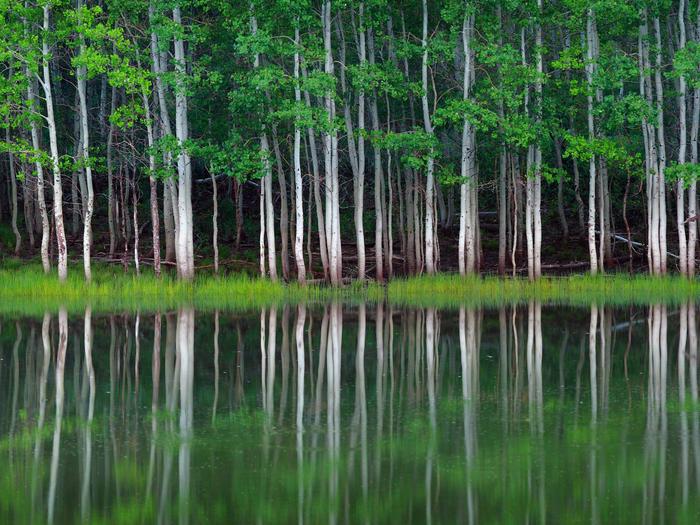
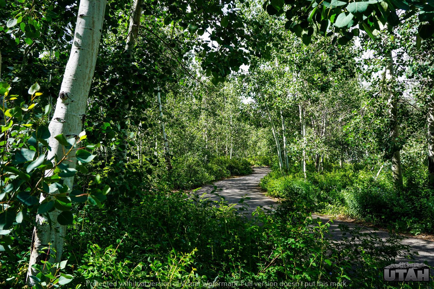
Albion Basin Campground, just 15 miles from Sandy, Utah, is set among shady white pines and aspens in its beautiful namesake basin in Little Cottonwood Canyon at an elevation of 9,500 feet.
ALTAMONT >> Camping Area
 Altamont Campground is located along the beautiful Alpine Loop Scenic Byway high in the Wasatch Mountains. The Mount Timpanogos Wilderness Area is adjacent. Visitors enjoy hiking the nearby Timpooneke Trail to the summit of Mount Timpanogos.
ANDERSON COVE >> Camping Area
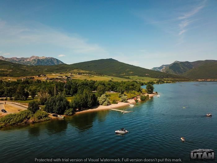 Anderson Cove Campground is a popular facility located 10 miles east of Ogden, Utah, on the banks of Pineview Reservoir in scenic Ogden Valley. Visitors enjoy boating, fishing and swimming.
ASPEN GROVE >> Camping Area
 Aspen Grove Campground is located near Soldier Creek Dam above the Soldier Creek section of beautiful Strawberry Reservoir. Visitors flock to Strawberry for its excellent fishing, boating and trail opportunities.
BALSAM >> Camping Area
Balsam Campground is located on the banks of pretty Hobble Creek just 12 miles from Springville, Utah, at an elevation of 6,000 feet. Visitors enjoy fishing and exploring local trails.
BEAR CANYON >> Camping Area
 Bear Canyon Campground is situated on the boundary of the Mount Nebo Wilderness Area just off the Nebo Loop Scenic Byway at an elevation of 6,800 feet. Visitors enjoy hiking and fishing in this quiet canyon.
BLACKHAWK >> Camping Area
 Blackhawk Campground sits just off the Nebo Loop Scenic Byway at an elevation of 8,000 feet. Visitors enjoy the campground for its beautiful panoramic views and great trail opportunities. Numerous hiking, biking and horseback riding trails crisscross the area, including Blackhawk and Loafer Mountain Trails. Trailheads for each are located within the campground.
BLACKSMITH FORK GUARD STATION >> Camping Area
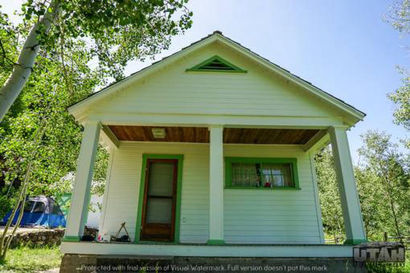
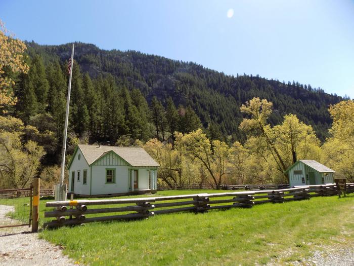 Blacksmith Fork Guard Station is located in the Cache National Forest, approximately 11 miles east of Hyrum, in northern Utah. The Guard Station was constructed by the Civilian Conservation Corps in 1934 as part of the New Deal Program. Early Forest Service stations were typically spaced a "days ride by horseback" from each other. The Uinta-Wasatch-Cache National Forests has decided to rent the cabin to the public so visitors can enjoy a rustic experience similar to that of early Forest Rangers and their families.
BOX ELDER CAMPGROUND >> Camping Area
 Box Elder Campground is situated next to the town of Mantua and Mantua Reservoir in a pretty mountain valley just 5 miles from Brigham City, Utah. Visitors enjoy boating, fishing and exploring area trails.
BOY SCOUT >> Camping Area
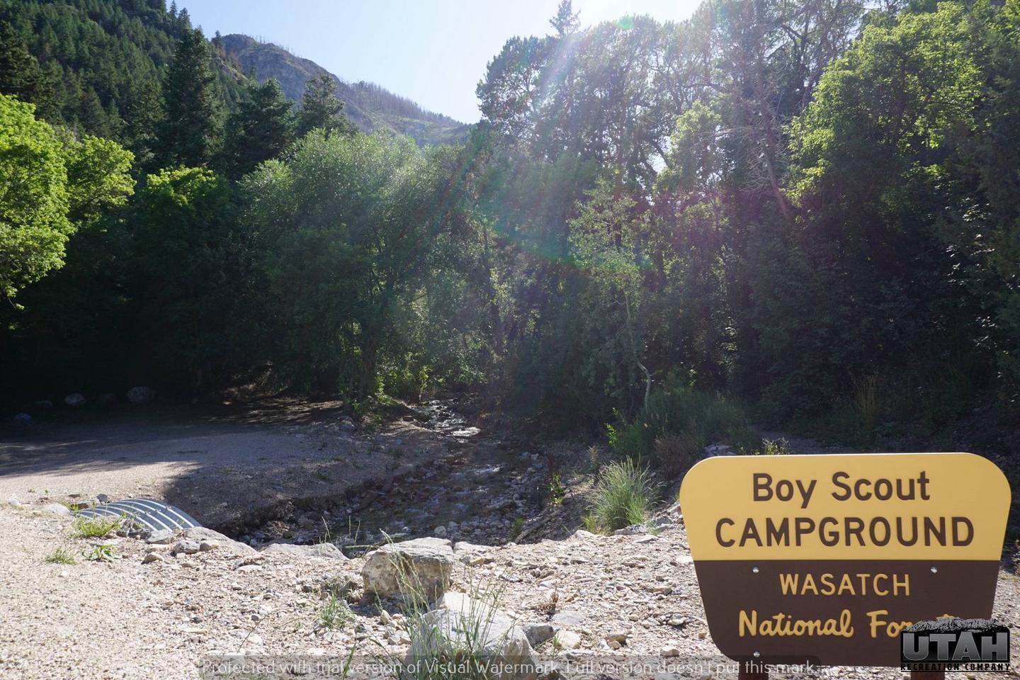 Boy Scout Campground is located southwest of Grantsville, Utah, in South Willow Canyon at an elevation of 6,320 feet. Visitors enjoy exploring local trails.
CHRISTMAS MEADOWS CAMPGROUND >> Camping Area
 Christmas Meadows Campground is located just a few miles off the Mirror Lake Scenic Byway, 36 miles from Evanston, Wyoming. The byway cuts through the Uinta Mountains, which are known for their abundant recreational opportunities and scenic beauty.
CURRANT CREEK >> Camping Area
 Currant Creek Campground sits next to Currant Creek Reservoir at an elevation of 8,000 feet. A wide variety of recreational activities awaits, including boating, fishing and hiking.
DIAMOND >> Camping Area
 Diamond Campground is located among shady cottonwoods and willow at an elevation of 5,200 feet. The family sites are located just 15 miles from Spanish Fork and the group sites are 2-3 miles further. Visitors enjoy exploring local trails and relaxing along the stream.
DOGWOOD DAY USE >> Camping Area
 Dogwood Day Use Picnic Area is just 2 miles up Big Cottonwood Canyon, conveniently close to Salt Lake City. Big Cottonwood Creek runs alongside the site. Visitors enjoy fishing, hiking and biking.
15. GRANITE FLAT (UTAH) >> Camping Area
 Granite Flat Campground is located a short distance up scenic American Fork Canyon, less than a mile from Tibble Fork Reservoir. Visitors enjoy fishing, canoeing and exploring local trails.
GUINAVAH >> Camping Area
 Guinavah Campground is situated on the banks of the Logan River just 5 miles east of Logan, Utah, in scenic Logan Canyon. Visitors enjoy fishing, tubing and exploring local trails.
HOPE >> Camping Area
 Hope Campground is located near Provo Canyon along Squaw Peak Road at an elevation of 6,500 feet. This primitive site is popular for its close proximity to Orem and Provo, Utah. Countless recreational activities are available in the surrounding area.
JORDAN PINES >> Camping Area
 Jordan Pines Campground is located in scenic Big Cottonwood Canyon at an elevation of 7500 feet. Salt Lake City is conveniently close. Visitors enjoy hiking, biking and fishing.
LEDGEFORK >> Camping Area
 Ledgefork Campground is located just above Smith and Morehouse Reservoir on the western edge of the Uinta Mountains in northeastern Utah. The town of Oakley is just 14 miles away. Visitors enjoy fishing, canoeing and exploring the Smith and Morehouse Trail.
LITTLE MILL >> Camping Area
 Little Mill Campground is located in American Fork Canyon on the banks of American Fork Creek. This popular campground is a great place to escape the hot summer days while hiking or fishing.
LODGEPOLE AT HEBER >> Camping Area
 Lodgepole Campground is located in scenic Daniels Canyon just a short drive from Heber, Utah, and Strawberry Reservoir at an elevation of 7,800 feet. Campers enjoy fishing and hiking in the canyon and day-tripping to Strawberry.
LOST CREEK CAMPGROUND >> Camping Area
 Lost Creek Campground is located just off the Mirror Lake Scenic Byway on the shores of Lost Lake at an elevation of 9,900 feet. The byway cuts through the Uinta Mountains, which are known for their abundant recreational opportunities and scenic beauty.
MIDDLE INLET GROUP DAY USE >> Camping Area
 Middle Inlet Group Day Use Area is located on the eastern shore of Pineview Reservoir, just 2 miles from Huntsville, Utah. It’s a great location for weddings, company picnics and family reunions. Boating, swimming and fishing are popular activities.
MILL HOLLOW >> Camping Area
 Mill Hollow Campground is located in the Uinta National Forest next to Mill Hollow Reservoir at an elevation of 8,800 feet. Visitors enjoy fishing, canoeing and hiking.
MIRROR LAKE >> Camping Area
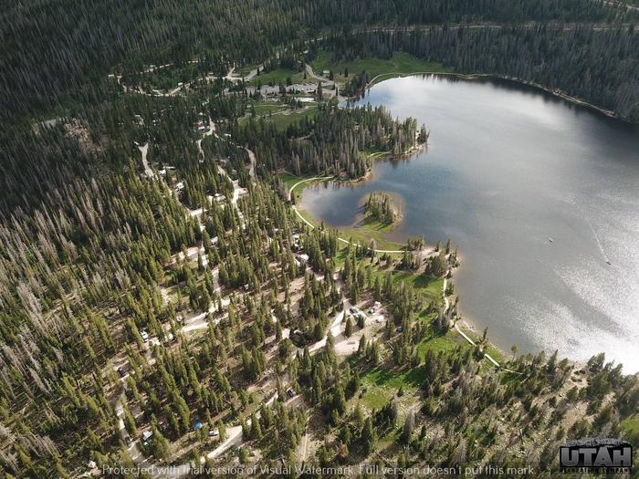 Mirror Lake Campground is located just off the Mirror Lake Scenic Byway on the shores of its beautiful namesake lake at an elevation of 10,400 feet. The byway cuts through the Uinta Mountains, which are known for their abundant recreational opportunities and scenic beauty.
MONTE CRISTO >> Camping Area
 Monte Cristo Campground is located 30 miles east of Huntsville, Utah, at an elevation of 9,000 feet. Visitors enjoy exploring local trails and driving along scenic Highway 39 through wildflower-filled meadows and beautiful forests.
27. MOOSEHORN >> Camping Area
 Moosehorn Campground is located just off the Mirror Lake Scenic Byway on the shores of Moosehorn Lake at an elevation of 10,400 feet. The byway cuts through the Uinta Mountains, which are known for their abundant recreational opportunities and scenic beauty.
28. MT. TIMPANOGOS >> Camping Area
 Mt. Timpanogos Campground is located along the beautiful Alpine Loop Scenic Byway in the Wasatch Mountains. The Mount Timpanogos Wilderness Area is adjacent. Visitors enjoy hiking the Aspen Grove Trail to the summit of Mount Timpanogos.
29. MUELLER PARK GROUP PICNIC >> Camping Area
 Mueller Park Group Picnic Area is located just 5 miles from Bountiful, Utah, at an elevation of 5,400 feet. Visitors enjoy relaxing in the shade along Mill Creek and exploring local trails.
30. PAYSON LAKES >> Camping Area
 Payson Lakes Campground is a local favorite, located just 12 miles from Payson, Utah. Visitors love the campground for its great fishing and canoeing opportunities, pretty scenery and close proximity to town.
31. PAYSON LAKES GUARD STATION >> Camping Area
 Payson Lakes Guard Station is located in the Uinta National Forest, approximately 13 miles south of Payson, Utah, along the Mount Nebo Scenic Byway. The Guard Station was constructed by the Civilian Conservation Corps in 1935 as part of the New Deal Program. The Uinta-Wasatch-Cache National Forest offers the cabin for advance reservation so visitors can enjoy an experience similar to that of early Forest Rangers and their families.
32. PERCEPTION PARK >> Camping Area
 Perception Park is located on the banks of the South Fork Ogden River at an elevation of 5,200 feet. Huntsville, Utah, is just over 7 miles away. Campers love the park for its shade and great river access. Tubing and fishing are very popular activities.
33. PINE VALLEY NORTH WASATCH CACH >> Camping Area
 Pine Valley North Wasatch Cache Group Campground is located on the beautiful Mirror Lake Scenic Byway in the Uinta Mountains of northeastern Utah. The Uintas are known for their abundant recreational opportunities and scenic beauty.
34. PONDEROSA GROUP CAMPGROUND >> Camping Area
 Ponderosa Group Campground is located just off the Mirror Lake Scenic Byway at an elevation of 7,400 feet. The byway is part of the Uinta Mountains of northeastern Utah, which are known for their abundant recreational opportunities and scenic beauty.
35. PORT RAMP MARINA >> Camping Area
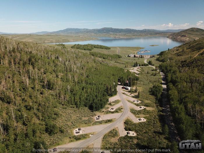
 Port Ramp Marina is a boat slip rental facility located just 10 miles from Ogden, Utah, on the west side of Pineview Reservoir in scenic Ogden Valley. The marina is the most used launching facility at Pineview, which is the busiest reservoir in the state.
36. RENEGADE >> Camping Area
 Renegade Campground is located on the shore of beautiful Strawberry Reservoir at an elevation of 7,700 feet. Visitors flock to Strawberry for its great fishing, boating and trail opportunities.
37. SMITH AND MOREHOUSE >> Camping Area
 Smith and Morehouse Campground is located a very short distance from Smith and Morehouse Reservoir on the western edge of the Uinta Mountains in northeastern Utah. The town of Oakley, Utah, is just 12 miles away. Visitors enjoy fishing, canoeing and exploring the Smith and Morehouse Trail.
38. SOAPSTONE >> Camping Area
 Soapstone Campground is located on the beautiful Mirror Lake Scenic Byway in the Uinta Mountains of northeastern Utah at an elevation of 8,200 feet. The Uintas are known for their abundant recreational opportunities and scenic beauty.
39. SOLDIER CREEK >> Camping Area
 Soldier Creek Campground is located on the shore of beautiful Strawberry Reservoir at an elevation of 7,200 feet. Visitors flock to Strawberry for its great fishing, boating and trail opportunities.
40. SOUTH FORK (UT) >> Camping Area
 South Fork Campground is located on the banks of the South Fork Ogden River at an elevation of 5,200 feet, just 7 miles from Huntsville, Utah. Campers love the park for its great river access. Tubing and fishing are very popular activities.
41. Spruces – Big Cottonwood >> Camping Area
 Spruces Campground is located in scenic Big Cottonwood Canyon at an elevation of 7,500 feet. Salt Lake City is conveniently close. Visitors enjoy hiking, biking and fishing.
42. STATELINE >> Camping Area
 Stateline Campground is located next to Stateline Reservoir on the northern slope of the Uinta Mountains at an elevation of 9,200 feet, about 21 miles from Mountain View, Wyoming. Visitors enjoy fishing, canoeing and exploring local trails. Stateline Reservoir offers rainbow and cutthroat trout fishing, canoeing, kayaking and boating for small watercraft. Several off-road vehicle, hiking, biking and horseback riding trails crisscross the area. China Meadows Trailhead is nearby, giving hikers and horseback riders access to the High Uintas.
43. STILLWATER (UT) >> Camping Area
 Stillwater Campground is located 32 miles from Evanston, Wyoming, just off the Mirror Lake Scenic Byway at an elevation of 8,500 feet. The confluence of the Stillwater Fork and Hayden Fork is just outside the campground, providing great fishing opportunities. The byway cuts through the Uinta Mountains, which are known for their abundant recreational opportunities and scenic beauty.
44. STORM MOUNTAIN >> Camping Area
 Storm Mountain Day Use Area is just 3 miles up Big Cottonwood Canyon, conveniently close to Salt Lake City. Big Cottonwood Creek runs alongside the site. Visitors enjoy fishing, hiking and biking.
45. STRAWBERRY BAY >> Camping Area
 Strawberry Bay Campground is located on the shore of beautiful Strawberry Reservoir at an elevation of 7,200 feet. Visitors flock to Strawberry for its great fishing, boating and trail opportunities.
46. SULPHUR CAMPGROUND >> Camping Area
 Sulphur Campground is located 39 miles from Evanston, Wyoming, just off the Mirror Lake Scenic Byway at the confluence of Stillwater Fork and Hayden River. Numerous hiking, biking, horse and ATV trails crisscross this beautiful region.
47. TANNERS FLAT >> Camping Area
 Tanners Flat Campground is located in scenic Little Cottonwood Canyon at an elevation of 7,200 feet, just 6 miles from Sandy, Utah. The canyon offers many hiking and biking opportunities.
48. THEATER IN THE PINES >> Camping Area
 Theater in the Pines is a large group campsite located along the beautiful Alpine Loop Scenic Byway in the Wasatch Mountains. The Mount Timpanogos Wilderness Area is adjacent. Visitors enjoy hiking the Aspen Grove Trail to the summit of Mount Timpanogos.
49. TIMPOONEKE >> Camping Area
 Timpooneke Campground is located along the beautiful Alpine Loop Scenic Byway high in the Wasatch Mountains. The Mount Timpanogos Wilderness Area is adjacent. Visitors enjoy hiking the Timpooneke Trail to the summit of Mount Timpanogos.
50. TONY GROVE CAMPGROUND >> Camping Area
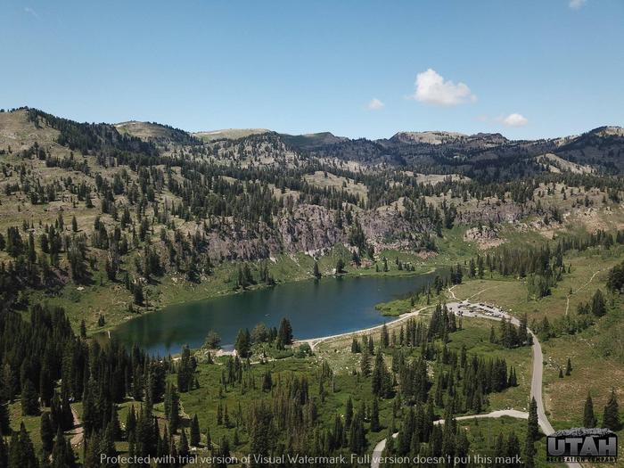 Tony Grove Campground is situated on the mountainside above beautiful Tony Grove Lake, about 19 miles east of Logan, Utah, at an elevation of 8,100 feet. This scenic area is known for its vivid summer wildflowers and excellent trails.
51. TRIAL LAKE CAMPGROUND >> Camping Area
 Trial Lake Campground is located just off the Mirror Lake Scenic Byway on the shores of Trial Lake at an elevation of 9,500 feet. The byway cuts through the Uinta Mountains, which are known for their abundant recreational opportunities and scenic beauty.
52. UPPER NARROWS >> Camping Area
 Upper Narrows Campground is located southwest of Grantsville, Utah, in South Willow Canyon at an elevation of 6,400 feet. Visitors enjoy exploring local trails. The multi-use Stansbury Front and Medina Flat Trails begin nearby, offering access to the rugged Deseret Peak Wilderness. Willow Creek offers rainbow and brown trout fishing.
53. WASHINGTON LAKE >> Camping Area
 Washington Lake Campground is located just off the Mirror Lake Scenic Byway on the shores of Washington Lake at an elevation of 10,000 feet. The byway cuts through the Uinta Mountains, which are known for their abundant recreational opportunities and scenic beauty.
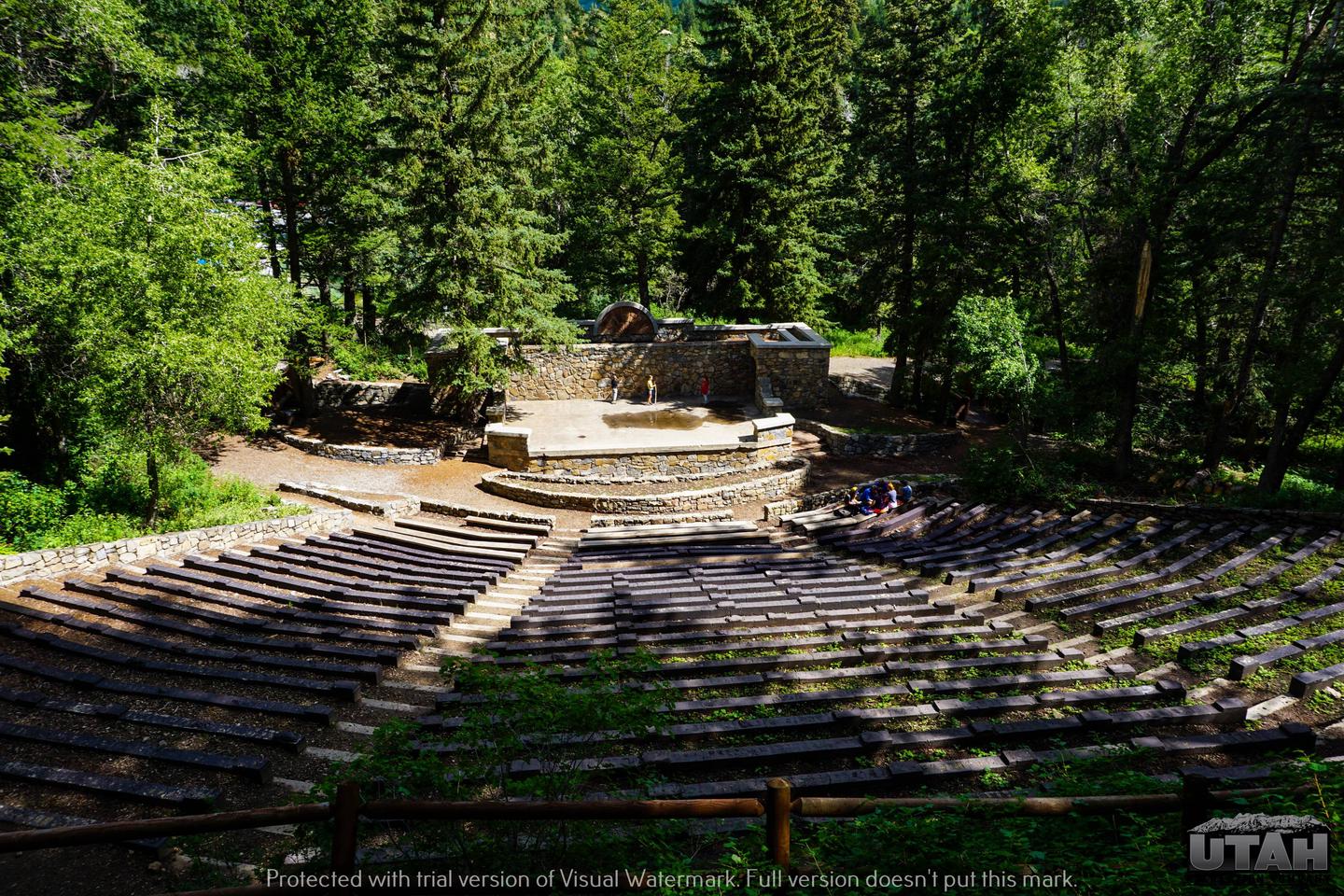
54. WOLF CREEK (UT) >> Camping Area
 Wolf Creek Campground is located on the summit of scenic Wolf Creek Highway at an elevation of 9,400 feet. Visitors enjoy hiking Trail Hollow with its beautiful mountain views. This campground offers two group sites. Site 1 can accommodate up to 60 people; Site 2 can accommodate up to 30 people. An amphitheater sits above Site 1 and has a cement stage, wood benches and a campfire circle.
Hiking Trails
East Fork Blacks Fork Trailhead
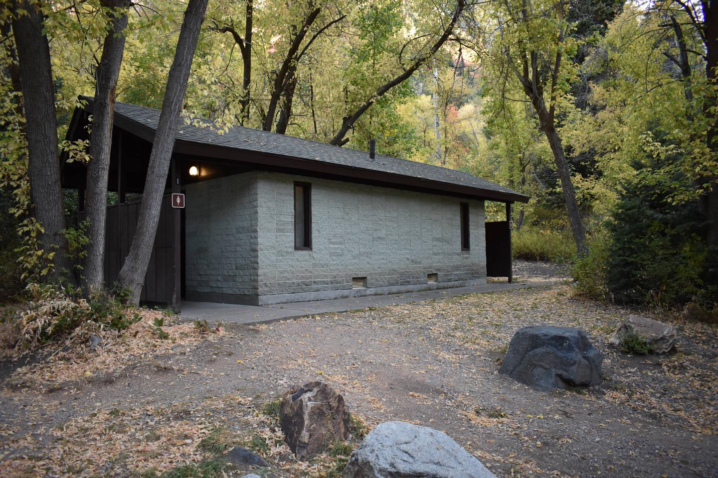
Most National Forest System lands are open, free of charge for your use and enjoyment. Entrance and user fees may be charged at some areas. Some of the areas are operated by private concessionaires under special use permits issued by the Forest Service. Please practice Safety and Leave No Trace to make your visit safe and enjoyable while protecting resources we all enjoy.
How Do I Find Out About Caves in the Area?
We encourage you to contact the local grotto, Timpanogos Grotto, for information on local caves and cave conservation and safety. Grottos are local chapters of the National Speleological Society, an organization involved in studying, exploring, and conserving caves and cave resources.
Timpanogos Cave National Monument
Timpanogos Cave National Monument is located in American Fork Canyon, surrounded by the Uinta National Forest. Declared a National Monument in 1922 by President Warren G. Harding, the caves were initially managed by the Forest Service. In 1933, jurisdiction was transferred to the National Park Service. The monument consists of 250 acres, its main feature being three limestone caves accessible by a steep 1 1/2-mile trail. The Park Service provides Ranger-led tours through the cave in the summer. They also offer special “Introduction to Caving” tours off the main trail. Please contact the Monument for ticket prices and availability, either through their website or by calling the Visitor Center at 801-756-5238 (mid-May through October).
Cave Management
The Federal Cave Resources Protection Act of 1988 provides direction for management of caves deemed significant due to characteristics that are geological, mineralogic, paleontologic, recreational, cultural, biotic, educational, and/or of scientific value. There are 69 caves on the Uinta National Forest that meet the criteria of the Act. Any management activities that could affect any known cave are restricted.
Logan Cave
The cave is gated closed. The cave was closed to the public on October 1, 1997 to ensure the viability of a rare and special biological community of Townsend’s Big-Eared Bats that is located in Logan Cave. The bats are particularly vulnerable to human disturbance during their periods of mating, hibernation, and maternity colony, which runs from about October to August each year. The Big-Eared Bat is listed as a sensitive species by both the Forest Service and Utah Division of Wildlife Resources. To aid with protecting this species during their vulnerable period, it is prohibited to into or within 250 feet of the mouth of Logan Cave.
Related Link(s)
Uinta-Wasatch-Cache National Forest
High Uintas Wilderness [Ashley and Wasatch-Cache National Forests] Map
Topographic MapExplore the alpine vistas, glacier-formed lakes, and Utah’s highest peaks with National Geographic’s Trails Illustrated map of High Uintas Wilderness, Ashley and Wasatch-Cache National Forests.
AAA Travel Guides – Wasatch Cache National Forest, UT
AAA Travel Information for major cities, national parks and other destinations across North America, Mexico and the Caribbean. Learn more about the most popular travel destinations.
Welcome to the Uinta-Wasatch-Cache National Forest – YouTube
As a visitor to the Uinta-Wasatch-Cache, you can engage in a variety of activities, including horseback riding, OHV riding, bike riding, camping, fishing, an…
Best Hikes in Wasatch Mountains + Northern Utah, Utah
Best hiking in Wasatch Mountains + Northern Utah, Utah
More Than Just Forests: Uinta Wasatch Cache National Forest – YouTube
Containing nearly 2.1 million acres of geological and ecologically-diverse landscapes (including seven protected Designated Wilderness Areas), this collectio…
Fall Colors on the Uinta-Wasatch-Cache National Forest – YouTube
Every autumn, the landscapes of the Uinta-Wasatch-Cache National Forest change from vibrant greens to blazes of red, orange, and gold. Please stay on designa…
Best Hikes in Uinta-Wasatch-Cache National Forest (UT) | Trailhead Traveler
The Uinta-Wasatch-Cache National Forest is located in northern Utah with a small portion stretching into southwestern Wyoming. The forest…
Uinta-Wasatch-Cache National Forest
Home to some of the state’s most iconic mountain ranges and some truly stunning landscapes, the Uinta-Wasatch-Cache National Forest is a large area of federally-managed land in the central, northern, and eastern portions of the US state of Utah and some small sect…
This National Forest in Utah Is a Gem | Outside Online
In this series from More Than Just Parks, which highlights America’s federal public lands, Uinta-Wasatch-Cache captures the beauty and recreational opportunities this landscape in northeast Utah has to offer.
Share the Experience | Uinta-Wasatch-Cache National Forest
Powder Day, Brighton Ski Resort with Mount Timpanogos in background.
Rent a Cabin near Uinta-Wasatch-Cache National Forest, Utah
Rent a cabin with Glamping Hub near Uinta-Wasatch-Cache National Forest, Utah and see why glamping is this year’s travel trend!
Uinta-Wasatch-Cache National Forest – – Levan, UT – RoverPass
Reserve Uinta-Wasatch-Cache National Forest in Levan, Utah. Read reviews, amenities, activities, and view photos and maps.
Uinta-Wasatch-Cache National Forest
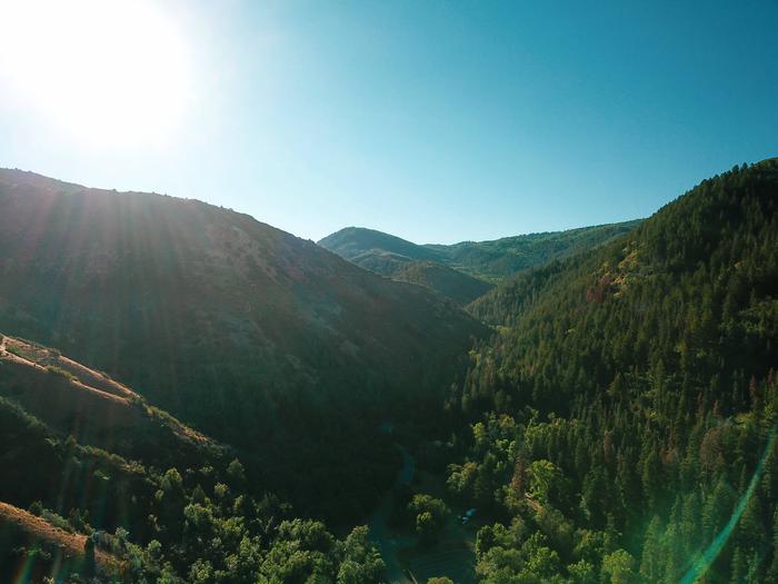
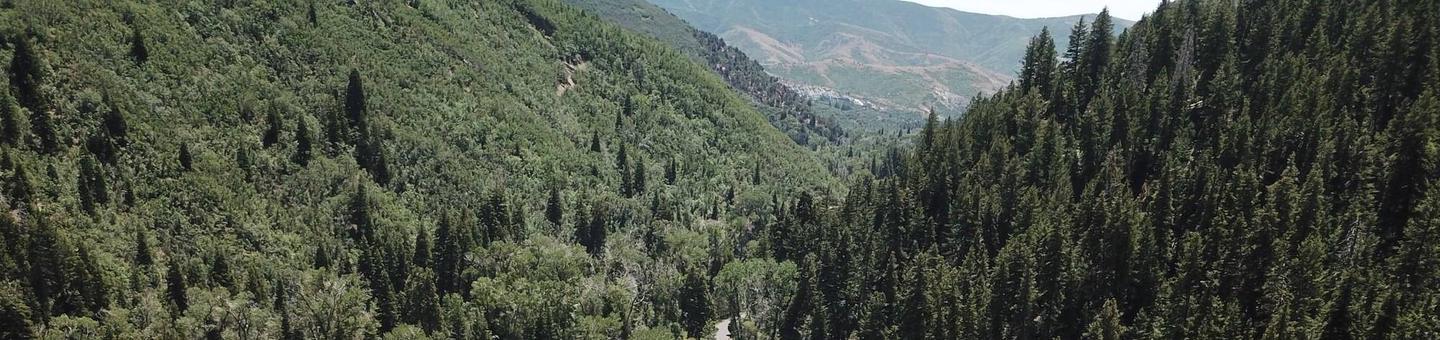
Take a drive, hike or a bike ride down and through the many scenic views of the Uinta-Wasatch-Cache National Forest. Take a hike up to Mount Timpanogos, bike through the trails of Bridal Veil Falls or take a peaceful drive through one of the many scenic drives like the Alpine Loop, Nebo Loop, Hobble Creek Canyon and Provo Canyon. Annually, September 14-25 is the height of this season’s fall colors. However, there are still plenty of beautiful colors through mid-October. Note: The Alpine Loop requires a small fee.
Uinta-Wasatch-Cache National Forest | Great American Places
The 2.1 million-acre Uinta-Wasatch-Cache National Forest is mere minutes from Utah’s largest cities running just east of the Wasatch Front on the Wasatch Mountains. It also stretches for more than 130 miles north to south from Logan to Spanish Fork.
Uinta-Wasatch-Cache National Forest | South Jordan, UT 84095
The Uinta-Wasatch-Cache National Forest encompasses 1,300,000 acres of Utah’s Wasatch Mountains. Scenic highways provide easy access to most of the forest’s campgrounds, picnic areas, clear blue mountain lakes, rivers, and trails. Ski resorts located in this forest provide world-renowned downhill skiing.
Uinta Wasatch Cache National Forest | Utah.com
The Uinta-Wasatch-Cache National Forest has something for everyone with snow in the winter and hiking and scenic highways including the Mirror Lake Scenic Byway.
Uinta-Wasatch-Cache National Forest | Outdoorsy
The Uinta-Wasatch-Cache National Forest is a short drive away from Salt Lake City and offers outdoor activities like RV camping, hiking, and skiing.
Best trails in Uinta-Wasatch-Cache National Forest, Utah | AllTrails
The Uinta-Wasatch-Cache National Forest is one of the 12 National Forests in the Intermountain Region as well as one of the urban National Forests in the Forest Service System. It covers an area that includes northern and north-central Utah, and southwestern Wyoming. This area also includes the larges population center within the State of Utah, which is known as the Wasatch Front. The Forest is heavily influenced and impacted from over a million people living in close proximity. The Uinta-Wasatch-Cache National Forest has a net acreage of 2,169,596 acres. It is divided into seven Ranger Districts: Salt Lake, Kamas/Heber, Ogden, Pleasant Grove, Spanish Fork, and Logan in Utah; and Evanston/Mountain View in Wyoming. Scenic beauty on the Forest offers unlimited recreational opportunities throughout the year. Whether you enjoy skiing, snowboarding, snowmobiling, hiking, mountain biking, camping, picnicking, fishing, boating, swimming, horseback riding, etc., you can find the recreational experience you are seeking. Because of the abundance of recreation opportunities and the large urban population along the Wasatch Front, the Uinta-Wasatch-Cache National Forest is one of the most heavily visited in the entire National Forest System.
Best Time to See Wildflowers of Uinta-Wasatch-Cache National Forest in Utah 2021
The Uinta-Wasatch-Cache National Forest is one of the most popular spots in Utah. It features a huge area full of various attractions. Here you will find hundreds of must-see hiking trails and lots of mountain biking paths. But the real beauty of this place opens during spring when thousands of wild
Uinta-Wasatch-Cache National Forest BringFido: Pet Friendly Hotels & Dog Travel Directory
Uinta-Wasatch-Cache National Forest is a popular dog friendly hike in South Jordan. Visit BringFido for an overview of the trail, along with pictures, directions, and reviews from dog owners who’ve been there.
Uinta-Wasatch-Cache National Forest | National Forests
Uinta-Wasatch-Cache National Forest: Photos, information and maps of the Uinta-Wasatch-Cache National Forest area in northeastern Utah
Wasatch-Cache National Forest | recreational region, United States | Britannica
Wasatch-Cache National Forest, popular recreational region of forests and streams in the Stansbury, Monte Cristo, Bear River, Wasatch, and Uinta mountain ranges of northern Utah and southwestern Wyoming, U.S. It adjoins Ashley and Uinta national forests in Utah and Caribou National Forest in Idaho
10 Fun Facts About the Uinta National Forest | All Seasons Adventures
Within a 25-minute car ride from Park City lies the Uinta National Forest. Located primarily in Northern Utah with smaller parts extending into southwestern…