Directions
High-clearance and four-wheel-drive vehicles are needed to travel to the boundary of the wilderness. Paved State Route 60 provides access to jeep trails extending to the wilderness area’s north boundary. The paved Eagle Eye Road provides access to numerous jeep trails along the area’s southern side. Harquahala Peak can be reached by the Harquahala Back Country Byway; a 10.5 mile steep, winding, and narrow road for 4-wheel drive, high-clearance vehicles.
Phone
(623) 580-5500
Activities
HIKING, HORSEBACK RIDING, WILDERNESS
Camping Reservations
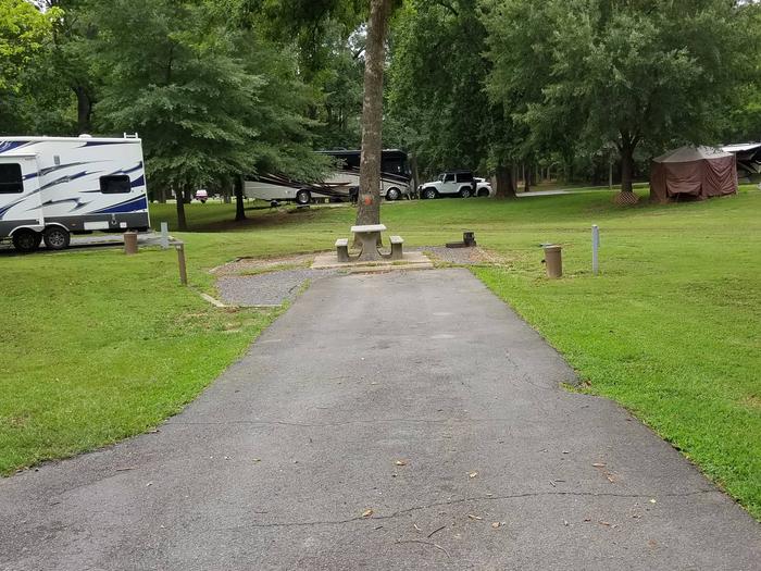
Reserve your campsite at these camping areas:
Hiking Trails
Looking for nice hiking areas to take a hike? Choose from these scenic hiking trails:
Related Link(s)
Overview
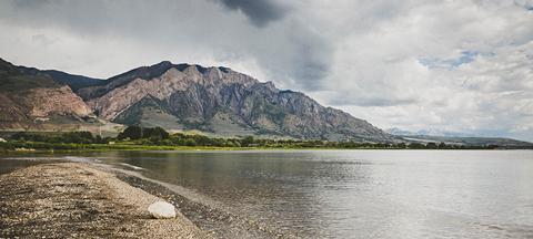
The 22,880-acre Harquahala Mountains Wilderness lies in Maricopa and La Paz counties, 80 miles northwest of Phoenix, Arizona.
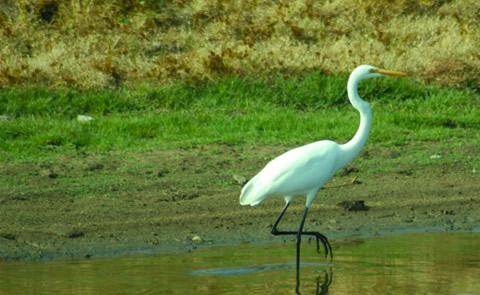
This wilderness contains part of one of western Arizona’s largest desert mountain ranges. The 5,691-foot- high Harquahala Peak, the highest point in southwest Arizona, provides a breathtaking panorama of surrounding desert and distant mountain ranges. Different from many Sonoran Desert mountain ranges, the Harquahalas contain a screened interior canyon system. The distinctive ecosystems provide exceptional natural diversity, including a relict “island” of interior chaparral, desert grasslands and rare cactus populations. The area also supports habitat for desert bighorn sheep, mountain lions, desert tortoise, and mule deer populations. The area also supports venomous snakes and the gila monster.
Hikers, backpackers, wildlife observers and photographers will find many recreation opportunities here. Hike or horseback ride the 5.4 mile Harquahala pack trail. Rugged topography and the area’s sheltered Brown’s Canyon interior drainage system furnish the solitude and secluded experience treasured by many wilderness visitors.
Know Before You Go
- Please follow the regulations in place for this area, and use Leave No Trace techniques when visiting to ensure protection of its unique natural and experiential qualities.
- Motorized equipment and equipment used for mechanical transport are generally prohibited on all federal lands designated as wilderness. This includes the use of motor vehicles (including OHVs), motorboats, bicycles, hang gliders, wagons, carts, portage wheels, and the landing of aircraft including helicopters Contact the agency for more information about regulations.
- High-clearance vehicles and four-wheel drive vehicles are required.
- Some lands around and within the wilderness are not federally administered. Please respect the property rights of the owners and do not cross or use these lands without their permission.