Directions
Exits 13, 20, 26 and 28 on Interstate 40 and mileposts 15, 17.1, 33.8 and 34.7 along Route 66 all provide access to the wilderness. Four-wheel drive is required for all access routes.
Phone
(928) 718-3700
Activities
HIKING, HORSEBACK RIDING, WILDERNESS
Camping Reservations
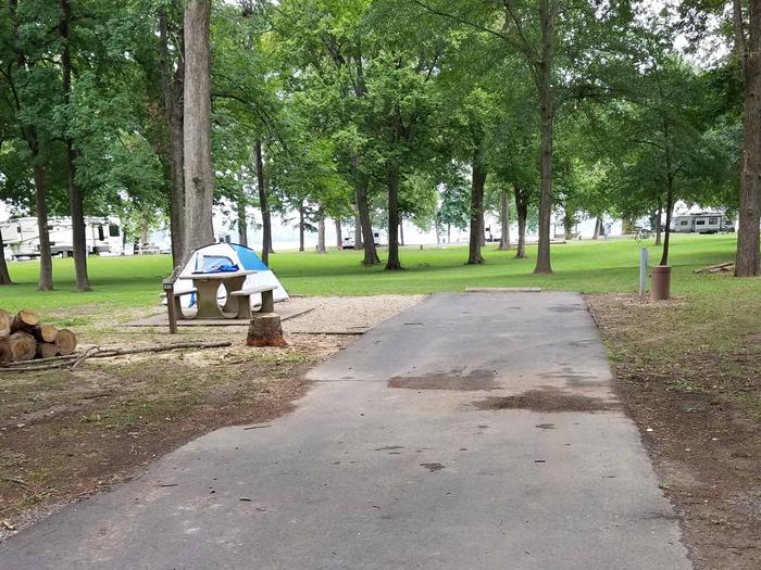
Reserve your campsite at these camping areas:
Hiking Trails
Looking for nice hiking areas to take a hike? Choose from these scenic hiking trails:
Related Link(s)
Overview
The 112,400-acre Warm Springs Wilderness is located in Mohave County, 30 miles southwest of Kingman, Arizona and 30 miles north of Lake Havasu City, Arizona.
The Warm Springs Wilderness encircles an immense and pristine desert landscape. One thousand feet above the surrounding desert, the 10-mile long Black Mesa dominates the wilderness. Its edges are dissected into a maze of winding canyons. Remnant mesas and isolated hills dot a vast encircling alluvial apron.
The diverse zoologic and geologic features offer outstanding opportunities for primitive recreation. Water at Warm Springs and other springs allow for extended camping trips. Horseback riding and hiking are further enhanced by the presence of an old historic trail and numerous burro trails. In the spring following a wet winter, this area unveils a notably colorful wildflower display, including ocotillos, blooming annuals, shrubs, and cacti.
Know Before You Go
- A four-wheel drive vehicle is required to gain access to this wilderness.
- The terrain in this wilderness is extremely rugged. A few old vehicle ways provide hiking routes in some places, but the most commonly used routes are the sand washes which dissect the area. Bighorn sheep and burro trails can often be located and followed on uplands. No formal hiking trails exist in this wilderness unit.
- The summer climate in this wilderness unit is harsh. Daytime temperatures during the summer months are over 100 degrees. Temperatures are more moderate between October 1 and April 30th.
- Water is relatively scarce in this part of the Black Mountains. Springs shown on topographic maps can generally be relied upon for drinking water. Following rainy weather, pothole water is available but can dry up quickly. Purification of all water is a necessity.
- Please follow the regulations in place for this area, and use Leave No Trace techniques when visiting to ensure protection of its unique natural and experiential qualities.
- Motorized equipment and equipment used for mechanical transport are generally prohibited on all federal lands designated as wilderness. This includes the use of motor vehicles (including OHVs), motorboats, bicycles, hang gliders, wagons, carts, portage wheels, and the landing of aircraft including helicopters. Contact the agency for more information about regulations.
- Some lands around and within the wilderness are not federally administered. Please respect the property rights of the owners and do not cross or use these lands without their permission.