
Directions
From Jemez Springs, NM: Follow Highway 4 north. Preserve is about 22 miles from Jemez Springs. Look for the Main Gate at Mile Marker 39.2. From Los Alamos, NM: Take Trinity Drive to Diamond. Take a left on Diamond, then a right on West Jemez Road to the intersection with State Highway 4. Take a right [away from Bandelier National Monument], following the highway up and into the Jemez Mountains.) The Preserve is 18 miles up Highway 4 from Los Alamos. Look for the Main Gate at Mile Marker 39.2.
Phone
(575) 829-4100
Activities
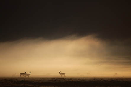
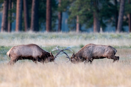
AUTO TOURING, BIKING, HISTORIC & CULTURAL SITE, FISHING, HIKING, HORSEBACK RIDING, HUNTING, WILDLIFE VIEWING
Camping Reservations
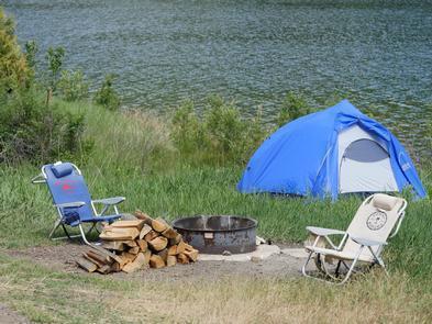
Reserve your campsite at these camping areas:
Hiking Trails
Looking for nice hiking areas to take a hike? Choose from these scenic hiking trails:
Related Link(s)
More New Mexico Recreation Areas
Valles Caldera National Preserve Official Website
Valles Caldera National Preserve Map
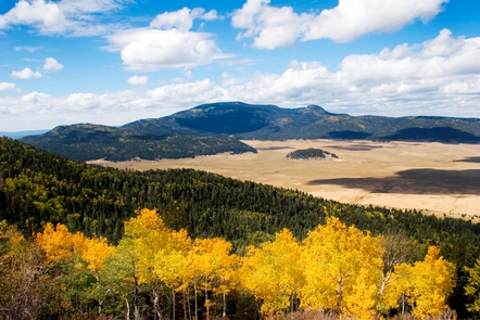
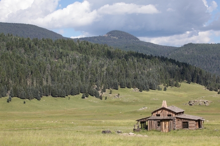
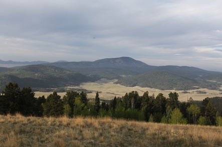
About 1.25 million years ago, a spectacular volcanic eruption created the 13-mile wide circular depression now known as the Valles Caldera. The preserve is known for its huge mountain meadows, abundant wildlife, and meandering streams. The area also preserves the homeland of ancestral native peoples and embraces a rich ranching history.