Directions
The Red Canyon Overlook is 24 miles south of Lander on Highway 28 .
Phone
307-382-8400
Activities
WILDLIFE VIEWING, PHOTOGRAPHY
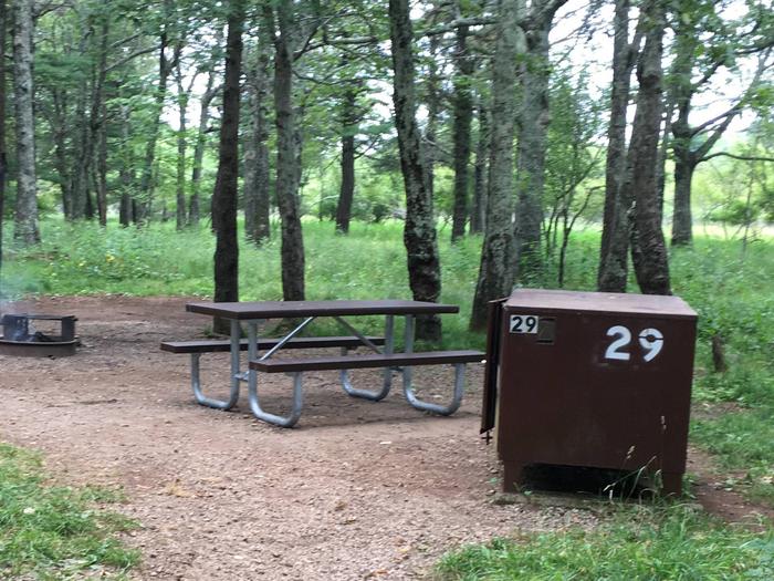
Camping Reservations
Reserve your campsite at these camping areas:
Hiking Trails
Looking for nice hiking areas to take a hike? Choose from these scenic hiking trails:
Related Link(s)
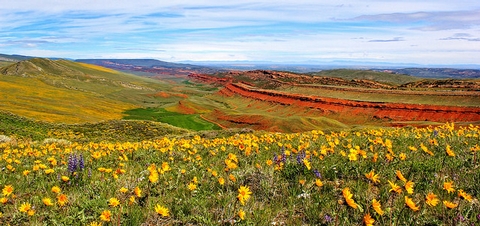
Stop at the Red Canyon Overlook 24 miles south of Lander on Highway 28 to enjoy one of the most scenic vistas in Wyoming. The canyon was formed some 60 million years ago during the uplift of the Wind River range to the west. As the sedimentary rocks tilted, the more easily erodible rocks were removed by the action of water, creating the canyon as it is seen today.
The long, grass-covered slopes on the west side of the canyon are part of the Permian Phosphoria formation, a marine deposit composed of limestone, sandstone, dolomite, siltstone, bedded chert and phosphorite. The less-resistant rocks above the chert were eroded.
The bottom of the canyon and the lower 300 feet of the east side are eroded into the Triassic Chugwater formation. This consists of brick red sandstone, shale, and siltstone, and being less resistant to erosion, was removed from the underlying Phosphoria chert. The bright red color of the Chugwater is due to a great amount of oxidized iron between and on the grains of the rock. It is this coloration that gives Red Canyon its name.
Red Canyon Rim, which forms the east side of the valley, is comprised of salmon-colored Jurassic Nugget sandstone. This sandstone was deposited during regression of ancient seas. It represents tidal flat and beach sedimentation and was cross-stratified during deposition on ancient back-beach sand dunes.