Directions
Access is from Highway 380, 4.5 miles west of Carrizozo. There are several pullouts on U.S. 380 from which you may hike southwest into the WSA on the lava flow.
Phone
575-627-0272
Activities
HIKING
Camping Reservations
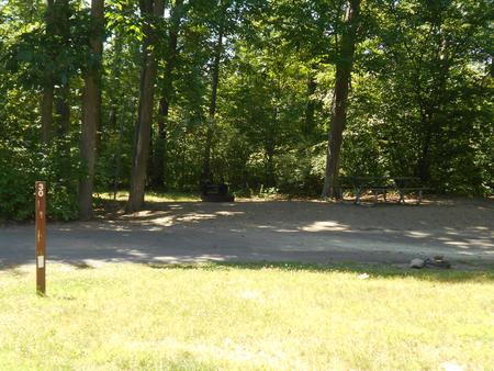
Reserve your campsite at these camping areas:
Hiking Trails
Looking for nice hiking areas to take a hike? Choose from these scenic hiking trails:
Related Link(s)
More New Mexico Recreation Areas
BLM New Mexico YouTube Channel
BLM New Mexico YouTube Channel
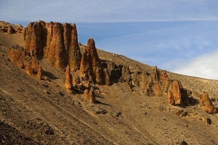
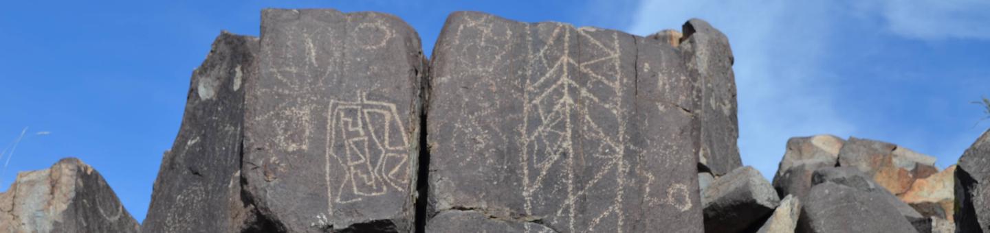
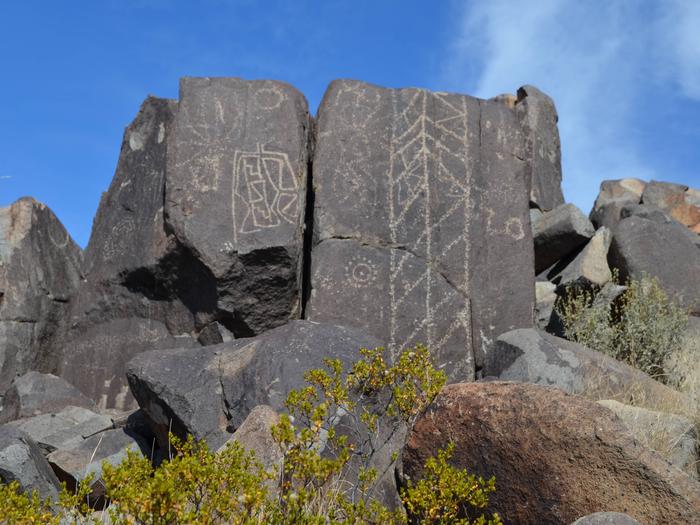
The Carrizozo Lava Flow WSA is located in central New Mexico. This lava flow is believed to be one of the most recent lava flows in the continental United States, dating back 1,500 years. This is a flat plain but a rugged landscape nonetheless. The surface of the lava is extremely rough and broken by fractures, collapsed lava tubes, and pressure ridges. Sparse desert shrubs and grasses grow in the cracks providing an interesting contrast of green against the black lava. The area supports a remarkably diverse ecosystem, including melanistic species with fur or skin darker than is typical for their species since they live mostly on the dark lava. The landscape is difficult to traverse; consequently, the opportunity to find solitude is limitless.