Directions
From Interstate-10 take Exit #3 at Steins, NM (19 miles southwest of Lordsburg). Turn right at the stop sign off the exit, drive less than ј mile (passing the Steins ghost town) and turn right onto Summit Road / Steins Rd. Cross the railroad tracks and drive northeast, then north for about 10 Ѕ miles, staying on Summit Road (passing Steins Road & Steins Mtn Road on the left at about 3 miles, and County Road A014 on the left at about 9 miles). At approximately 10 Ѕ miles you will reach Braidfoot Road on your left. Turn left and follow the road southwest. This road forms the southern WSA boundary. The WSA will be on your right for approximately 2 Ѕ miles.
Phone
575-525-4300
Activities
HIKING, WILDLIFE VIEWING
Camping Reservations
Reserve your campsite at these camping areas:
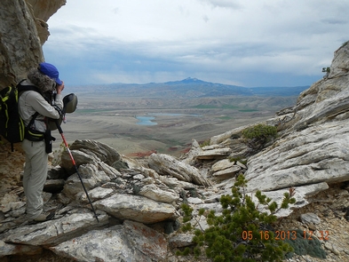
Hiking Trails
Looking for nice hiking areas to take a hike? Choose from these scenic hiking trails:
Related Link(s)
More New Mexico Recreation Areas
BLM New Mexico YouTube Channel
BLM New Mexico YouTube Channel
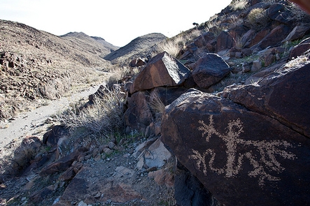
The Peloncillo Mountains WSA is in southwestern New Mexico and contiguous with the Peloncillo Wilderness in Arizona. The landform is comprised of low mountains, cliffs, and numerous canyons, with gentle hills covered in desert grasses and shrubs. Desert bighorn sheep inhabit the Peloncillo Mountains as well as Gila monsters and pincushion cacti.