Directions
To reach the southern border of the WSA, take the Escondida exit (#152) from I-25 (approximately three miles north of Socorro and 23 miles south of Bernardo & Hwy 60 E). Drive east and then immediately north to follow NM 408 for just over one mile to Pueblito Road. Turn right on Pueblito Road and drive east for less than one mile to the community of Pueblito; passing Escondida Lake and crossing the Rio Grande. At Pueblito, turn left at the T intersection onto Johnson Hill County Rd. Drive north and then east for about one mile where you will be very close to the southern border of the WSA. Johnson Hill Rd continues for over seven miles, northeast and then north, forming the eastern border of the WSA.
Phone
575-835-0412
Activities
HIKING
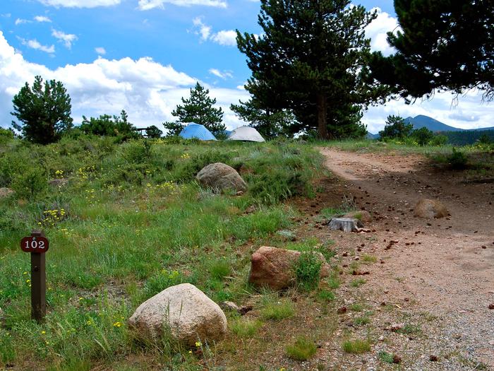
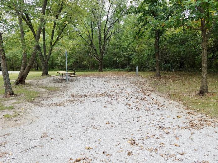
Camping Reservations
Reserve your campsite at these camping areas:
Hiking Trails
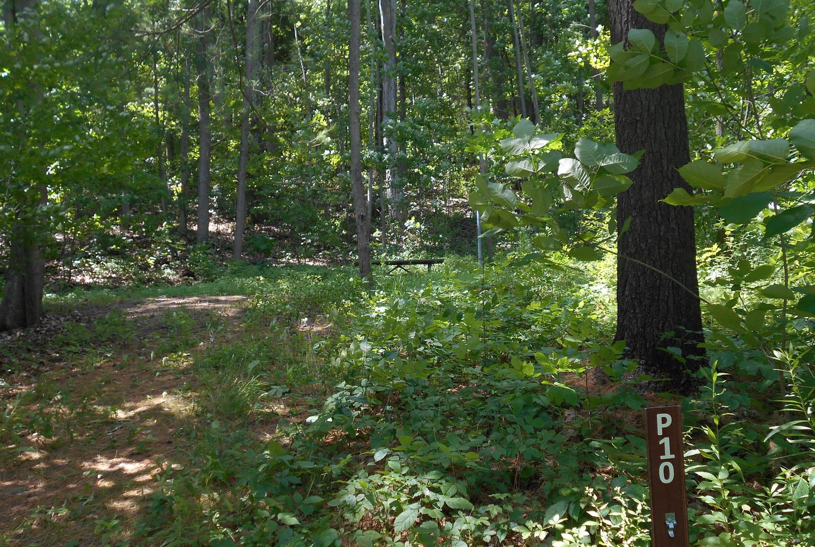
Looking for nice hiking areas to take a hike? Choose from these scenic hiking trails:
Related Link(s)
More New Mexico Recreation Areas
BLM New Mexico YouTube Channel
BLM New Mexico YouTube Channel
The Veranito WSA is located in central New Mexico approximately five miles east of Socorro. The area is characterized by a series of undulating, parallel ridges cut by numerous arroyos. It is interspersed with low-lying hills and a low elevation east-facing escarpment. The vegetation is typical of the upper Chihuahuan Desert.