Directions
To reach the McCullough Peaks WSA from the south, from Cody take U.S. Highway 14/16/20 east toward Greybull for about 5 miles. Turn north (left) onto the McCullough Peaks Road #1212. This well-graded road is directly across the highway from the Cody Archery Range. You will reach the southern border of the McCullough Peaks about 8 miles up Road 1212. Road 1212 follows the southern WSA boundary for about 2 miles before it turns south and travels another 11 miles back to U.S. Highway 14/16/20. To reach the McCullough Peaks WSA from the northwest, from Cody, take U.S. Highway 14 Alt. northeast toward Powell for about 11.5 miles. Turn south (right) onto County Road 18. Follow County Road 18 for approximately 0.7 miles, then turn east (left) onto County Lane 15. Follow County Lane 15 east for about 1.4 miles, then turn south (right) onto the gravel BLM Road 1211. After traveling south on Road 1211 for about 0.75 miles, you will reach the boundary of the WSA. From there, you can choose to travel roads along either the western or northern boundary of the WSA.
Phone
307-578-5900
Activities
HIKING, HORSEBACK RIDING, HUNTING, WILDLIFE VIEWING, PHOTOGRAPHY
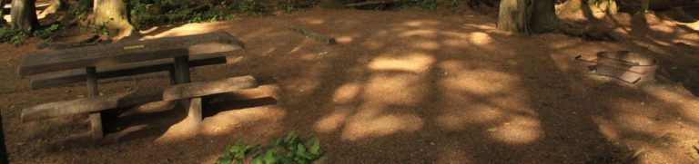
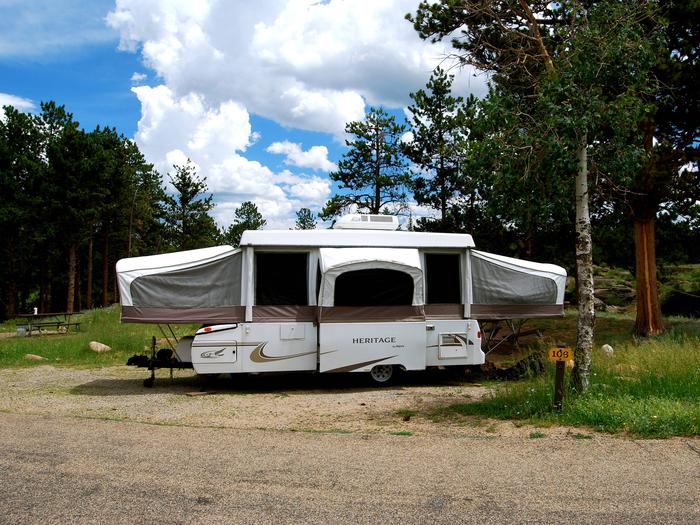
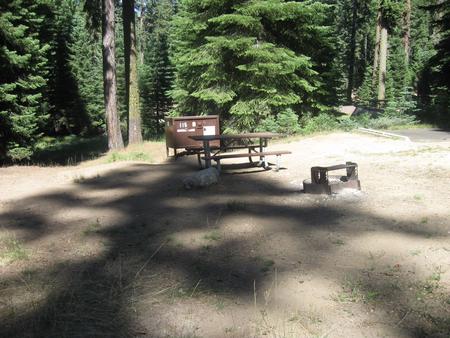
Camping Reservations
Reserve your campsite at these camping areas:
Hiking Trails
Looking for nice hiking areas to take a hike? Choose from these scenic hiking trails:
Related Link(s)
The McCullough Peaks WSA encompasses 25,210 acres of BLM-administered land, 640 acres of split-estate land, and 640 acres of state-owned land.
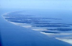
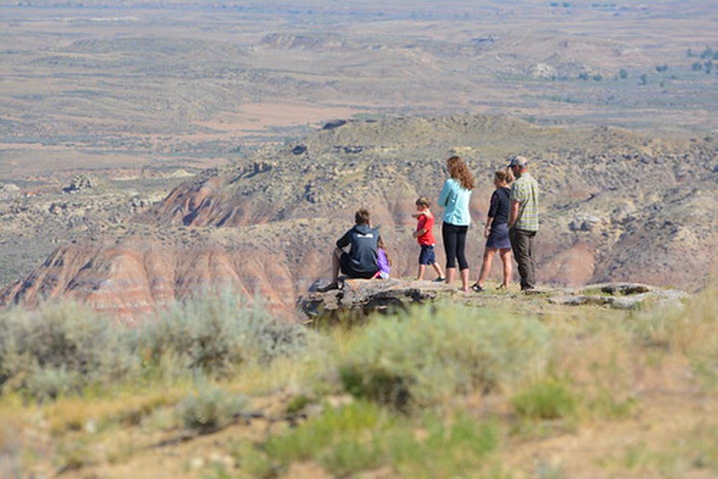
The WSA consists of the badlands that form the north slope of the McCullough Peaks. The terrain is characterized by sharp ridges and deeply eroded drainages. There are also large expanses of open, gentle terrain. The area is scenic and provides opportunities for solitude and primitive recreation.
The panoramic views from the top of McCullough Peaks are outstanding and include not only the study area’s badlands but views of Heart Mountain, the Beartooth Mountains and the Absaroka Range.
A variety of opportunities for primitive and unconfined recreation can be found throughout the area, including hiking, hunting, horseback riding, rock hounding, nature study and photography. Game populations support upland bird and limited deer hunting.
The vividly colored and highly eroded ridges and hills have outstanding scenic quality. Opportunities for wild horse viewing are present. The McCullough Peaks area has been known for its paleontological and geologic interest for some time.