Directions
From Interstate 90, take exit 254 for Kaycee. Head west on Highway 191 for about 1 mile. Turn left onto Highway 190W for about 16 miles to Barnum. Turn left onto Bar C Road (sign for Middle Fork Powder River Management Area). This road is an improved all-weather access road and travels directly through the headquarters of the Hole-in-the-Wall ranch. Please respect private property rights and all posted signs. Follow it for about 2 miles to the boundary of the management area and another 5 miles to the campground and trailhead.
Phone
307-684-1100
Activities
AUTO TOURING, BIKING, CAMPING, FISHING, HIKING, HORSEBACK RIDING, HUNTING, OFF HIGHWAY VEHICLE, WILDLIFE VIEWING, PHOTOGRAPHY
Camping Reservations
Reserve your campsite at these camping areas:
Hiking Trails
Looking for nice hiking areas to take a hike? Choose from these scenic hiking trails:
Related Link(s)
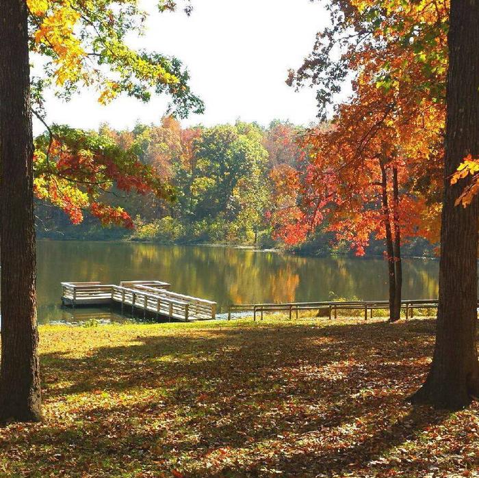
The Middle Fork Powder River area is located about 21 miles southwest of Kaycee, Wyoming, in a spectacularly scenic part of the state that is rich with the legend of Old West outlaw activity from the late 1800s.
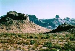
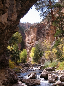
A red-wall canyon is visible from much of the Middle Fork area, which boasts excellent hunting and fishing opportunities.
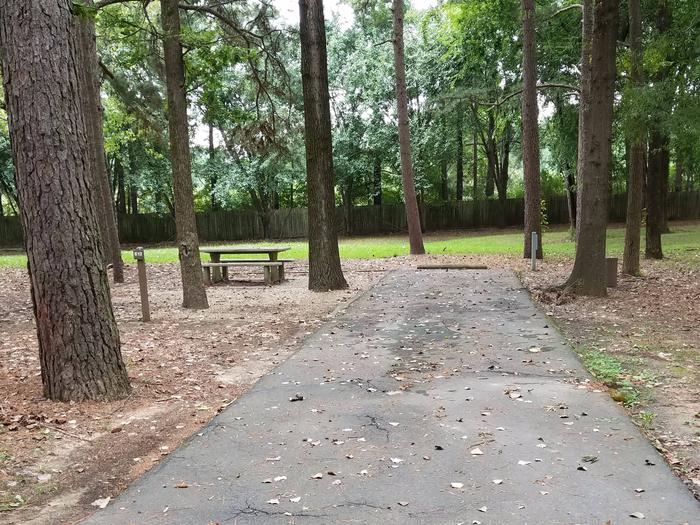
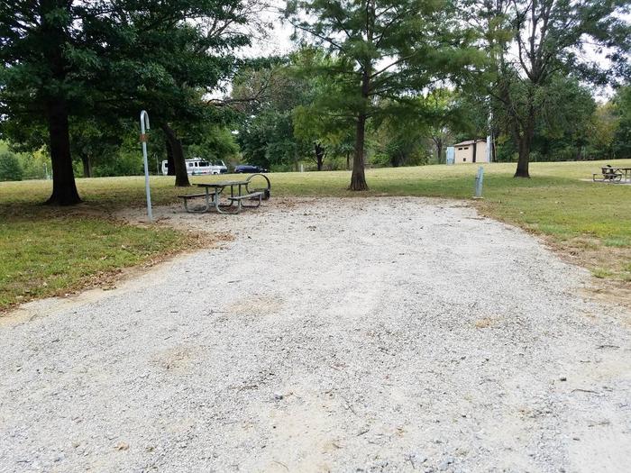
The Outlaw Cave Campground is located within the Middle Fork Powder River recreation area. This campground is a fee-free site that includes a vault toilet. However, there is no potable water source.
Please remember to keep vehicles, including OHVs, on designated routes. If you plan on venturing beyond the campground, we recommend that you have a high-clearance vehicle, as some of these roads are very primitive. We also recommend that you do not venture out into these areas during periods of inclement weather. Additionally, Outlaw Cave Road is closed to motorized use during the winter from January 1 through April 14.
The Ed O. Taylor Wildlife Habitat Management Area is located just west of the Outlaw Cave Campground. Travel within the region is recommended for high clearance 4WD vehicles only. Additionally, the Ed O. Taylor area is closed to human presence January 1 through May 14 for wildlife protection.
Legal public access is available from Outlaw Cave Campground to the border of the first private land parcel, approximately 9 miles to the west. There is no legal public access between Outlaw Cave and Hole-in-the-Wall or between Outlaw Cave Campground and Hazelton Road. Access across any private land parcels requires permission of the landowner.