Directions
From Needles, CA, take U.S. Highway 95 south approx. 35 miles to BLM Route NS634-Mopah Trail. Turn right on NS634 and drive approx. 4 miles. An information panel for the trail is located at the wilderness boundary. A small parking area is located at the site.
Phone
760-326-7000
Activities
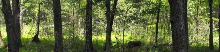
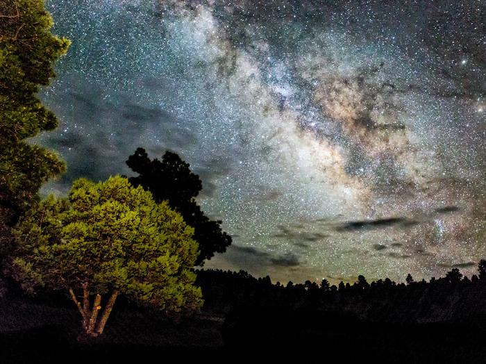
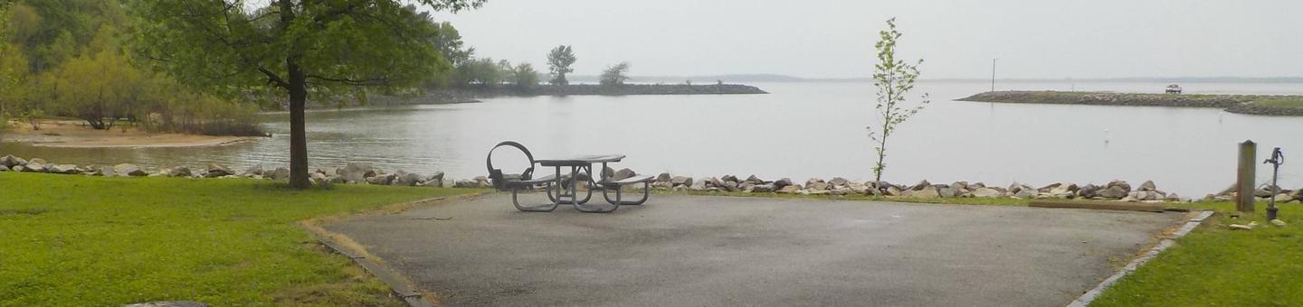
BIKING, CAMPING, HIKING, HORSEBACK RIDING, HUNTING, WILDLIFE VIEWING, ENVIRONMENTAL EDUCATION, PHOTOGRAPHY
Camping Reservations
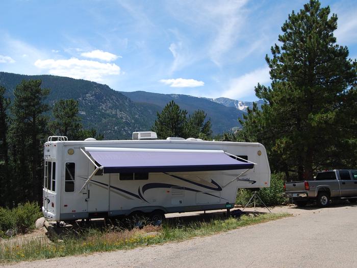
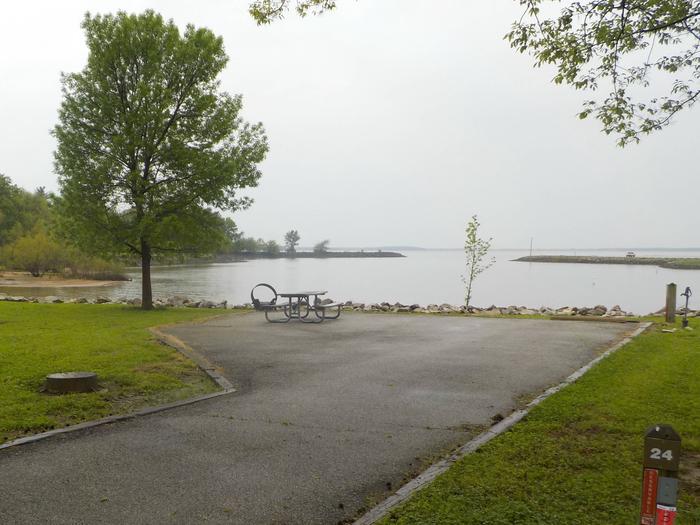
Reserve your campsite at these camping areas:
Hiking Trails
Looking for nice hiking areas to take a hike? Choose from these scenic hiking trails:
Related Link(s)
More California Recreation Areas
The eastern portion of the Turtle Mountains is dominated by Mopah Peak. Standing 3,675 feet above sea level, the peak is the remnant of an ancient vocano, eroded to form a massive, reddish pinnacle. Mopah Peak is considered one of the most difficult climbs in the desert. The southwest approach is probably the best for climbing. The view from the peak is said to be among the most spectacular panoramas in the entire desert. The route to this peak is regarded as a fun desert climb. The panarama from the summit includes the Colorado and Stepladder Mountains to the north, the Mopah Spring palm oasis to teh west, and the 27-ft higher summit of the Umpah Peak to the south. To climb Umpah, descent to the saddle between the two peaks and then scramble up. Keep your eye out for chalcedony roses; many are found in this area.