Directions
From Needles, CA, take U.S. Highway 95 south approx. 20 miles to Havasu Lake Road. Turn left on Havasu Lake Road and drive approx. 10 miles to BLM Route NS056 – Hightower Road (Powerline Road). Turn right onto NS056 and drive approx. 3 miles to West Well Trail/War Eagle Mine Loop. Turn Right onto West Well Trail and drive approx. one quarter mile. A small parking area will be on your left hand side.
Phone
760-326-7000
Activities
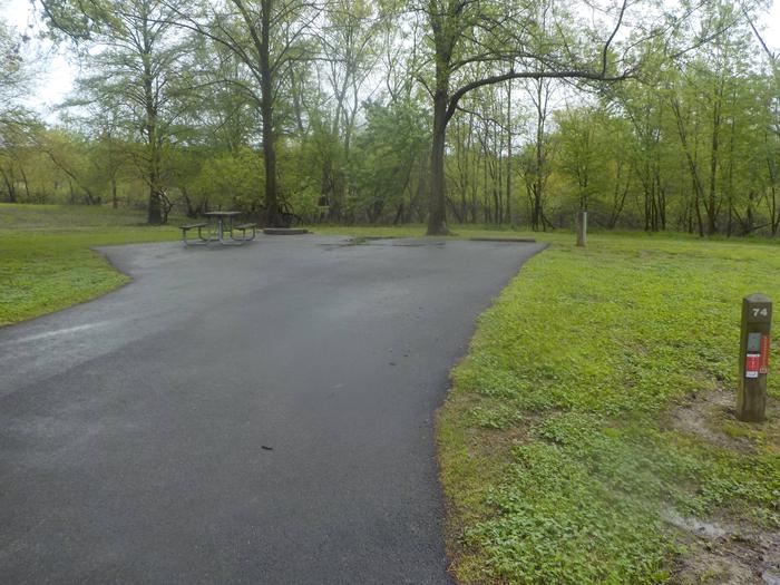
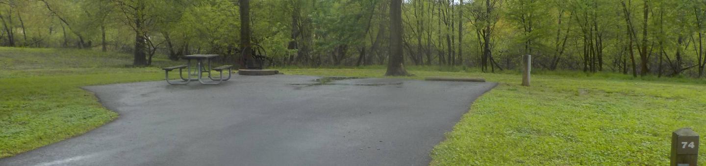
BIKING, CAMPING, HIKING, HORSEBACK RIDING, HUNTING, WILDLIFE VIEWING, ENVIRONMENTAL EDUCATION, PHOTOGRAPHY
Camping Reservations
Reserve your campsite at these camping areas:
Hiking Trails
Looking for nice hiking areas to take a hike? Choose from these scenic hiking trails:
Related Link(s)
More California Recreation Areas
Archeological resources such as petroglyphs and rock rings are located in this area. These resources are considered sacred by the Native American Tribes along the Colorado River. A wildlife watering guzzler is also located at the site and is kept active by a water pump leading from the well. This site is located on the west end of the Chemehuevi Wash and receives visitation by OHV riders.