Phone
530-257-0456
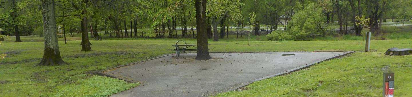
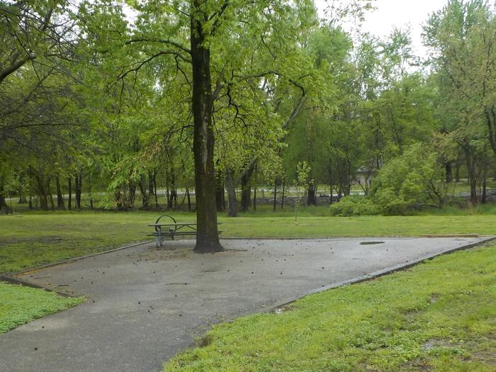
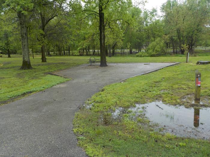
Activities
CAMPING, HIKING, HORSEBACK RIDING, HUNTING, WILDLIFE VIEWING, PHOTOGRAPHY
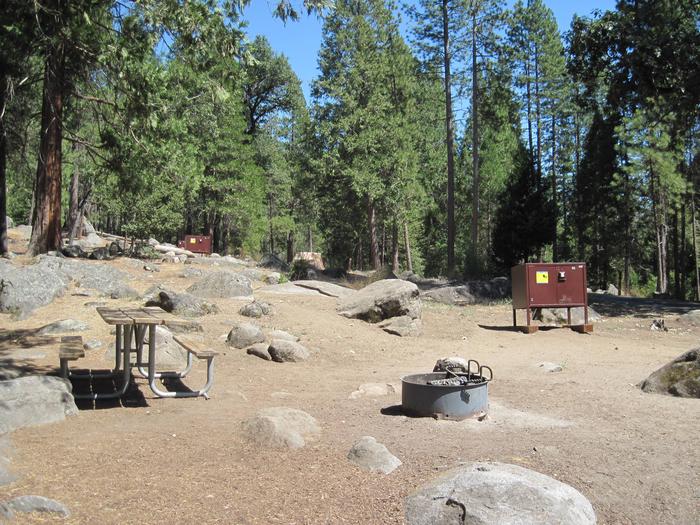
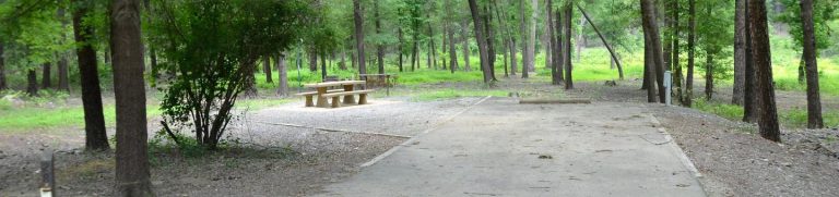
Camping Reservations
Reserve your campsite at these camping areas:
Hiking Trails
Looking for nice hiking areas to take a hike? Choose from these scenic hiking trails:
Related Link(s)
More California Recreation Areas
BLM California YouTube Channel
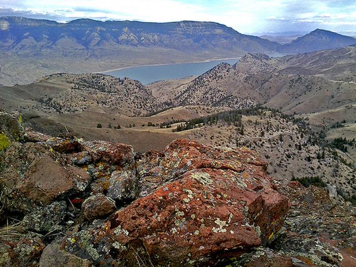
The Tunnison Mountain WSA is located in Lassen County, California. The WSA contains 19,884 acres of BLM-administered land and 553 acres of private land that is located in 13 parcels, varying in size from 10 to 160 acres. The WSA is located on the eastern edge of the transition area between the wooded slopes of the Cascade Range and the western edge of the more arid Great Basin. It is approximately 3.5 miles wide by 10 miles long. Elevations vary from 4,200 to 6,400 feet. Three topographical features dominate the WSA: Horse Lake Mountain, a 5.5-mile-long north-south ridge in the northern half of the WSA; Tunnison Mountain, a 4.5-mile-long northwest-southeast ridge in the southern half of the WSA; and Willow Creek Canyon, a 50- to 200-foot-deep canyon that flows 6.5 miles west to east through the WSA. Ponderosa and Jeffery pines grow in the southern end of the WSA south of Willow Creek, while the majority of the WSA is dominated by shrubs, grasses, and scattered juniper. Vegetation also includes isolated patches of mountain mahogany at the higher elevations. The riparian vegetation along Willow Creek includes sedges, grasses, and occasional willows.