Directions
Mackay Island NWR is located near Knotts Island, NC. From Princess Anne Road in Virginia Beach, VA, travel south. Once in NC, this road is called NC Highway 615 South. The office entrance road is located on the right about 1 mile south of the state line. The refuge may also be reached by taking the free ferry from Currituck, NC. Once on Knotts Island, you can reach the office entrance road by traveling 9.2 miles on NC Highway 615 North. The ferry has a 45-minute crossing time, and leaves Currituck, NC at 6 am, 9 am, 11 am, 1 pm, 3:30 pm, and 5:30 pm, 7 days a week.
Phone
252-429-3100
Activities
BIKING, BOATING, FISHING, HIKING, HUNTING, WILDLIFE VIEWING, ENVIRONMENTAL EDUCATION, PHOTOGRAPHY, PADDLING
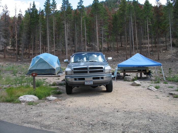
Camping Reservations
Reserve your campsite at these camping areas:
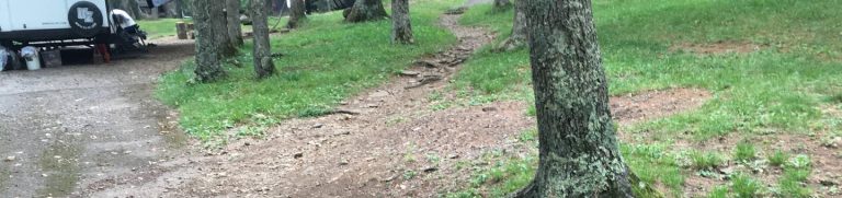
Hiking Trails
Looking for nice hiking areas to take a hike? Choose from these scenic hiking trails:
Related Link(s)
More North Carolina Recreation Areas
Mackay Island National Wildlife Refuge
Mackay Island National Wildlife Refuge was established in 1960 to provide habitat for migratory waterfowl, primarily the greater snow goose. Located between Back Bay in Virginia and the Currituck Sound in NC, the refuge is comprised primarly of marsh habitat. This area has long been recognized for supporting significant migratory waterfowl populations and sport fishery resources. The refuge is strategically located along the Atlantic Flyway, making it an important wintering area for ducks, geese, and tundra swans. At times, flocks of over 12,000 snow geese may be observed on the refuge after their arrival in November. Many other wildlife species such as wading birds, shorebirds, raptors, neotropical migrants, mammals, reptiles, and amphibians use refuge habitats for food, cover, and nesting. A pair of bald eagles also nest on the refuge. About 74 percent of the refuge is slightly brackish marsh habitat, dominated by cattails, black needlerush, and giant cordgrass. The remaining habitat includes farmland, marsh impoundments, brush and typical upland and lowland Eastern pine-hardwood forest. Vegetation in these areas includes loblolly pine, sweet gum, black gum, cypress, red maple, hickory, and oak.