Directions
From I-10, about 8 miles south of Anthony, NM (at the TX state line), take exit #8 to TX 178/Artcraft Rd. After exiting, take the second right onto TX 178/Artcraft Rd and drive about 9 miles to NM 9/Columbus Rd (Note: TX-178 becomes NM-136 at the state line). Turn right and drive west about 24 miles on NM Hwy 9 to County Road 005. Turn right and drive north. At just over 1 mile, you will reach a gate on private land; continue for another .5 miles to reenter public lands. For the next 3 miles, between the private land and the intersection with County Road 007, the WSA is on the left of the road which forms the WSAs eastern boundary.
Phone
575-525-4300
Activities
HIKING
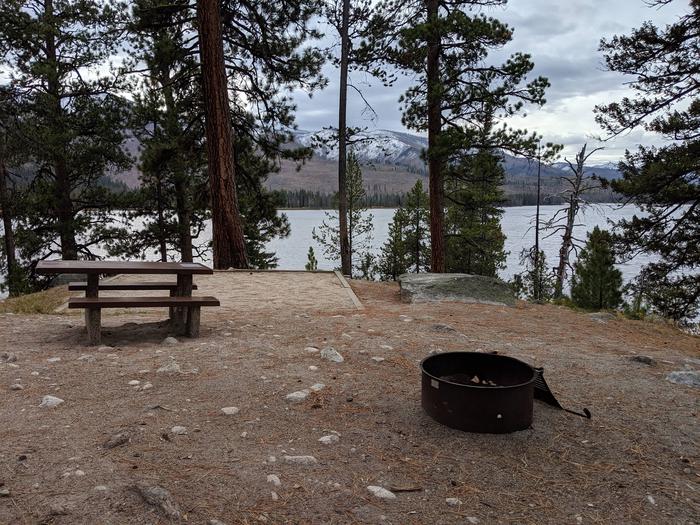
Camping Reservations
Reserve your campsite at these camping areas:
Hiking Trails
Looking for nice hiking areas to take a hike? Choose from these scenic hiking trails:
Related Link(s)
More New Mexico Recreation Areas
BLM New Mexico YouTube Channel
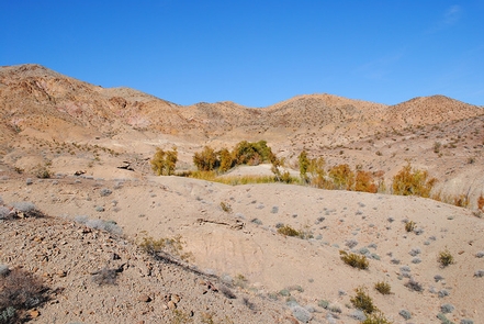
The West Potrillo Mountains WSA is located in southern New Mexico, approximately 30 miles southwest of Las Cruces in the Chihuahuan Desert. These mountains are a series of 48 volcanic cinder cones with small sand dunes, playas, and lava fields in-between. The vegetation consists of desert grasses and shrubs. Indian Basin, a natural depression at the southwest end of the West Potrillo Mountains, fills with water during the rainy season providing a temporary pond for ducks. Wintering raptors are found in high numbers due to a high small mammal prey base.
Per the John D. Dingell, Jr. Conservation, Management, and Recreation Act which became law on March 12, 2019, this web page is currently being updated. To find more information on the new wilderness areas in New Mexico created by the Act, please visit: Wilderness Connect