Directions
The Wild Rivers Backcountry Byway is located in northern New Mexico, 26 miles north of Taos and 17 miles south of the Colorado-New Mexico state line, near the town of Questa. From New Mexico Highway 522, turn west onto NM 378 approximately 2 miles north of Questa. The Byway is an extension of NM 378 into BLM’s Wild Rivers Recreation Area.
Phone
575-758-8851
Activities
AUTO TOURING, BIKING, CAMPING, FISHING, HIKING, WILDLIFE VIEWING
Camping Reservations
Reserve your campsite at these camping areas:
Hiking Trails
Looking for nice hiking areas to take a hike? Choose from these scenic hiking trails:
Related Link(s)
More New Mexico Recreation Areas
BLM New Mexico YouTube Channel
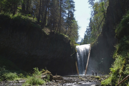
The Wild Rivers Backcountry Byway is a 13 mile closed-loop road providing access to BLM’s Wild Rivers Recreation Area within the Rio Grande National Monument. The double-lane, low-speed, paved road provides the visitor with access to scenic views and recreational facilities in the Recreation Area. For information regarding what you will see, or the public lands you will have access to along the byway, see BLM’s Wild Rivers Recreation Area website.


