Directions
You can reach the WSA’s southern edge from Highway 285 by taking Forest Road 118 (north of San Antonio Mountain – about 19 miles north of Tres Piedras). Take Forest Road 118 west for just over three miles to an unmaintained, unmarked dirt vehicle route, which leads north and branches into other routes. At about two miles, these routes intersect or come very close to the WSA boundary which is located to the west.
Phone
575-758-8851
Activities
HIKING
Camping Reservations
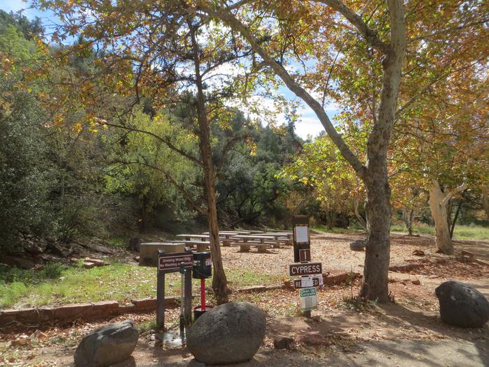
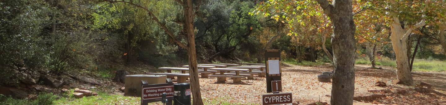
Reserve your campsite at these camping areas:
Hiking Trails
Looking for nice hiking areas to take a hike? Choose from these scenic hiking trails:
Related Link(s)
More New Mexico Recreation Areas
BLM New Mexico YouTube Channel
The San Antonio WSA is located in northern New Mexico. A flat plain at about 8,400 feet in elevation contains a gorge about 100 feet deep carved by the Rio San Antonio. Because of upstream diversions, the lower stretches of the river go dry in the summer. The plain is grass and shrub covered, while the gorge includes stretches with Douglas fir and spruce.
Per the John D. Dingell, Jr. Conservation, Management, and Recreation Act which became law on March 12, 2019, this web page is currently being updated. To find more information on the new wilderness areas in New Mexico created by the Act, please visit: Wilderness Connect