Directions
The 61 WPAs in Rainwater Basin WMD are scattered throughout 14 counties in southeastern Nebraska, extending from Gosper County in the west to Seward County in the east. Please contact Rainwater Basin WMD staff for directions to a specific WPA.
Phone
308-263-3000
Activities
AUTO TOURING, HIKING, HUNTING, WILDLIFE VIEWING
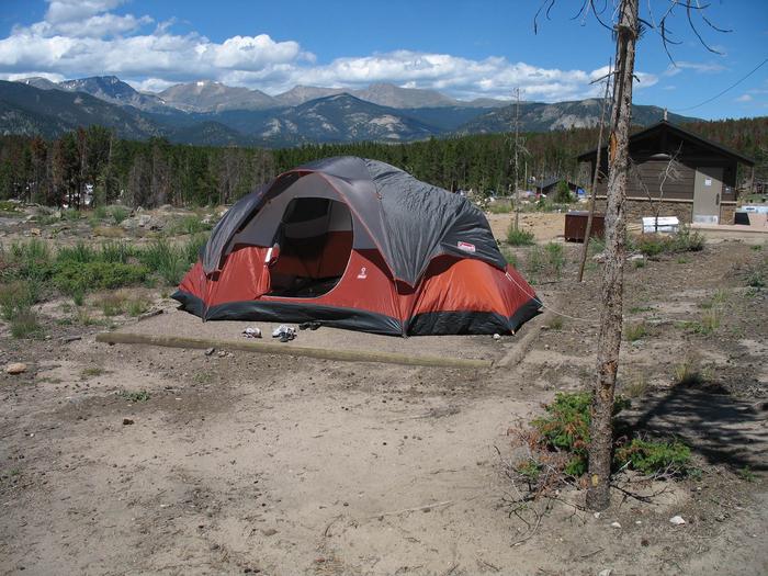
Camping Reservations
Reserve your campsite at these camping areas:
Hiking Trails
Looking for nice hiking areas to take a hike? Choose from these scenic hiking trails:
Related Link(s)
More Nebraska Recreation Areas
Rainwater Basin Wetland Management District
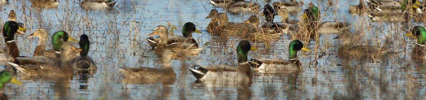
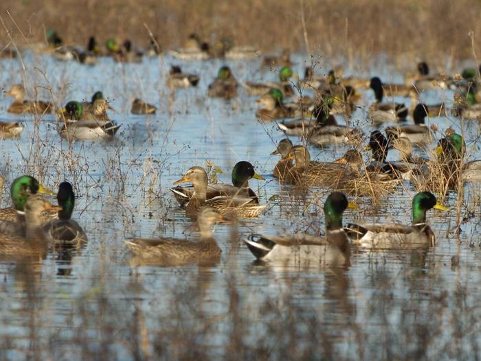
The Rainwater Basin Wetland Management District (WMD) staff manages 61 tracts of wetlands, totaling 23,059 acres scattered over more than 14 counties in southeastern Nebraska. Each of the 61 areas, known as waterfowl production areas (WPA), is located in a geographic area known as the Rainwater Basin. The name “Rainwater Basin” originates from the geologic formation of large, wind-blown shallow depressions, which become flooded after rain and snow melt. WPAs are managed to provide resting stops for millions of migratory water birds. Upland areas are managed for grassland species. WPAs provide excellent recreational opportunities, including hunting, photography, and bird watching.