Directions
The refuge is located on the north and south sides of Highway 8, nine miles west of Holcomb, MS.
Phone
662-226-8286
Activities
BOATING, FISHING, HUNTING
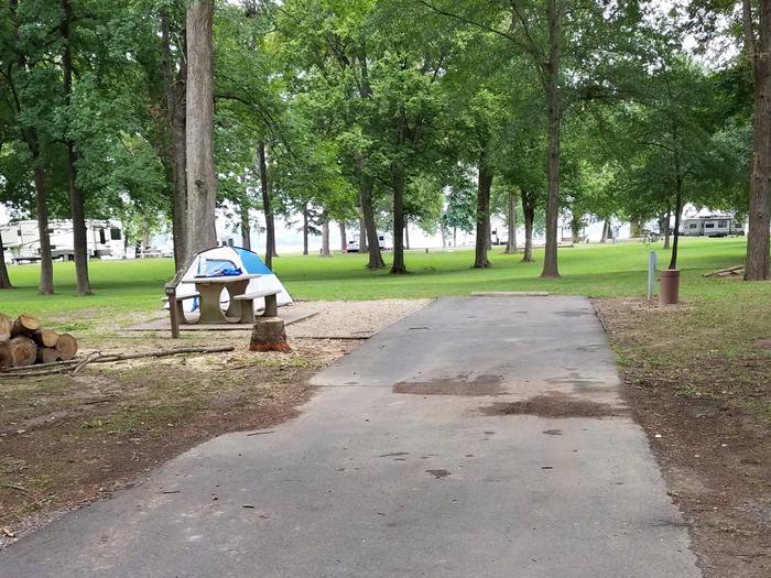
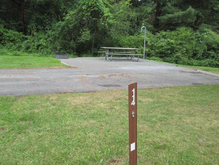
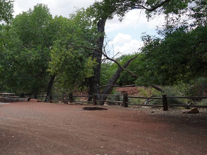
Camping Reservations
Reserve your campsite at these camping areas:
Hiking Trails
Looking for nice hiking areas to take a hike? Choose from these scenic hiking trails:
Related Link(s)
More Mississippi Recreation Areas
The Tallahatchie National Wildlife Refuge was established in 1990 and consists of 4,083 acres in Grenada and Tallahatchie Counties. Topography is relatively flat and land has been subject to extensive clearing and drainage. Upon acquisition the refuge lands consited mostly of agricultural fields. Since then, nearly 1,300 acres have been reforested. The unit’s largest continuous tract is a patchwork of cultivated farmlands, old fields, and small scattered hardwood bottomland forests bisected by the meandering Tippo Bayou that is its center piece. The old oxbows and low-lying fields along Tippo Bayou flood each winter and hold large concentrations of waterfowl. Wood ducks abound here and the unit has a very healthy deer herd. Peregrine falcon, bald eagles, merlin, least tern, black tern and wood stork occasionally pass through the refuge in migration. Eastern screech owls, barred owls, great-horned owls, loggerhead shrikes, and red-tailed hawks are common year-round residents. Blue grosbeaks, dickcissels, and painted buntings can be seen during the summer months. Most of the agriculture land of the area is devoted to raising soybeans and rice, for the benefit of waterfowl. The refuge is complimented on the south by the 9,483 acre Malmaison Wildlife Management Area managed by the State of Mississippi.