Directions
To reach the White Rock Range WSA, drive west from Cedar City on Highway 56 approximately 51 miles to the town of Modena. At the intersection of Highway 56 and Modena?s Main Street/Modena Canyon Road, take a right, and travel north on the Modena Canyon/Hamblin Valley Road, and travel ~12.6 miles north. Make a left at this intersection (Hall?s Road), and travel ~1.1 miles west. Make a right hand turn onto 13600 W. Travel north on this road for 11.1 miles. Make a left hand turn onto the dirt road, and travel the winding road west (into Nevada), for 6.2 miles to a “Y” intersection. Turn right and continue 1.0 miles (stay to the left at the next immediate intersection). You will merge with the Reeds Cabin Summit road and make a slight right. The southern portion of the WSA is located 1.9 miles past the merge onto Reeds Cabin Summit Road.
Phone
435-865-3000
Activities
CAMPING, HIKING, HORSEBACK RIDING, HUNTING, WILDLIFE VIEWING, PHOTOGRAPHY
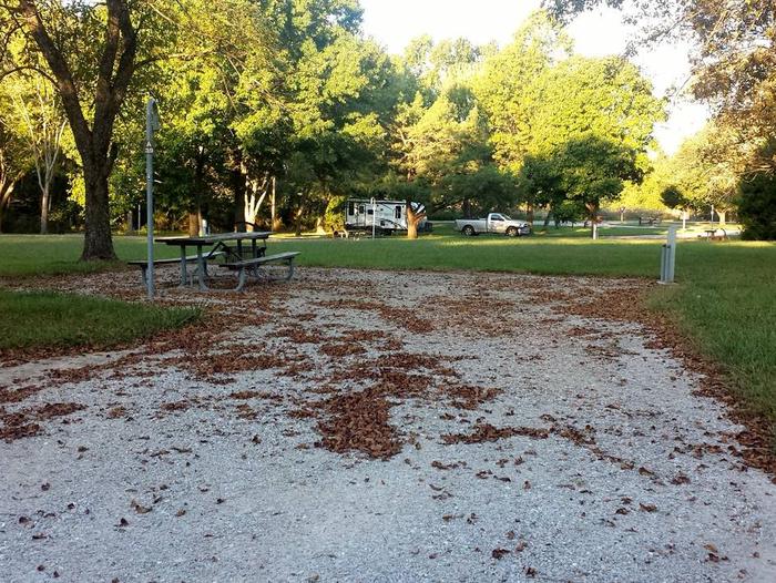
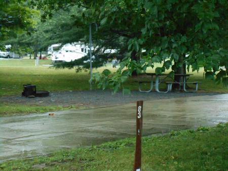
Camping Reservations
Reserve your campsite at these camping areas:
Hiking Trails
Looking for nice hiking areas to take a hike? Choose from these scenic hiking trails:
Related Link(s)
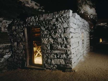
The White Rock Range WSA is a part of the greater White Rock Mountains, a pristine north-south oriented mountain range that straddles the border of east-central Nevada and western Utah. The WSA is 3,767 acres in size and lies on the boundary of Beaver and Iron counties in western Utah, approximately 50 miles west of Cedar City. Originally, the White Rock Range WSA was 24,065 acres in size and straddled the border of Nevada and Utah. In 2004, the Nevada portion was designated as wilderness under the Lincoln County Conservation Recreation Development Act. Adjacent lands in Utah continue to be managed as a WSA by the Cedar City BLM Field Office. The WSA and surrounding lands consist of gentle mountain terrain with associated foothills and benches. Many side canyons and drainages exist throughout the range offer opportunities for exploration. Vegetation consists mostly of pinyon-juniper woodland and fir depending on elevation which ranges from approximately 6,200 to over 9,000 feet. Interspersed throughout the area are numerous small grassy meadows where springs support riparian vegetation. Notable wildlife found in the White Rock Range WSA include cougar, bobcat, badger, jackrabbit, along with several bird and reptile species, as well as a large elk herd and mule deer herd. The White Rock Range is primitive in the most literal sense. Virtually untouched by human activity, the area has the capacity to accommodate large numbers of visitors while still maintaining solitude due to the heavy tree cover and jumbled mountain topography. The volcanic nature of the geology results in strangely beautiful peaks that tower above a sea of green trees offering expansive views of surrounding basins and ranges. Solitude, lands unaffected by outside influences, and the opportunity for primitive recreation combine with the abundance of natural springs to make this area an ideal destination for the avid outdoors person.