
Directions
The refuge office/visitor center is located 18 miles northeast of Detroit Lakes, MN, at the junction of County Roads 26 & 29. Leaving Detroit Lakes on Hwy 34 East, go 9 miles to intersection of County Road 29, turn left going north on 29, and go approximately 9 miles (paved and gravel roads). Leaving Detroit Lakes on County Road 21, go north approximately 9 miles to intersection of County Road 26, turn right, going east on 26 approximately 9 miles (paved/gravel road).
Phone
218-847-2641
Activities
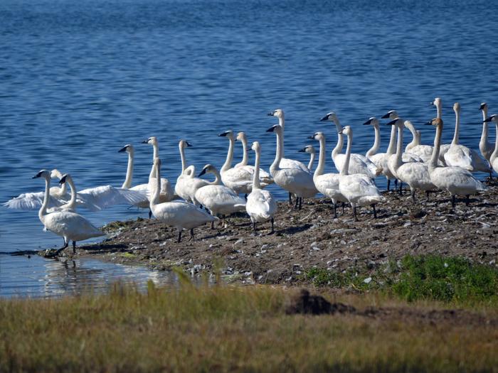
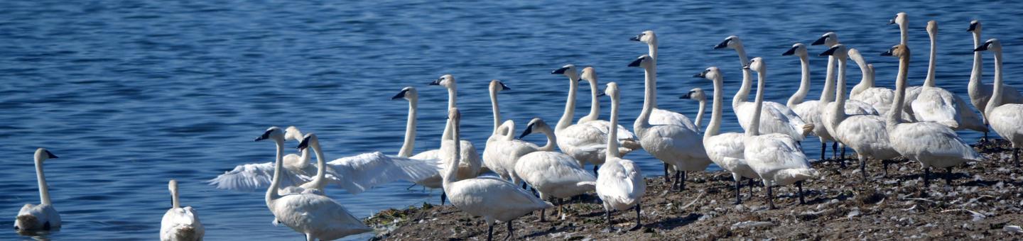
AUTO TOURING, BOATING, INTERPRETIVE PROGRAMS, FISHING, HIKING, HUNTING, VISITOR CENTER, WILDLIFE VIEWING
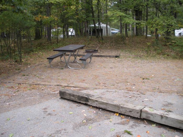
Camping Reservations
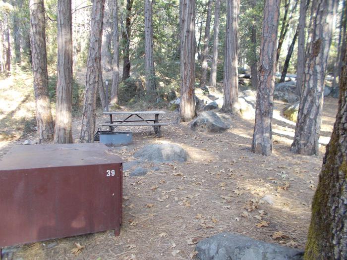
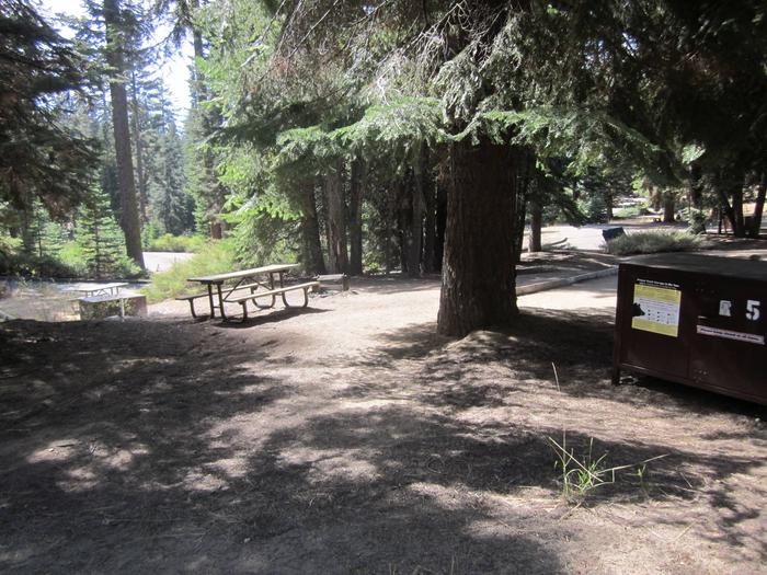
Reserve your campsite at these camping areas:
Hiking Trails
Looking for nice hiking areas to take a hike? Choose from these scenic hiking trails:
Related Link(s)
More Minnesota Recreation Areas
Tamarac National Wildlife Refuge covers 42,724 acres and lies in the glacial lake country of northwestern Minnesota in Becker County, 18 miles northeast of Detroit Lakes. It was established in 1938 as a refuge breeding ground for migratory birds and other wildlife. Refuge topography consists of rolling forested hills interspersed with lakes, rivers, marshes, bogs and shrub swamps. The token of the refuge is the tamarac tree. This unusual tree is a deciduous conifer, turning a brilliant gold before losing its needles each fall. Tamarac lies in the heart of one of the most diverse vegetative transition zones in North America, where northern hardwood forests, coniferous forests and the tall grass prairie converge. This diversity of habitat brings with it a wealth of wildlife, both woodland and prairie species. An attractive visitor center offers a spectacular vista of the marshes and trees that are typical of the Tamarac Refuge. A theater presentation provides orientation to the life and legends of this unique area.