Directions
Access to the Sevier River can be found by taking Highway 89 up Marysvale Canyon.
Phone
435-896-1500
Activities
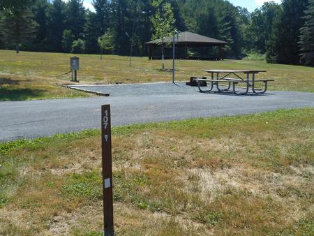
CAMPING, FISHING, WATER SPORTS, WILDLIFE VIEWING, ENVIRONMENTAL EDUCATION, PHOTOGRAPHY
Camping Reservations
Reserve your campsite at these camping areas:
Hiking Trails
Looking for nice hiking areas to take a hike? Choose from these scenic hiking trails:
Related Link(s)
Sevier Canyon, also known as Marysvale Canyon, lies along the Paiute and Sevier County lines. Utah State Highway 89 runs directly down its course along the west side, with the Sevier River in its bottom. The river attracts rafters, tubers, fishermen, campers, and has a developed and popular bike path running along the East side of the river to the resort of Big Rock Cany Mountain. Access to the trail can be found at the mouth of the canyon, Joseph, Elsinore, and Central. Access is planned to be available through the town of Richfield as the trail continues to be developed. The scenic views in Sevier Canyon are excellent.


