Directions
The Orson Adams House is located just off Interstate 15, 14 miles northeast of St. George, Utah. From I-15 Exit 22* (northbound only), turn right onto the frontage road at the end of the freeway off-ramp. Travel south approximately 2 miles. Turn right just past the sign for the Red Cliffs Recreation Area. Proceed under the two freeway tunnels. Just after the exiting the last freeway tunnel, turn right and follow the gravel road into the trailhead. Pay a day use fee and park in trailhead. *From I-15 Exit 23 (southbound only), turn left on Silver Reef Road at the end of the freeway off-ramp. Turn right onto Main Street and travel south for 3.5 miles. Turn right just past the sign for the Red Cliffs Recreation Area. Proceed under the two freeway tunnels. Just after the exiting the last freeway tunnel, turn right and follow the gravel road into the trailhead. Pay a day use fee and park in trailhead.
Phone
435-688-3200
Activities
PHOTOGRAPHY
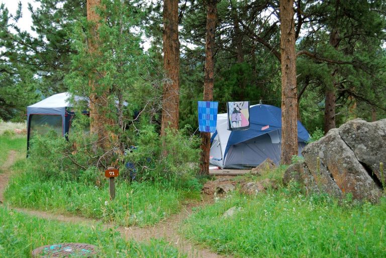
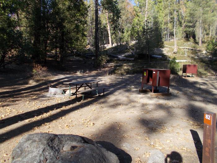
Camping Reservations
Reserve your campsite at these camping areas:
Hiking Trails
Looking for nice hiking areas to take a hike? Choose from these scenic hiking trails:
Related Link(s)
Orson B. Adams House The St. George Field Office has completed rehabilitation of a mid-19th century Mormon pioneer residence for adaptive re-use. This small sandstone masonry house was built in 1863 for the Orson B. Adams family, in the now abandoned Mormon agricultural settlement of Harrisburg, located approximately 15 miles north of St. George. Critical to the successful completion of the rehabilitation project were partnerships with Washington County, the Utah Heritage Foundation, and the National Trust for Historic Preservation; technical assistance from the Utah State Historic Preservation Office; and volunteer labor during several phases of the project. The Adams house is open sporadically for public visitation with the assistance of volunteer docents. In 2004, Washington County, Utah State University (USU), and the Utah Chapter-American Society of Landscape Architects worked with BLM to create a conceptual plan for public recreation use of the 215 acres that surround the Adams house. Quail Creek flows through the tract, creating a lush riparian area with tall cottonwood trees and willows. Other historic Harrisburg structures, terraced gardens, an orchard, fields outlined by native rock walls, irrigation ditches, and wagon roads are preserved on the property. Students and faculty from USU documented the features of this still-intact 19th century agrarian landscape, as part of the first Historic American Landscape Survey conducted in Utah. The final concept plan will integrate the Adams house with a system of linked hiking, mountain biking, and equestrian trails that connect to trails in the Red Cliffs Recreation Area, the Red Cliffs National Conservation Area, and the nearby historic Silver Reef mining district. Based on the conceptual plan, BLM completed an environmental assessment for the proposed development of a non-motorized trail system and an equestrian trailhead. Today the White Reef Trailhead provides access to a trail system that visits 5 public use sites within the Red Cliffs Recreation Area including the Orson B. Adams House.