Directions
White Trailhead – From City of St. George travel north on Interstate 15. Take exit 16 to Hurricane City. Turn right on Main Street. Take the first left onto State Route 59. Turn left on Smithsonian Butte National Backcountry Byway. At 2.8 miles from the SR 59, turn left and travel northwest 3.3 miles until reaching the Gooseberry Trailhead. Turn left at the Gooseberry Trailhead and travel west for 1.3 miles to reach the White Trailhead.
Phone
435-688-3200
Activities
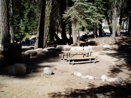
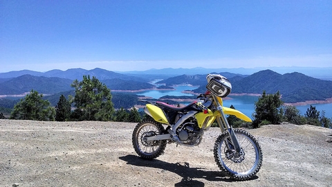
BIKING, CAMPING, WILDLIFE VIEWING
Camping Reservations
Reserve your campsite at these camping areas:
Hiking Trails
Looking for nice hiking areas to take a hike? Choose from these scenic hiking trails:
Related Link(s)
Gooseberry Mesa National Recreation Trail is located on Gooseberry Mesa in southern Utah’s red rock country. At an elevation of 5,200 feet, views from the mesa rims are spectacular. Rising to the north are the massive sandstone sentinels of Zion National Park. Spread out below the west rim is a panorama of colorful desert mesas and water carved canyons.
The Gooseberry Mesa National Recreation Trail is actually a system of trails sweeping across the mesa. Developed in the late 1990’s through cooperative efforts, it received National Recreation Trail status in 2006.
For information on recommended trail users, maps, difficulty ratings, and other important facts please download the Gooseberry Mesa Brochure.