Directions
The best way to get to the refuge is through Sabine Pass. Highway 87, washed out by coastal erosion, no longer connects High Island with the refuge. The refuge is located west of Sabine Pass on Highway 87.
Phone
409-971-2909
Activities
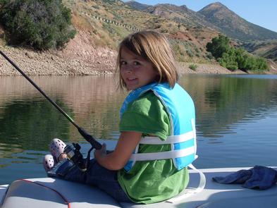
BOATING, FISHING, HIKING, HUNTING
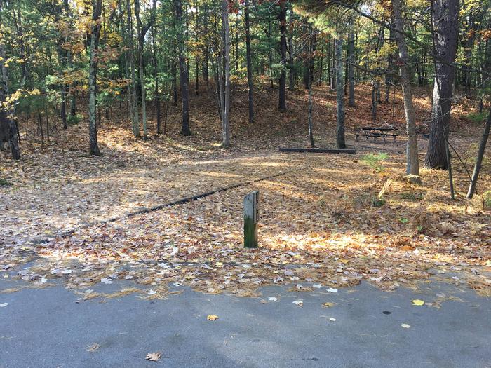
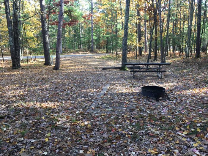
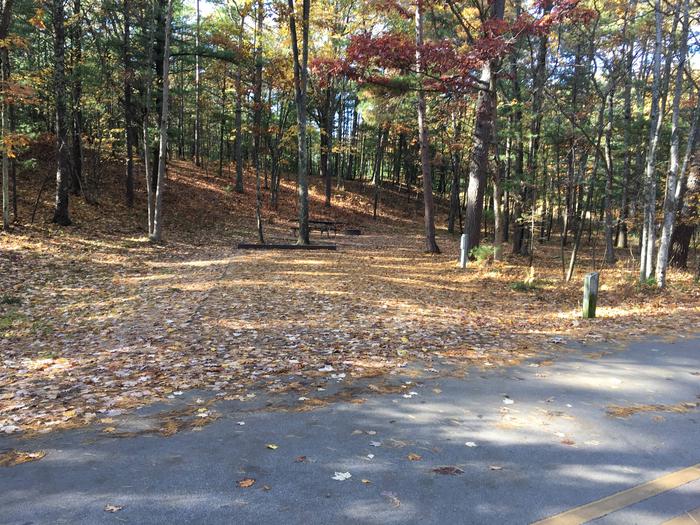
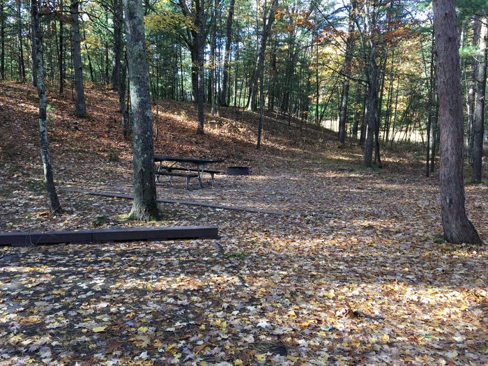
Camping Reservations
Reserve your campsite at these camping areas:
Hiking Trails
Looking for nice hiking areas to take a hike? Choose from these scenic hiking trails:
Related Link(s)
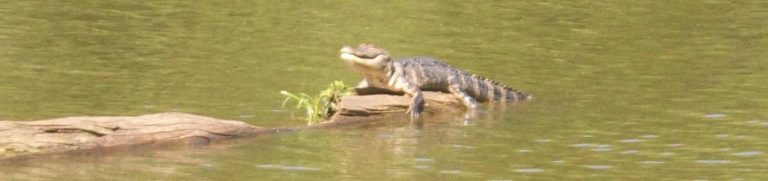
Bayous weave through a seemingly endless expanse of cordgrass, reptilian eyes at the water’s surface witness the ever-changing variety of waterfowl, and the call of the clapper rail reverberates through the marsh. For hundreds of years, many of the sights and sounds within this dynamic eco-system have gone untouched. Under the protective umbrella of the U.S. Fish and Wildlife Service, the hope and expectation is that they will continue for hundreds more. Welcome to the McFaddin and Texas Point NWRs, located on the upper Texas Coast. The two refuges supply important feeding and resting habitat for migrating and wintering populations of waterfowl. Established in 1980 and 1979, respectively, the 55,000 acre McFaddin NWR consists of the largest remaining freshwater marsh on the Texas Coast and thousands of acres of intermediate to brackish marsh, while neighboring Texas Point NWR encompasses 8,900 acres of fresh to salt marsh with some wooded uplands and prairie ridges. McFaddin and Texas Point National Wildlife Refuges are two of the 540 refuges that comprise the National Wildlife Refuge System, a national network of lands and waters set aside for the benefit of wildlife, and you!