
Directions
The Mountain of the Rogue Trail System is located 18 miles north of Medford and 7 miles south of Grants Pass and is easily accessible from Interstate 5. Take Exit 48 at city of Rogue River. Turn north on Depot Street (toward town). Cross the railroad tracks and immediately turn right on Classick Drive. Turn right on North River Road and travel about 1 mile to the trailhead on the left.
Phone
541-618-2200
Activities
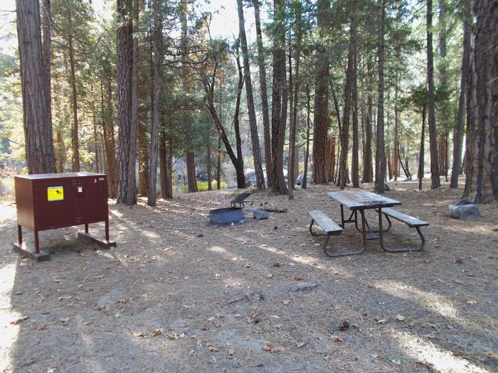
BIKING, HIKING, DAY USE AREA
Camping Reservations
Reserve your campsite at these camping areas:
Hiking Trails
Looking for nice hiking areas to take a hike? Choose from these scenic hiking trails:
Related Link(s)
BLM Mountain Biking: Mountain of the Rogue
Overview:
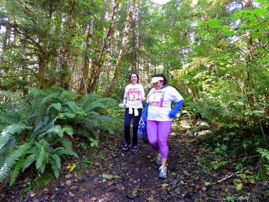
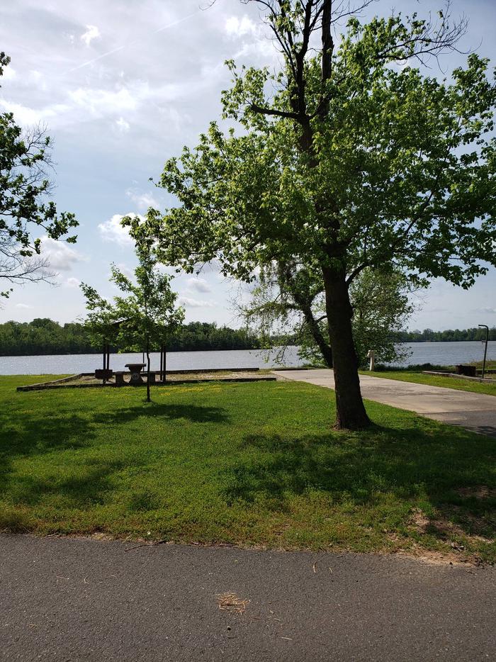
Test your skills on this single-track, flow trail designed specifically for mountain bikes. Seven miles of trail (with more planned) provide a stacked loop system of trails with opportunities for beginning to advanced bikers. The higher you climb, the more technically challenging the trails become. A climb of 1,300 feet in elevation to the top of Tin Pan Peak rewards the advanced rider with a thrilling descent that features exposure, steep rollers, tight turns, berms, and rock gardens. The lower loops deliver plenty of challenges for beginning and intermediate riders. Spectacular views of the Rogue River and surrounding mountains abound from many locations along the trail.
Know before You Go:
- Open year-round; riding during wet conditions is discouraged.
- Day-use only.
- No water or trash cans.
- Restroom available.
- Watch out for poison oak and rattlesnakes.
- Be aware that the trail system is directional with portions open to both hikers and bikers.
- The best riding conditions are in the spring and fall or early in the day in the summer. Summers can be very hot and dry and winter freeze-thaw can make the trail muddy.
Point of Interest:
The trail system is maintained with help from the Rogue Valley Mountain Bike Association (RVMBA) and community volunteers.
med-mountain-rogue-brochure.pdf
Explore Oregon Recreation: Mountain of the Rogue Trail System